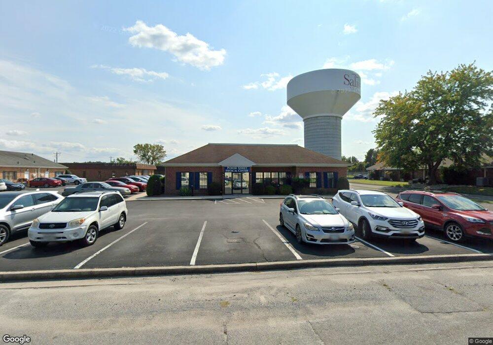
100 Power St Salisbury, MD 21804
South Salisbury NeighborhoodEstimated Value: $725,042
Studio
--
Bath
4,100
Sq Ft
$177/Sq Ft
Est. Value
About This Home
This home is located at 100 Power St, Salisbury, MD 21804 and is currently estimated at $725,042, approximately $176 per square foot. 100 Power St is a home located in Wicomico County with nearby schools including Prince Street Elementary School, Bennett Middle School, and James M. Bennett High School.
Ownership History
Date
Name
Owned For
Owner Type
Purchase Details
Closed on
Jan 9, 2023
Sold by
A & E Llc
Bought by
Chesapeake Health Care
Current Estimated Value
Purchase Details
Closed on
May 4, 2004
Sold by
Tilghman M W
Bought by
A & E Llc
Purchase Details
Closed on
Oct 19, 1999
Sold by
Imp Partnership
Bought by
Tilghman M W
Purchase Details
Closed on
Sep 23, 1991
Sold by
Ellis Wilber R M D
Bought by
Imp Partnership
Create a Home Valuation Report for This Property
The Home Valuation Report is an in-depth analysis detailing your home's value as well as a comparison with similar homes in the area
Home Values in the Area
Average Home Value in this Area
Purchase History
| Date | Buyer | Sale Price | Title Company |
|---|---|---|---|
| Chesapeake Health Care | $580,000 | -- | |
| A & E Llc | $420,000 | -- | |
| Tilghman M W | $370,000 | -- | |
| Imp Partnership | $21,300 | -- |
Source: Public Records
Tax History
| Year | Tax Paid | Tax Assessment Tax Assessment Total Assessment is a certain percentage of the fair market value that is determined by local assessors to be the total taxable value of land and additions on the property. | Land | Improvement |
|---|---|---|---|---|
| 2025 | $4,404 | $494,567 | $0 | $0 |
| 2024 | $4,404 | $459,300 | $151,900 | $307,400 |
| 2023 | $4,398 | $444,833 | $0 | $0 |
| 2022 | $4,385 | $430,367 | $0 | $0 |
| 2021 | $4,242 | $415,900 | $151,900 | $264,000 |
| 2020 | $4,242 | $411,367 | $0 | $0 |
| 2019 | $4,258 | $406,833 | $0 | $0 |
| 2018 | $8,307 | $402,300 | $151,900 | $250,400 |
| 2017 | $8,306 | $402,267 | $0 | $0 |
| 2016 | -- | $402,233 | $0 | $0 |
| 2015 | $6,959 | $402,200 | $0 | $0 |
| 2014 | $6,959 | $402,200 | $0 | $0 |
Source: Public Records
Map
Nearby Homes
- 111 Francis Dr
- 119 Lakewood Dr
- 152 Onley Rd
- 112 Johnson Dr
- 215 Pine Bluff Rd
- 212 Spring Crest Dr
- 229 Canal Park Dr Unit 407
- 227 Canal Park Dr Unit 206
- 227 Canal Park Dr Unit 205
- 225 Canal Park Dr Unit 15
- 133 Village Oak Dr
- 409 Rolling Rd
- 138 Coulbourn Dr
- 202 Sandy Bottom Ct
- 131 Lakeview Dr
- 321 Carrollton Ave
- 310 Princeton Ave
- 1028 Adams Ave Unit 3 B
- 1007 Spring Ave
- 217 Pinehurst Ave
- 1302 S Division St
- 1300 S Division St Unit C
- 1300 S Division St
- 1300 S Division St Unit B
- 1304 S Division St Unit 3
- 1304 S Division St Unit 1
- 1304 S Division St Unit 2
- 1303 S Division St
- 1301 S Division St
- 105 Farmers Market Rd
- 1223 S Division St
- 101 Milford St
- 1310 S Division St
- 106 Farmers Market Rd
- 104 Power St
- 105 Milford St
- 111 Milford St
- 1219 S Division St
- 106 Francis Dr
- 1305 S Division St Unit 18
Your Personal Tour Guide
Ask me questions while you tour the home.