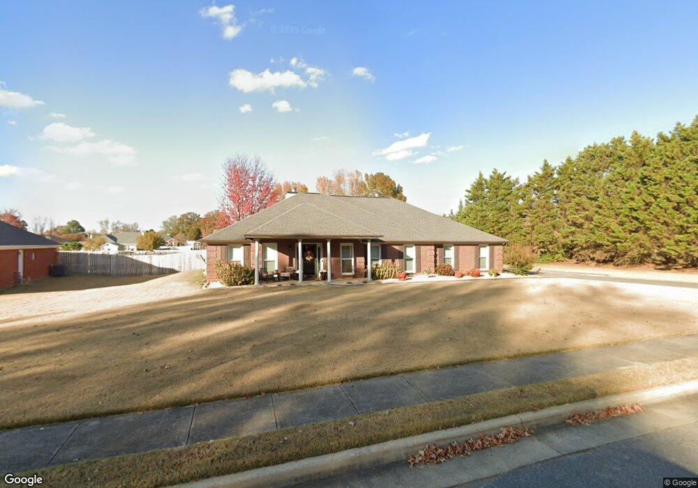
100 Radisson Ln Madison, AL 35758
Estimated Value: $391,000 - $473,000
Studio
1
Bath
2,574
Sq Ft
$171/Sq Ft
Est. Value
About This Home
This home is located at 100 Radisson Ln, Madison, AL 35758 and is currently estimated at $441,319, approximately $171 per square foot. 100 Radisson Ln is a home with nearby schools including Rainbow Elementary School, Discovery Middle School, and Bob Jones High School.
Ownership History
Date
Name
Owned For
Owner Type
Purchase Details
Closed on
Jul 18, 2022
Sold by
Landers Jack H and Landers Cheryl D
Bought by
Lewis Timothy H and Lewis Susan Isbell
Current Estimated Value
Home Financials for this Owner
Home Financials are based on the most recent Mortgage that was taken out on this home.
Original Mortgage
$414,770
Outstanding Balance
$393,952
Interest Rate
5.23%
Mortgage Type
New Conventional
Estimated Equity
$47,367
Create a Home Valuation Report for This Property
The Home Valuation Report is an in-depth analysis detailing your home's value as well as a comparison with similar homes in the area
Home Values in the Area
Average Home Value in this Area
Purchase History
| Date | Buyer | Sale Price | Title Company |
|---|---|---|---|
| Lewis Timothy H | $436,600 | None Listed On Document | |
| Lewis Timothy H | $436,600 | None Listed On Document |
Source: Public Records
Mortgage History
| Date | Status | Borrower | Loan Amount |
|---|---|---|---|
| Open | Lewis Timothy H | $414,770 | |
| Closed | Lewis Timothy H | $414,770 |
Source: Public Records
Tax History
| Year | Tax Paid | Tax Assessment Tax Assessment Total Assessment is a certain percentage of the fair market value that is determined by local assessors to be the total taxable value of land and additions on the property. | Land | Improvement |
|---|---|---|---|---|
| 2025 | $2,616 | $41,720 | $4,800 | $36,920 |
| 2024 | $2,616 | $40,860 | $4,800 | $36,060 |
| 2023 | $2,562 | $37,320 | $4,800 | $32,520 |
| 2022 | $4,611 | $66,080 | $9,600 | $56,480 |
| 2021 | $1,729 | $27,640 | $2,400 | $25,240 |
| 2020 | $1,640 | $26,210 | $2,400 | $23,810 |
| 2019 | $1,273 | $25,200 | $2,400 | $22,800 |
| 2018 | $1,205 | $23,860 | $0 | $0 |
| 2017 | $1,195 | $23,660 | $0 | $0 |
| 2016 | $1,195 | $23,660 | $0 | $0 |
| 2015 | $1,195 | $23,660 | $0 | $0 |
| 2014 | $1,169 | $23,360 | $0 | $0 |
Source: Public Records
Map
Nearby Homes
- 102 Wildweed Ct
- 136 Arabian Dr
- 141 Antique Rose Dr
- 306 Hughes Pond Cir
- 501 Gooch Ln
- 123 Eastfield Dr
- 150 Antique Rose Dr
- 111 Lonesome Ct
- 29111 Highway 72
- 203 Silverado Dr
- 131 Silver Lake Cir
- 3.44 acres Highway 72
- 4.9 Acres Highway 72
- 6001 Wall Triana Hwy
- 5190 Wall Triana Hwy
- 1231 Hughes Rd
- 87 Jay Dr
- 108 Whitehall
- 30633 Highway 72
- 314 Greenstone Dr
- 102 Radisson Ln
- 101 Radisson Ln
- 104 Radisson Ln
- 103 Radisson Ln
- 117 Rolling Lea Place
- 105 Lea Cir
- 115 Rolling Lea Place
- 106 Radisson Ln
- 116 Rolling Lea Place
- 5642 Wall Triana Hwy
- 101 Misty Glade Ct
- 103 Misty Glade Ct
- 101 Antique Rose Dr
- 105 Misty Glade Ct
- 105 Radisson Ln
- 101 Lea Cir
- 107 Lea Cir
- 113 Rolling Lea Place
- 100 Antique Rose Dr
- 114 Rolling Lea Place
Your Personal Tour Guide
Ask me questions while you tour the home.