Estimated Value: $2,022,625 - $2,089,000
4
Beds
4
Baths
3,795
Sq Ft
$540/Sq Ft
Est. Value
About This Home
This home is located at 100 Reservoir Rd, Lenox, MA 01240 and is currently estimated at $2,050,208, approximately $540 per square foot. 100 Reservoir Rd is a home located in Berkshire County with nearby schools including Morris Elementary School and Lenox Memorial High School.
Ownership History
Date
Name
Owned For
Owner Type
Purchase Details
Closed on
May 22, 2023
Sold by
Carter Daniel and Carter Deborah
Bought by
Daniel J Carter 2007 Ret
Current Estimated Value
Purchase Details
Closed on
Jan 16, 2008
Sold by
100 Reservoir Road Nt
Bought by
Carter Daniel and Carter Deborah
Home Financials for this Owner
Home Financials are based on the most recent Mortgage that was taken out on this home.
Original Mortgage
$417,000
Interest Rate
6.02%
Mortgage Type
Purchase Money Mortgage
Purchase Details
Closed on
Oct 4, 2007
Sold by
Harmon Harvey and Harmon Lois
Bought by
100 Reservoir Road Nt and Burbank Kelton M
Create a Home Valuation Report for This Property
The Home Valuation Report is an in-depth analysis detailing your home's value as well as a comparison with similar homes in the area
Home Values in the Area
Average Home Value in this Area
Purchase History
| Date | Buyer | Sale Price | Title Company |
|---|---|---|---|
| Daniel J Carter 2007 Ret | -- | None Available | |
| Carter Daniel | -- | -- | |
| 100 Reservoir Road Nt | $1,350,000 | -- |
Source: Public Records
Mortgage History
| Date | Status | Borrower | Loan Amount |
|---|---|---|---|
| Previous Owner | Carter Daniel | $417,000 |
Source: Public Records
Tax History Compared to Growth
Tax History
| Year | Tax Paid | Tax Assessment Tax Assessment Total Assessment is a certain percentage of the fair market value that is determined by local assessors to be the total taxable value of land and additions on the property. | Land | Improvement |
|---|---|---|---|---|
| 2025 | $15,106 | $1,669,200 | $812,900 | $856,300 |
| 2024 | $14,078 | $1,552,100 | $767,000 | $785,100 |
| 2023 | $13,551 | $1,479,400 | $723,300 | $756,100 |
| 2022 | $13,344 | $1,231,000 | $603,300 | $627,700 |
| 2021 | $746 | $1,158,800 | $553,400 | $605,400 |
| 2020 | $13,702 | $1,132,400 | $537,400 | $595,000 |
| 2019 | $3,330 | $1,113,300 | $537,400 | $575,900 |
| 2018 | $1,099 | $1,102,500 | $527,000 | $575,500 |
| 2017 | $724 | $1,079,400 | $516,700 | $562,700 |
| 2016 | $3,492 | $1,075,700 | $516,700 | $559,000 |
| 2015 | $13,088 | $1,061,500 | $516,700 | $544,800 |
Source: Public Records
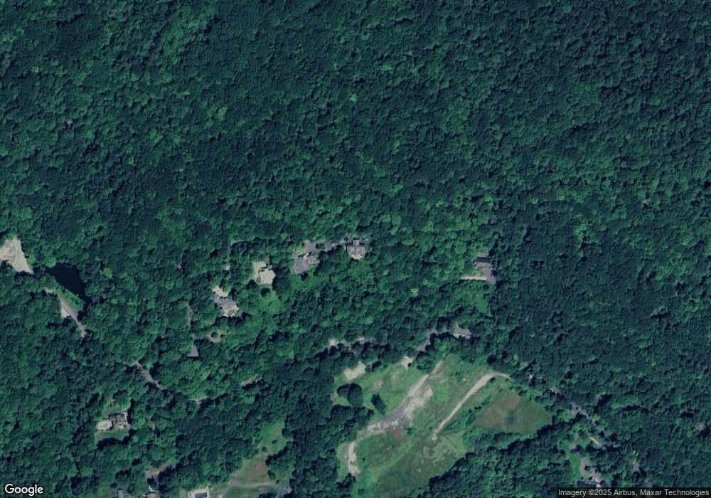
Map
Nearby Homes
- 319 Under Mountain Rd
- 0 Main St
- 13 Taconic Ave
- 257 W Mountain Rd
- 7 Hubbard St
- 15 Hubbard St
- 9 October Hill Dr
- 31 Saint Ann's Ave
- 249 Pittsfield Rd
- 250 West St
- 46 Housatonic St Unit 2B
- 1 Pittsfield Rd
- 137 Housatonic St
- 18 Willow Ln
- 2 Rolling Hills Unit bldg2-4
- 2-5 Rolling Hill Build 2 Unit 5 Ln
- 2 New Lenox Rd
- 1130 East Rd
- 1 Pinecroft Dr
- 4 Stoneledge Rd
- 110 Reservoir Rd
- 120 Reservoir Rd
- 90 Reservoir Rd
- 126 Reservoir Rd
- 147 Reservoir Rd
- 385 Under Mountain Rd
- 419 Under Mountain Rd
- 409 Under Mountain Rd
- 390 Under Mountain Rd
- 49 Reservoir Rd
- 431 Under Mountain Rd
- 33 Reservoir Rd
- 461 Under Mountain Rd
- 317 Under Mountain Rd
- 467 Under Mountain Rd
- 309 Under Mountain Rd
- 471 Under Mountain Rd
- 20 Reservoir Rd