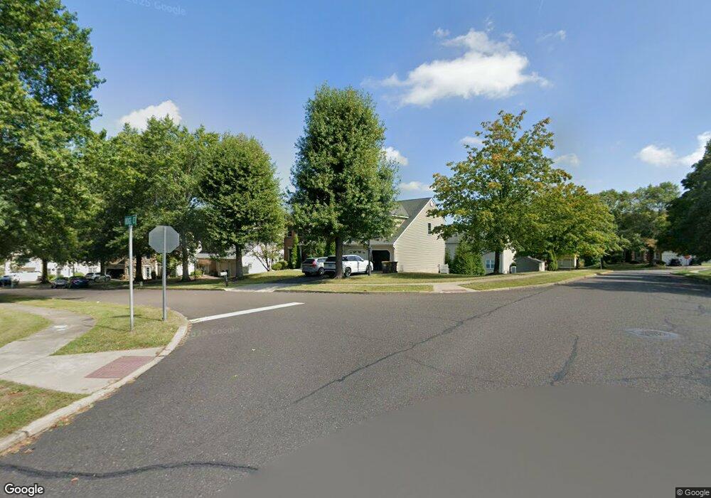
100 Ridge Ct Chalfont, PA 18914
Estimated Value: $724,000 - $777,000
4
Beds
4
Baths
2,896
Sq Ft
$257/Sq Ft
Est. Value
About This Home
This home is located at 100 Ridge Ct, Chalfont, PA 18914 and is currently estimated at $744,767, approximately $257 per square foot. 100 Ridge Ct is a home located in Bucks County with nearby schools including Simon Butler Elementary, Unami Middle School, and Central Bucks High School - South.
Ownership History
Date
Name
Owned For
Owner Type
Purchase Details
Closed on
Mar 12, 1999
Sold by
Williams Crossing Associates Lp
Bought by
Corso Matthew T and Corso Anne M
Current Estimated Value
Home Financials for this Owner
Home Financials are based on the most recent Mortgage that was taken out on this home.
Original Mortgage
$183,600
Outstanding Balance
$44,549
Interest Rate
6.78%
Estimated Equity
$700,218
Purchase Details
Closed on
Oct 31, 1994
Sold by
Glen Eagles Associates L P
Bought by
Williams Crossing Associates L P
Create a Home Valuation Report for This Property
The Home Valuation Report is an in-depth analysis detailing your home's value as well as a comparison with similar homes in the area
Home Values in the Area
Average Home Value in this Area
Purchase History
| Date | Buyer | Sale Price | Title Company |
|---|---|---|---|
| Corso Matthew T | $204,000 | -- | |
| Williams Crossing Associates L P | $28,600 | -- |
Source: Public Records
Mortgage History
| Date | Status | Borrower | Loan Amount |
|---|---|---|---|
| Open | Corso Matthew T | $183,600 |
Source: Public Records
Tax History Compared to Growth
Tax History
| Year | Tax Paid | Tax Assessment Tax Assessment Total Assessment is a certain percentage of the fair market value that is determined by local assessors to be the total taxable value of land and additions on the property. | Land | Improvement |
|---|---|---|---|---|
| 2025 | $6,889 | $39,750 | $7,120 | $32,630 |
| 2024 | $6,889 | $39,750 | $7,120 | $32,630 |
| 2023 | $6,670 | $39,750 | $7,120 | $32,630 |
| 2022 | $6,538 | $39,750 | $7,120 | $32,630 |
| 2021 | $6,464 | $39,750 | $7,120 | $32,630 |
| 2020 | $6,464 | $39,750 | $7,120 | $32,630 |
| 2019 | $6,384 | $39,750 | $7,120 | $32,630 |
| 2018 | $6,384 | $39,750 | $7,120 | $32,630 |
| 2017 | $6,335 | $39,750 | $7,120 | $32,630 |
| 2016 | $6,335 | $39,750 | $7,120 | $32,630 |
| 2015 | -- | $39,750 | $7,120 | $32,630 |
| 2014 | -- | $39,750 | $7,120 | $32,630 |
Source: Public Records
Map
Nearby Homes
- 217 Pebble Ct
- 105 Barry Rd
- 527 Lexington Ave
- 210 Remington Ct Unit 210
- 85 Queens Cir
- 124 Brianna Ct Unit 35
- 122 Brianna Ct Unit 36
- 534 Airy Ave
- 117 Brianna Ct
- 119 Brianna Ct Unit 10
- 111 Brianna Ct Unit 6
- 111 Brianna Ct
- 103 Brianna Ct
- 109 Brianna Ct
- 113 Brianna Ct
- 115 Brianna Ct
- 103 Brianna Ct Unit 2
- 119 Brianna Ct
- 105 Brianna Ct Unit 3
- 109 Brianna Ct Unit 5
- 102 Ridge Ct
- 348 Stonyhill Dr
- 344 Stonyhill Dr
- 394 Stonyhill Dr
- 211 Overlook Dr
- 352 Stonyhill Dr
- 104 Ridge Ct
- 340 Stonyhill Dr
- 393 Stonyhill Dr
- 103 Ridge Ct
- 392 Stonyhill Dr
- 209 Overlook Dr
- 354 Stonyhill Dr
- 106 Ridge Ct
- 336 Stonyhill Dr
- 345 Stonyhill Dr
- 206 Overlook Dr
- 391 Stonyhill Dr
- 347 Stonyhill Dr
- 105 Ridge Ct