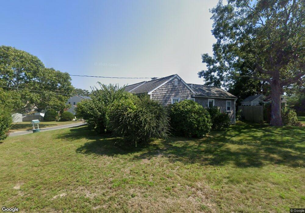
100 Rope Walk Rd Bourne, MA 02532
Estimated Value: $713,000 - $1,118,000
2
Beds
2
Baths
1,001
Sq Ft
$912/Sq Ft
Est. Value
About This Home
This home is located at 100 Rope Walk Rd, Bourne, MA 02532 and is currently estimated at $912,573, approximately $911 per square foot. 100 Rope Walk Rd is a home with nearby schools including Bourne High School.
Ownership History
Date
Name
Owned For
Owner Type
Purchase Details
Closed on
Aug 8, 2000
Sold by
George Dorothy B Est
Bought by
Mullin Patrick J and Mullin Ann T
Current Estimated Value
Home Financials for this Owner
Home Financials are based on the most recent Mortgage that was taken out on this home.
Original Mortgage
$120,000
Interest Rate
8.1%
Mortgage Type
Purchase Money Mortgage
Create a Home Valuation Report for This Property
The Home Valuation Report is an in-depth analysis detailing your home's value as well as a comparison with similar homes in the area
Home Values in the Area
Average Home Value in this Area
Purchase History
| Date | Buyer | Sale Price | Title Company |
|---|---|---|---|
| Mullin Patrick J | $280,000 | -- | |
| Mullin Patrick J | $280,000 | -- |
Source: Public Records
Mortgage History
| Date | Status | Borrower | Loan Amount |
|---|---|---|---|
| Open | Mullin Patrick J | $106,450 | |
| Closed | Mullin Patrick J | $120,000 |
Source: Public Records
Tax History Compared to Growth
Tax History
| Year | Tax Paid | Tax Assessment Tax Assessment Total Assessment is a certain percentage of the fair market value that is determined by local assessors to be the total taxable value of land and additions on the property. | Land | Improvement |
|---|---|---|---|---|
| 2025 | $5,863 | $750,700 | $522,800 | $227,900 |
| 2024 | $5,733 | $714,900 | $497,900 | $217,000 |
| 2023 | $5,575 | $632,800 | $440,700 | $192,100 |
| 2022 | $4,817 | $477,400 | $325,000 | $152,400 |
| 2021 | $4,678 | $434,400 | $295,700 | $138,700 |
| 2020 | $4,565 | $425,000 | $292,900 | $132,100 |
| 2019 | $4,388 | $417,500 | $292,900 | $124,600 |
| 2018 | $4,131 | $391,900 | $279,000 | $112,900 |
| 2017 | $4,338 | $421,200 | $309,500 | $111,700 |
| 2016 | $4,141 | $407,600 | $309,500 | $98,100 |
| 2015 | $4,606 | $457,400 | $359,300 | $98,100 |
Source: Public Records
Map
Nearby Homes
- 102 Rope Walk Rd
- 101 Mashnee Rd
- 98 Rope Walk Rd
- 66 Rope Walk Rd
- 103 Mashnee Rd
- 99 Mashnee Rd
- 104 Rope Walk Rd
- 104 Rope Walk
- 104 Rope Walk Rd
- 68 Rope Walk Rd
- 99 Mashnee Rd
- 68 Rope Walk Rd
- 64 Rope Walk Rd
- 105 Mashnee Rd
- 96 Rope Walk Rd
- 70 Rope Walk Rd
- 70 Rope Walk Rd
- 97 Mashnee Rd
- 97 Mashnee Rd
- 62 Rope Walk Rd