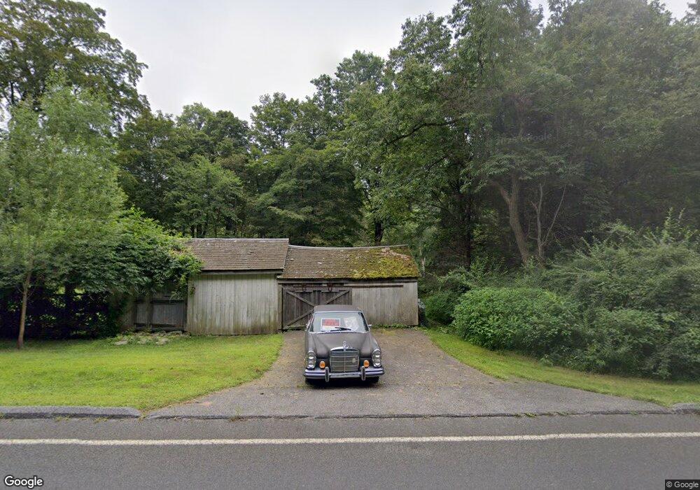
100 Route 39 N Sherman, CT 06784
Estimated Value: $580,000 - $820,517
3
Beds
5
Baths
3,545
Sq Ft
$188/Sq Ft
Est. Value
About This Home
This home is located at 100 Route 39 N, Sherman, CT 06784 and is currently estimated at $666,129, approximately $187 per square foot. 100 Route 39 N is a home located in Fairfield County with nearby schools including Sherman School.
Ownership History
Date
Name
Owned For
Owner Type
Purchase Details
Closed on
Dec 6, 2000
Sold by
Citifinancial Inc
Bought by
Neunzig James and Nunzig Kara
Current Estimated Value
Purchase Details
Closed on
Oct 22, 1996
Sold by
Anderson Tr Henry B
Bought by
Doofrio Holding Corp
Create a Home Valuation Report for This Property
The Home Valuation Report is an in-depth analysis detailing your home's value as well as a comparison with similar homes in the area
Home Values in the Area
Average Home Value in this Area
Purchase History
| Date | Buyer | Sale Price | Title Company |
|---|---|---|---|
| Neunzig James | $216,000 | -- | |
| Doofrio Holding Corp | $175,000 | -- |
Source: Public Records
Mortgage History
| Date | Status | Borrower | Loan Amount |
|---|---|---|---|
| Open | Doofrio Holding Corp | $150,000 | |
| Open | Doofrio Holding Corp | $306,500 |
Source: Public Records
Tax History
| Year | Tax Paid | Tax Assessment Tax Assessment Total Assessment is a certain percentage of the fair market value that is determined by local assessors to be the total taxable value of land and additions on the property. | Land | Improvement |
|---|---|---|---|---|
| 2025 | $6,883 | $412,900 | $76,000 | $336,900 |
| 2024 | $6,755 | $412,900 | $76,000 | $336,900 |
| 2023 | $7,358 | $412,900 | $76,000 | $336,900 |
| 2022 | $7,507 | $412,900 | $76,000 | $336,900 |
| 2021 | $7,696 | $412,900 | $76,000 | $336,900 |
| 2020 | $15,637 | $412,900 | $76,000 | $336,900 |
| 2019 | $8,180 | $412,900 | $76,000 | $336,900 |
| 2018 | $8,846 | $435,100 | $79,900 | $355,200 |
| 2017 | $8,846 | $435,100 | $79,900 | $355,200 |
| 2016 | $8,665 | $426,230 | $79,940 | $346,290 |
| 2015 | $8,542 | $426,230 | $79,940 | $346,290 |
| 2014 | $3,466 | $174,720 | $79,940 | $94,780 |
Source: Public Records
Map
Nearby Homes
- 105 Route 39 N
- 00 Anderson Rd
- 24 Colonial Ridge Dr
- 6 Hoyt Rd
- 31 Cedar Hill Rd
- 1 Hoyt Rd
- 612 Kent Rd
- 685 Kent Rd
- 11 Gelston Rd
- 2 Coburn Road W, She Coburn Rd W
- 1 Pond View Ln
- 165 Duell Hollow Rd
- 32 Long River Rd
- 60 Long River Rd
- 604 N Quaker Hill Rd
- 42 Long River Rd
- 5 Lyric Ln
- 1125 Old Quaker Hill Rd
- 34 Front of the Mountain Rd
- 20 Zacary Ln
Your Personal Tour Guide
Ask me questions while you tour the home.