100 Route 539 Whiting, NJ 08759
Manchester Township NeighborhoodEstimated Value: $393,000 - $498,000
4
Beds
2
Baths
3,204
Sq Ft
$140/Sq Ft
Est. Value
About This Home
This home is located at 100 Route 539, Whiting, NJ 08759 and is currently estimated at $448,548, approximately $139 per square foot. 100 Route 539 is a home with nearby schools including Manchester Township High School.
Ownership History
Date
Name
Owned For
Owner Type
Purchase Details
Closed on
Nov 3, 2023
Sold by
Payne Hattie Virginia
Bought by
Gillen Timothy and Robinson Harry
Current Estimated Value
Purchase Details
Closed on
Apr 3, 2019
Sold by
Moll George V
Bought by
Moll George V and Moll Tonia L
Purchase Details
Closed on
Mar 2, 1966
Bought by
Payne Hattie
Create a Home Valuation Report for This Property
The Home Valuation Report is an in-depth analysis detailing your home's value as well as a comparison with similar homes in the area
Home Values in the Area
Average Home Value in this Area
Purchase History
| Date | Buyer | Sale Price | Title Company |
|---|---|---|---|
| Gillen Timothy | $225,000 | Counsellors Title | |
| Gillen Timothy | $225,000 | Counsellors Title | |
| Moll George V | -- | None Available | |
| Payne Hattie | -- | -- |
Source: Public Records
Tax History Compared to Growth
Tax History
| Year | Tax Paid | Tax Assessment Tax Assessment Total Assessment is a certain percentage of the fair market value that is determined by local assessors to be the total taxable value of land and additions on the property. | Land | Improvement |
|---|---|---|---|---|
| 2025 | $5,575 | $379,500 | $156,000 | $223,500 |
| 2024 | $5,041 | $227,100 | $78,800 | $148,300 |
| 2023 | $4,780 | $227,100 | $78,800 | $148,300 |
| 2022 | $5,030 | $227,100 | $78,800 | $148,300 |
| 2021 | $4,671 | $227,100 | $78,800 | $148,300 |
| 2020 | $4,792 | $227,100 | $78,800 | $148,300 |
| 2019 | $5,951 | $232,000 | $83,800 | $148,200 |
| 2018 | $5,928 | $232,000 | $83,800 | $148,200 |
| 2017 | $5,951 | $232,000 | $83,800 | $148,200 |
| 2016 | $5,629 | $232,000 | $83,800 | $148,200 |
| 2015 | $5,520 | $232,000 | $83,800 | $148,200 |
| 2014 | $5,402 | $232,000 | $83,800 | $148,200 |
Source: Public Records
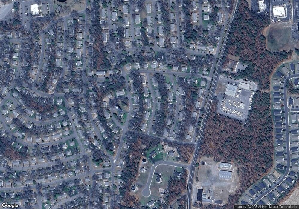
Map
Nearby Homes
- 19 Florida Dr Unit A
- 8 Maine Ave Unit A
- 4 B Maryland Ave Unit A
- 11 Hawaii Way Unit B
- 7 B Roosevelt City Rd Unit B
- 5 Indiana Way
- 3 A New Hampshire Ln Unit A
- 3 New Hampshire Ln Unit A
- 8 Hawaii Way Unit B
- 5 A Iowa Dr Unit A
- 100 Woodside Ln
- 12 California Dr Unit B
- 4 Minnesota Ave
- 4 California Dr Unit B
- 3A Minnesota Ave
- 8 Nevada Dr Unit B
- 17 Michigan Ave
- 1 Virginia Dr
- 10B Virginia Dr
- 11 Vermont Way
- 9 Oklahoma Way
- 5 Kentucky Way Unit A
- 7 Kentucky Way Unit B
- 7 Kentucky Way
- 10 New York Dr Unit B
- 6 Florida Ct
- 7 New York Dr
- 4 Mackenzie Ct
- 12 Washington Ln
- 12 Washington Ln Unit A
- 14 Washington Ln
- 8 Washington Ln
- 8 Washington Ln Unit A
- 14 Washington Ln Unit A
- 8 Washington Ln
- 16 Washington Ln
- 5 New York Dr Unit B
- 19 New York Dr
- 19 New York Dr
- 4 Kansas Dr