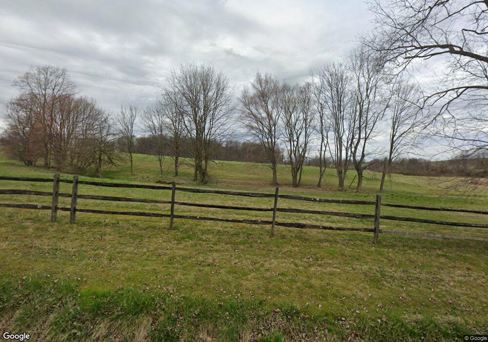
100 Ryan Rd West Grove, PA 19390
Estimated Value: $881,000 - $1,008,000
4
Beds
2
Baths
2,928
Sq Ft
$322/Sq Ft
Est. Value
About This Home
This home is located at 100 Ryan Rd, West Grove, PA 19390 and is currently estimated at $943,602, approximately $322 per square foot. 100 Ryan Rd is a home located in Chester County with nearby schools including Unionville Elementary School, Charles F. Patton Middle School, and Unionville High School.
Ownership History
Date
Name
Owned For
Owner Type
Purchase Details
Closed on
Feb 10, 2025
Sold by
Zimkowski Juliet Anne and Odonnell Juliet A
Bought by
Hares Land Llc
Current Estimated Value
Home Financials for this Owner
Home Financials are based on the most recent Mortgage that was taken out on this home.
Original Mortgage
$600,000
Outstanding Balance
$596,462
Interest Rate
6.95%
Mortgage Type
New Conventional
Estimated Equity
$347,140
Purchase Details
Closed on
Apr 17, 2008
Sold by
Odonnell Juliet A and Odonnell Thomas J
Bought by
Odonnell Juliet A and Odonnell Thomas J
Purchase Details
Closed on
Nov 28, 2007
Sold by
Mannello Edward P and Estate Of B Erin Mannello
Bought by
Odonnell Juliet A and Odonnell Thomas J
Create a Home Valuation Report for This Property
The Home Valuation Report is an in-depth analysis detailing your home's value as well as a comparison with similar homes in the area
Home Values in the Area
Average Home Value in this Area
Purchase History
| Date | Buyer | Sale Price | Title Company |
|---|---|---|---|
| Hares Land Llc | $895,000 | American Land Settlement Servi | |
| Odonnell Juliet A | -- | None Available | |
| Odonnell Juliet A | $73,183 | None Available |
Source: Public Records
Mortgage History
| Date | Status | Borrower | Loan Amount |
|---|---|---|---|
| Open | Hares Land Llc | $600,000 |
Source: Public Records
Tax History Compared to Growth
Tax History
| Year | Tax Paid | Tax Assessment Tax Assessment Total Assessment is a certain percentage of the fair market value that is determined by local assessors to be the total taxable value of land and additions on the property. | Land | Improvement |
|---|---|---|---|---|
| 2025 | $14,019 | $364,120 | $144,340 | $219,780 |
| 2024 | $14,019 | $364,120 | $144,340 | $219,780 |
| 2023 | $13,575 | $364,120 | $144,340 | $219,780 |
| 2022 | $13,294 | $364,120 | $144,340 | $219,780 |
| 2021 | $12,970 | $364,120 | $144,340 | $219,780 |
| 2020 | $12,937 | $364,120 | $144,340 | $219,780 |
| 2019 | $12,591 | $364,120 | $144,340 | $219,780 |
| 2018 | $12,554 | $364,120 | $144,340 | $219,780 |
| 2017 | $12,292 | $364,120 | $144,340 | $219,780 |
| 2016 | $1,444 | $364,120 | $144,340 | $219,780 |
| 2015 | $1,444 | $364,120 | $144,340 | $219,780 |
| 2014 | $1,444 | $364,120 | $144,340 | $219,780 |
Source: Public Records
Map
Nearby Homes
- 645 Coatesville Rd
- 1321 N Chatham Rd
- 1025 N Chatham Rd
- 534 Coatesville Rd
- 180 Springdell Rd
- 120 Funk Rd
- 150 Springdell Rd
- 2655 Gap Newport Pike
- 0 Wilson
- 380 Upland Rd
- 1019 Doe Run Rd
- 2295 Hilltop View Rd
- 113 Ronway Dr
- 227 Jackson Rd
- 804 N Mill Rd
- 2299 Hilltop View Rd
- 356 Fairview Rd
- 8 Williams Way
- 1269 Newark Rd
- 110 Frog Hollow Rd
- 209 Ryan Rd
- 300 Ryan Rd
- 273 Clonmell Upland Rd
- 275 Clonmell Upland Rd
- 249 Clonmell Upland Rd
- 257 Clonmell Upland Rd
- 253 Clonmell Upland Rd
- 233 Wilson Rd
- 278 Clonmell Upland Rd
- 245 Clonmell Upland Rd
- 246 Clonmell Upland Rd
- 238 Clonmell Upland Rd
- 236 Clonmell Upland Rd
- 241 Clonmell Upland Rd
- 607 Lambourne Rd
- 605 Lambourne Rd
- 321 Wilson Rd
- 612 Lambourne Rd
- 243 Clonmell Upland Rd
- 776 West Rd
