100 S 5th St Oakland, MD 21550
Estimated Value: $244,344 - $277,000
--
Bed
3
Baths
2,064
Sq Ft
$127/Sq Ft
Est. Value
About This Home
This home is located at 100 S 5th St, Oakland, MD 21550 and is currently estimated at $262,586, approximately $127 per square foot. 100 S 5th St is a home located in Garrett County with nearby schools including Broad Ford Elementary School, Southern Middle School, and Southern Garrett High School.
Ownership History
Date
Name
Owned For
Owner Type
Purchase Details
Closed on
Nov 10, 2009
Sold by
Unnewehr David and Unnewehr Ursula
Bought by
Unnewehr David and Unnewehr Ursula
Current Estimated Value
Purchase Details
Closed on
Dec 20, 2006
Sold by
Rice Brett A and Rice Ximena L
Bought by
Unnewehr David and Unnewehr Ursula
Purchase Details
Closed on
Dec 11, 2006
Sold by
Rice Brett A and Rice Ximena L
Bought by
Unnewehr David and Unnewehr Ursula
Purchase Details
Closed on
Mar 26, 2004
Sold by
Cartrette Gregory E and Cartrette Catherine A
Bought by
Rice Brett A and Rice Ximena L
Purchase Details
Closed on
May 14, 2001
Sold by
Garner Charlotte J
Bought by
Cartrette Gregory E and Cartrette Catherine A
Purchase Details
Closed on
Jun 4, 1998
Sold by
Bock Charlotte J
Bought by
Garner Charlotte J
Create a Home Valuation Report for This Property
The Home Valuation Report is an in-depth analysis detailing your home's value as well as a comparison with similar homes in the area
Home Values in the Area
Average Home Value in this Area
Purchase History
| Date | Buyer | Sale Price | Title Company |
|---|---|---|---|
| Unnewehr David | -- | -- | |
| Unnewehr David | $169,000 | -- | |
| Unnewehr David | $169,000 | -- | |
| Rice Brett A | $112,500 | -- | |
| Cartrette Gregory E | $78,700 | -- | |
| Garner Charlotte J | -- | -- |
Source: Public Records
Mortgage History
| Date | Status | Borrower | Loan Amount |
|---|---|---|---|
| Closed | Garner Charlotte J | -- |
Source: Public Records
Tax History Compared to Growth
Tax History
| Year | Tax Paid | Tax Assessment Tax Assessment Total Assessment is a certain percentage of the fair market value that is determined by local assessors to be the total taxable value of land and additions on the property. | Land | Improvement |
|---|---|---|---|---|
| 2025 | $3,044 | $189,800 | $14,900 | $174,900 |
| 2024 | $2,928 | $178,533 | $0 | $0 |
| 2023 | $2,743 | $167,267 | $0 | $0 |
| 2022 | $2,558 | $156,000 | $14,900 | $141,100 |
| 2021 | $2,484 | $151,467 | $0 | $0 |
| 2020 | $2,410 | $146,933 | $0 | $0 |
| 2019 | $2,335 | $142,400 | $14,900 | $127,500 |
| 2018 | $2,241 | $142,400 | $14,900 | $127,500 |
| 2017 | $2,241 | $142,400 | $0 | $0 |
| 2016 | -- | $145,300 | $0 | $0 |
| 2015 | -- | $145,300 | $0 | $0 |
| 2014 | -- | $145,300 | $0 | $0 |
Source: Public Records
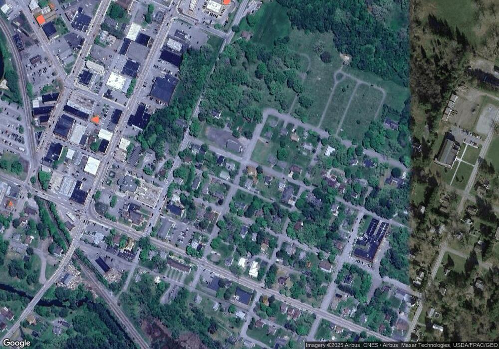
Map
Nearby Homes
- 511 E Green St
- 503 E Alder St
- 611 E Oak St
- 0 8th & Dennett Road St Unit MDGA2009886
- 531 S 3rd St
- 0 N Hammond St
- 315 Coolidge Ave
- 627 Hamill St
- 1056 Sunrise Dr
- 445 Dennett Rd
- 0 Weber Ct
- 163 Mitchell Dr
- 127 S Oakhall Dr
- 5202 Hutton Rd
- 11 Sunset Dr
- 163 Crestview Dr
- 723 Kings Ct
- 609 Southern Pines Dr
- 0 Crosby Dr Unit 64/65
- 0 Sam Snead Cir Unit 1 MDGA2010358