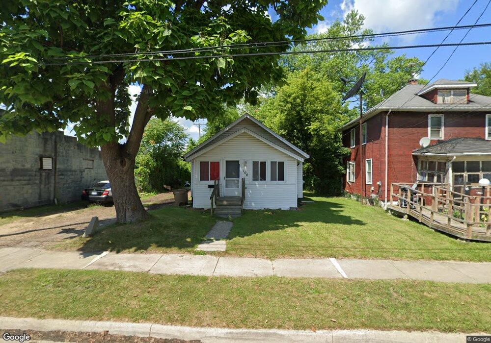
100 S Ardmore St Pontiac, MI 48342
Estimated Value: $89,470 - $133,000
2
Beds
1
Bath
862
Sq Ft
$126/Sq Ft
Est. Value
About This Home
This home is located at 100 S Ardmore St, Pontiac, MI 48342 and is currently estimated at $108,490, approximately $125 per square foot. 100 S Ardmore St is a home located in Oakland County with nearby schools including Walt Whitman Elementary School, Pontiac Middle School, and Pontiac High School.
Ownership History
Date
Name
Owned For
Owner Type
Purchase Details
Closed on
Mar 6, 2019
Sold by
Sina Fatjon
Bought by
Sina Homes Llc
Current Estimated Value
Purchase Details
Closed on
Jul 11, 2017
Sold by
Holt Kenneth R
Bought by
Sina Fatjon
Purchase Details
Closed on
Jun 30, 2009
Sold by
Secretary Of Housing & Urban Development
Bought by
Holt Kenneth R
Purchase Details
Closed on
Jun 12, 2008
Sold by
First Horizon Home Loans
Bought by
Secretary Of Housing & Urban Development
Purchase Details
Closed on
Dec 4, 2007
Sold by
Reese Mamie P
Bought by
First Horizon Home Loan Corp
Purchase Details
Closed on
Jan 29, 1999
Sold by
Harris Mary
Bought by
Pontiac Neighborhood Hsg Serv
Purchase Details
Closed on
Sep 12, 1997
Sold by
Mathews Barbara
Bought by
Neighborhood Services Inc
Create a Home Valuation Report for This Property
The Home Valuation Report is an in-depth analysis detailing your home's value as well as a comparison with similar homes in the area
Home Values in the Area
Average Home Value in this Area
Purchase History
| Date | Buyer | Sale Price | Title Company |
|---|---|---|---|
| Sina Homes Llc | -- | None Available | |
| Sina Fatjon | $18,000 | None Available | |
| Holt Kenneth R | $7,500 | None Available | |
| Secretary Of Housing & Urban Development | -- | None Available | |
| First Horizon Home Loan Corp | $54,714 | None Available | |
| Pontiac Neighborhood Hsg Serv | -- | -- | |
| Neighborhood Services Inc | $8,500 | -- |
Source: Public Records
Tax History Compared to Growth
Tax History
| Year | Tax Paid | Tax Assessment Tax Assessment Total Assessment is a certain percentage of the fair market value that is determined by local assessors to be the total taxable value of land and additions on the property. | Land | Improvement |
|---|---|---|---|---|
| 2024 | $806 | $25,910 | $0 | $0 |
| 2023 | $769 | $22,530 | $0 | $0 |
| 2022 | $1,387 | $19,600 | $0 | $0 |
| 2021 | $2,510 | $18,020 | $0 | $0 |
| 2020 | $700 | $15,930 | $0 | $0 |
| 2019 | $750 | $14,370 | $0 | $0 |
| 2018 | $717 | $12,220 | $0 | $0 |
| 2017 | $584 | $11,940 | $0 | $0 |
| 2016 | $612 | $11,760 | $0 | $0 |
| 2015 | -- | $11,020 | $0 | $0 |
| 2014 | -- | $9,820 | $0 | $0 |
| 2011 | -- | $13,520 | $0 | $0 |
Source: Public Records
Map
Nearby Homes
- 505 Auburn Ave
- 176 S Francis Ave
- 33 S Tasmania St
- 18 S Shirley St
- 511 E Pike St
- 28 S Marshall St
- 328 Whittemore St
- 46 N Anderson Ave
- 53 N Roselawn St
- 187 Wall St
- 55 N Roselawn St
- 57 N Roselawn St
- 70 N Roselawn St
- 389 Osmun St
- 97 N Roselawn St
- 291 Michigan Ave
- 397 S Jessie St
- 59 Bellevue St
- 54 Bellevue St
- 000 Wall St
- 101 S Sanford St
- 95 S Sanford St
- 93 S Sanford St
- 93 S Ardmore St
- 89 S Ardmore St
- 87 S Ardmore St
- 477 Auburn Ave
- 72 S Ardmore St
- 92 S Francis Ave Unit Bldg-Unit
- 92 S Francis Ave
- 108 S Sanford St
- 100 S Sanford St
- 77 S Sanford St
- 73 S Ardmore St
- 96 S Sanford St
- 86 S Francis Ave
- 78 S Francis Ave
- 69 S Sanford St
- 69 S Ardmore St
- ` S Francis