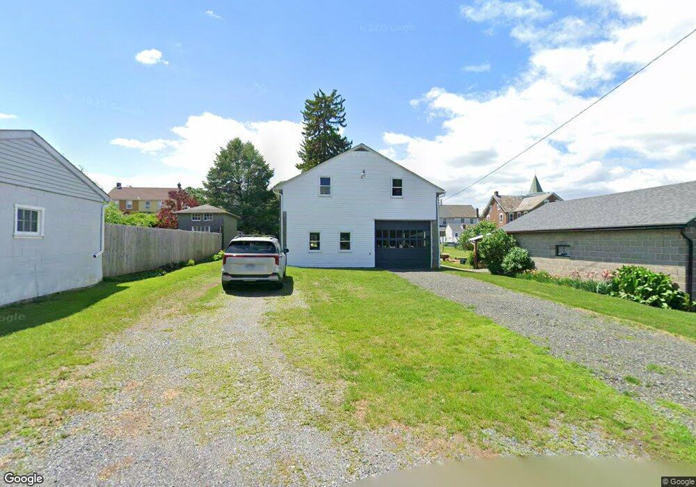
100 S Lea St MacUngie, PA 18062
Estimated Value: $186,042 - $301,000
--
Bed
--
Bath
--
Sq Ft
5,793
Sq Ft Lot
About This Home
This home is located at 100 S Lea St, MacUngie, PA 18062 and is currently estimated at $235,014. 100 S Lea St is a home with nearby schools including Macungie Elementary School, Eyer Middle School, and Emmaus High School.
Ownership History
Date
Name
Owned For
Owner Type
Purchase Details
Closed on
Apr 28, 2009
Sold by
Kramer Carolyn
Bought by
Bolasky Brenda M
Current Estimated Value
Purchase Details
Closed on
Jun 25, 1952
Bought by
Hutchinson Raymond P and Hutchinson Arlene
Create a Home Valuation Report for This Property
The Home Valuation Report is an in-depth analysis detailing your home's value as well as a comparison with similar homes in the area
Home Values in the Area
Average Home Value in this Area
Purchase History
| Date | Buyer | Sale Price | Title Company |
|---|---|---|---|
| Bolasky Brenda M | $35,000 | -- | |
| Hutchinson Raymond P | $8,500 | -- |
Source: Public Records
Tax History Compared to Growth
Tax History
| Year | Tax Paid | Tax Assessment Tax Assessment Total Assessment is a certain percentage of the fair market value that is determined by local assessors to be the total taxable value of land and additions on the property. | Land | Improvement |
|---|---|---|---|---|
| 2025 | $1,184 | $40,800 | $22,700 | $18,100 |
| 2024 | $1,151 | $40,800 | $22,700 | $18,100 |
| 2023 | $1,130 | $40,800 | $22,700 | $18,100 |
| 2022 | $1,107 | $40,800 | $18,100 | $22,700 |
| 2021 | $1,087 | $40,800 | $22,700 | $18,100 |
| 2020 | $1,078 | $40,800 | $22,700 | $18,100 |
| 2019 | $1,072 | $40,800 | $22,700 | $18,100 |
| 2018 | $1,050 | $40,800 | $22,700 | $18,100 |
| 2017 | $1,013 | $40,800 | $22,700 | $18,100 |
| 2016 | -- | $40,800 | $22,700 | $18,100 |
| 2015 | -- | $40,800 | $22,700 | $18,100 |
| 2014 | -- | $40,800 | $22,700 | $18,100 |
Source: Public Records
Map
Nearby Homes
- 38 Cedar St
- 211 S Church St
- 167 Aspen Ln
- 6405 Robin Rd
- 3610 Sweet Meadow Ct
- Lot 1 Mountain Rd
- 725 E Main St
- 830 E Main St
- 0 Mountain Lot 1
- 160 Lindfield Cir
- 160 160 Lindfield Cir
- 6832 Scenic View Dr
- 275 Ridings Cir
- 6709 Mountain Rd
- 255 Ridings Cir
- 204 Ridings Cir Unit F204
- 6903 Lincoln Dr
- 0 Clauss Hunt Knight Dr Unit 10 Units 763578
- 3814 Clay Dr
- 353 Abby Rd Unit Lot 40
- 101 S Church St
- 105 S Church St
- 119 S Church St
- 117 S Church St
- 111 S Church St
- 97 S Church St
- 71 S Lea St
- 95 S Church St
- 99 S Lea St
- 101 S Lea St
- 93 S Church St
- 89 S Lea St
- 103 S Lea St
- 91 S Church St
- 85 S Church St
- 85 S Lea St
- 121 S Church St
- 121 S Church (1st Floor) St
- 125 S Church St
- 75 S Lea St