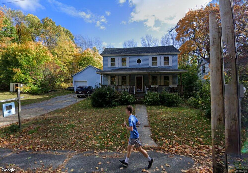
100 S Main St Ashburnham, MA 01430
Estimated Value: $286,000 - $372,000
4
Beds
1
Bath
1,800
Sq Ft
$181/Sq Ft
Est. Value
About This Home
This home is located at 100 S Main St, Ashburnham, MA 01430 and is currently estimated at $325,423, approximately $180 per square foot. 100 S Main St is a home located in Worcester County with nearby schools including Oakmont Regional High School, Wachusett Hills Christian School, and Cushing Academy.
Create a Home Valuation Report for This Property
The Home Valuation Report is an in-depth analysis detailing your home's value as well as a comparison with similar homes in the area
Home Values in the Area
Average Home Value in this Area
Tax History
| Year | Tax Paid | Tax Assessment Tax Assessment Total Assessment is a certain percentage of the fair market value that is determined by local assessors to be the total taxable value of land and additions on the property. | Land | Improvement |
|---|---|---|---|---|
| 2025 | $3,758 | $252,700 | $37,500 | $215,200 |
| 2024 | $3,607 | $229,000 | $37,500 | $191,500 |
| 2023 | $3,548 | $214,400 | $37,500 | $176,900 |
| 2022 | $3,863 | $204,600 | $36,500 | $168,100 |
| 2021 | $4,117 | $185,700 | $36,500 | $149,200 |
| 2020 | $6,990 | $185,700 | $36,500 | $149,200 |
| 2019 | $3,658 | $162,200 | $36,500 | $125,700 |
| 2018 | $3,627 | $155,000 | $34,800 | $120,200 |
| 2017 | $3,593 | $156,400 | $37,300 | $119,100 |
| 2016 | $3,499 | $153,800 | $36,500 | $117,300 |
| 2015 | $3,427 | $153,800 | $36,500 | $117,300 |
Source: Public Records
Map
Nearby Homes
Your Personal Tour Guide
Ask me questions while you tour the home.