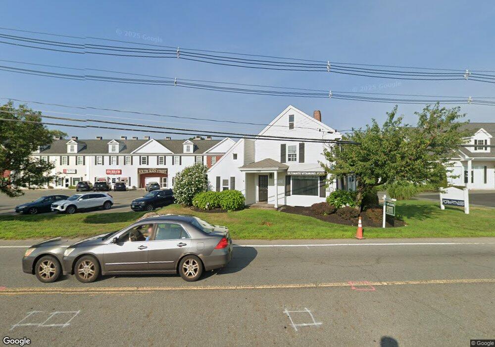
100 S Main St Unit E Middleton, MA 01949
Estimated Value: $278,122
8
Beds
1
Bath
1,954
Sq Ft
$142/Sq Ft
Est. Value
About This Home
This home is located at 100 S Main St Unit E, Middleton, MA 01949 and is currently estimated at $278,122, approximately $142 per square foot. 100 S Main St Unit E is a home located in Essex County with nearby schools including Howe-Manning Elementary School, Fuller Meadow Elementary School, and Masconomet Regional Middle School.
Ownership History
Date
Name
Owned For
Owner Type
Purchase Details
Closed on
Jan 15, 2014
Sold by
Lyf 3 Properties Llc
Bought by
382 Ocean Avenue Llc
Current Estimated Value
Purchase Details
Closed on
Jul 14, 2006
Sold by
Warren D Kelly T and Kelly Warren D
Bought by
Linn Prop Llc
Home Financials for this Owner
Home Financials are based on the most recent Mortgage that was taken out on this home.
Original Mortgage
$273,000
Interest Rate
6.71%
Mortgage Type
Commercial
Create a Home Valuation Report for This Property
The Home Valuation Report is an in-depth analysis detailing your home's value as well as a comparison with similar homes in the area
Home Values in the Area
Average Home Value in this Area
Purchase History
| Date | Buyer | Sale Price | Title Company |
|---|---|---|---|
| 382 Ocean Avenue Llc | $135,000 | -- | |
| 382 Ocean Avenue Llc | $135,000 | -- | |
| Linn Prop Llc | $344,927 | -- | |
| Linn Prop Llc | $344,927 | -- |
Source: Public Records
Mortgage History
| Date | Status | Borrower | Loan Amount |
|---|---|---|---|
| Previous Owner | Linn Prop Llc | $273,000 |
Source: Public Records
Tax History
| Year | Tax Paid | Tax Assessment Tax Assessment Total Assessment is a certain percentage of the fair market value that is determined by local assessors to be the total taxable value of land and additions on the property. | Land | Improvement |
|---|---|---|---|---|
| 2025 | $4,604 | $387,200 | $0 | $387,200 |
| 2024 | $4,422 | $375,100 | $0 | $375,100 |
| 2023 | $4,463 | $346,800 | $0 | $346,800 |
| 2022 | $4,638 | $350,000 | $0 | $350,000 |
| 2021 | $4,491 | $327,300 | $0 | $327,300 |
| 2020 | $4,499 | $330,300 | $0 | $330,300 |
| 2019 | $4,337 | $316,800 | $0 | $316,800 |
| 2018 | $4,230 | $303,000 | $0 | $303,000 |
| 2017 | $4,265 | $305,700 | $0 | $305,700 |
| 2016 | $4,142 | $298,200 | $0 | $298,200 |
| 2015 | $4,145 | $300,800 | $0 | $300,800 |
Source: Public Records
Map
Nearby Homes
- 5 Wennerberg Rd
- 15 Rowell Ln Unit 15
- 1 Mills Point Unit 1
- 47 Maple St Unit A
- 67 Fuller Pond Rd
- 6 Greystone Dr
- 20 Bellingham Ct
- 39 Central St
- 10 Oak St
- 6 White Ln
- 37 Peaslee Cir Unit 37
- 1 Couture Way
- 12 Couture Way
- 11 James Coffin Way Unit 11
- 19 Peachey Cir
- 35 East St
- 20 Mid Iron Dr Unit 20
- 40 Glen Dr
- 360 Andover St Unit 1310
- 1 Mill Terrace
- 100 S Main St
- 100 S Main St Unit A
- 100 S Main St Unit G
- 100 S Main St Unit K
- 96 S Main St
- 102 S Main St
- 104 S Main St
- 106 S Main St
- 108 S Main St Unit 1
- 108 S Main St
- 3 Wennerberg Rd
- 1 Wennerberg Rd
- 7 Wennerberg Rd
- 93 S Main St
- 9 Wennerberg Rd
- 2 Wennerberg Rd
- 11 Wennerberg Rd
- 4 Wennerberg Rd
- 13 Wennerberg Rd
- 8 Wennerberg Rd
Your Personal Tour Guide
Ask me questions while you tour the home.