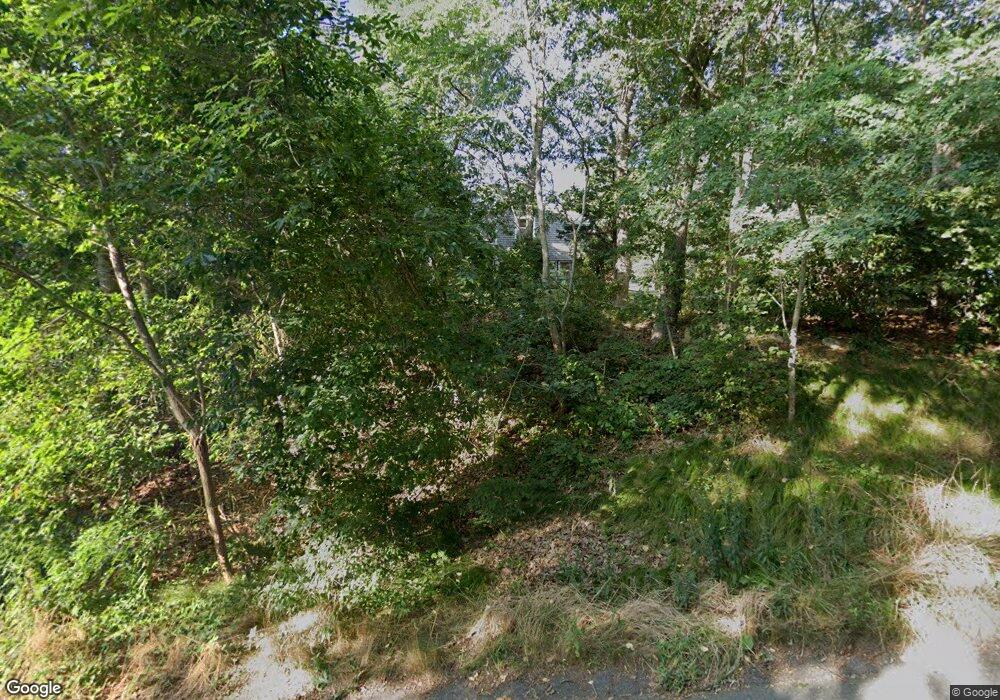
100 S Pond Dr Brewster, MA 02631
Estimated Value: $653,000 - $755,000
3
Beds
2
Baths
1,724
Sq Ft
$421/Sq Ft
Est. Value
About This Home
This home is located at 100 S Pond Dr, Brewster, MA 02631 and is currently estimated at $726,179, approximately $421 per square foot. 100 S Pond Dr is a home located in Barnstable County with nearby schools including Stony Brook Elementary School, Eddy Elementary School, and Nauset Regional Middle School.
Ownership History
Date
Name
Owned For
Owner Type
Purchase Details
Closed on
Jun 30, 2006
Sold by
Letoile Gene J and Letoile Nancy A
Bought by
Lincoln Barbara Tyler
Current Estimated Value
Home Financials for this Owner
Home Financials are based on the most recent Mortgage that was taken out on this home.
Original Mortgage
$203,500
Outstanding Balance
$120,345
Interest Rate
6.58%
Mortgage Type
Purchase Money Mortgage
Estimated Equity
$605,834
Purchase Details
Closed on
Sep 27, 1996
Sold by
Picard Beverly
Bought by
Letoile Gene J and Letoile Nancy A
Create a Home Valuation Report for This Property
The Home Valuation Report is an in-depth analysis detailing your home's value as well as a comparison with similar homes in the area
Home Values in the Area
Average Home Value in this Area
Purchase History
| Date | Buyer | Sale Price | Title Company |
|---|---|---|---|
| Lincoln Barbara Tyler | $374,000 | -- | |
| Letoile Gene J | $130,000 | -- |
Source: Public Records
Mortgage History
| Date | Status | Borrower | Loan Amount |
|---|---|---|---|
| Open | Lincoln Barbara Tyler | $203,500 | |
| Closed | Lincoln Barbara Tyler | $150,000 | |
| Previous Owner | Letoile Gene J | $125,000 | |
| Previous Owner | Letoile Gene J | $55,000 | |
| Previous Owner | Letoile Gene J | $124,000 |
Source: Public Records
Tax History
| Year | Tax Paid | Tax Assessment Tax Assessment Total Assessment is a certain percentage of the fair market value that is determined by local assessors to be the total taxable value of land and additions on the property. | Land | Improvement |
|---|---|---|---|---|
| 2025 | $4,192 | $609,300 | $281,800 | $327,500 |
| 2024 | $3,918 | $575,300 | $265,900 | $309,400 |
| 2023 | $3,623 | $518,300 | $237,300 | $281,000 |
| 2022 | $3,399 | $433,000 | $197,700 | $235,300 |
| 2021 | $3,114 | $362,900 | $171,900 | $191,000 |
| 2020 | $3,052 | $354,100 | $171,900 | $182,200 |
| 2019 | $2,946 | $343,400 | $165,300 | $178,100 |
| 2018 | $2,780 | $336,600 | $165,300 | $171,300 |
| 2017 | $2,656 | $316,600 | $165,300 | $151,300 |
| 2016 | $2,618 | $310,600 | $162,100 | $148,500 |
| 2015 | $2,527 | $305,900 | $158,900 | $147,000 |
Source: Public Records
Map
Nearby Homes
- 62 Fletcher Ln Unit G
- 81 Fletcher Ln Unit I
- 81 Fletcher Ln Unit C
- 81 Fletcher Ln Unit I
- 100 Fletcher Ln Unit G
- 101 Fletcher Ln Unit L
- 100 Fletcher Ln Unit C
- 101 Fletcher Ln Unit L
- 100 Fletcher Ln Unit G
- 82 Fletcher Ln Unit H
- 82 Fletcher Ln Unit H
- 102 Fletcher Ln Unit H
- 102 Fletcher Ln Unit H
- 104 Chilton Ln Unit 104
- 11 Chilton Ln Unit 11
- 287 Fletcher Ln Unit 287
- 0 Old Chatham Rd
- 398 Lund Farm Way
- 106 Eaton Ln Unit 106E
- 235 Old Chatham Rd
Your Personal Tour Guide
Ask me questions while you tour the home.