100 Springbrook Farm Cir Ball Ground, GA 30107
Estimated Value: $514,000 - $846,000
3
Beds
2
Baths
2,872
Sq Ft
$223/Sq Ft
Est. Value
About This Home
This home is located at 100 Springbrook Farm Cir, Ball Ground, GA 30107 and is currently estimated at $640,780, approximately $223 per square foot. 100 Springbrook Farm Cir is a home located in Cherokee County with nearby schools including Clayton Elementary School, Teasley Middle School, and Cherokee High School.
Ownership History
Date
Name
Owned For
Owner Type
Purchase Details
Closed on
Nov 6, 2020
Sold by
Goddard Spring Michelle
Bought by
Hurst Matthew D and Hurst Spring G
Current Estimated Value
Home Financials for this Owner
Home Financials are based on the most recent Mortgage that was taken out on this home.
Original Mortgage
$128,000
Outstanding Balance
$89,620
Interest Rate
2.8%
Mortgage Type
New Conventional
Estimated Equity
$551,160
Create a Home Valuation Report for This Property
The Home Valuation Report is an in-depth analysis detailing your home's value as well as a comparison with similar homes in the area
Home Values in the Area
Average Home Value in this Area
Purchase History
| Date | Buyer | Sale Price | Title Company |
|---|---|---|---|
| Hurst Matthew D | -- | -- |
Source: Public Records
Mortgage History
| Date | Status | Borrower | Loan Amount |
|---|---|---|---|
| Open | Hurst Matthew D | $128,000 |
Source: Public Records
Tax History Compared to Growth
Tax History
| Year | Tax Paid | Tax Assessment Tax Assessment Total Assessment is a certain percentage of the fair market value that is determined by local assessors to be the total taxable value of land and additions on the property. | Land | Improvement |
|---|---|---|---|---|
| 2024 | $4,712 | $205,000 | $22,960 | $182,040 |
| 2023 | $3,570 | $171,400 | $19,400 | $152,000 |
| 2022 | $3,294 | $135,760 | $16,520 | $119,240 |
| 2021 | $3,084 | $114,960 | $14,360 | $100,600 |
| 2020 | $2,803 | $102,760 | $14,360 | $88,400 |
| 2019 | $2,744 | $100,200 | $14,360 | $85,840 |
| 2018 | $2,643 | $92,440 | $11,320 | $81,120 |
| 2017 | $2,058 | $233,600 | $11,320 | $82,120 |
| 2016 | $2,058 | $176,700 | $11,320 | $59,360 |
| 2015 | $2,098 | $178,400 | $11,320 | $60,040 |
| 2014 | $2,030 | $172,300 | $10,560 | $58,360 |
Source: Public Records
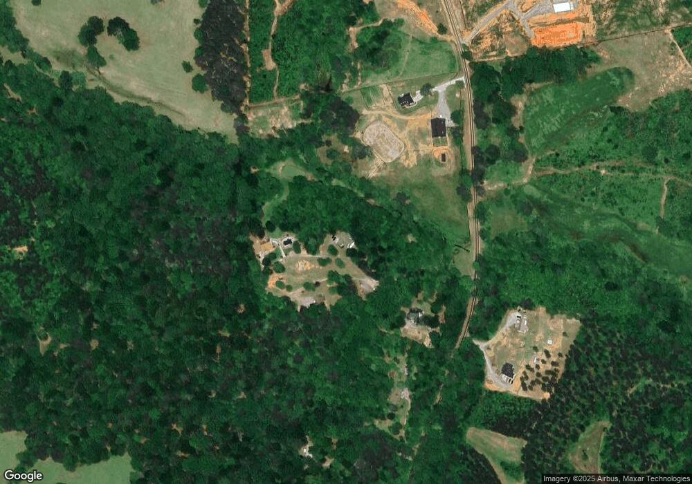
Map
Nearby Homes
- 3931 Upper Bethany Rd
- 0 Upper Bethany Rd Unit 10574949
- 0 Upper Bethany Rd Unit 7619918
- 4454 Damascus Rd
- 14430 Fincher Rd
- 2243 Damascus Rd
- 2197 Damascus Rd
- 2226 Upper Burris Rd
- 2200 Upper Burris Rd
- 873 Pleasant Union Rd
- 733 Pleasant Union Rd
- 1 Henderson Mountain Rd
- 1089 Damascus Rd
- 0 Waleska Hwy Unit 7670246
- 171 Bluff Creek Ln
- 548 Stoneledge Rd
- 760 Stoneledge Rd
- 1010 Martin Ln
- 946 Essic Rd
- 160 Springbrook Farm Cir
- 150 Springbrook Farm Cir
- 101 Springbrook Farm Cir
- 3337 Upper Bethany Rd
- 2969 Upper Bethany Rd
- 2 Whitfield Ln
- 0000 Whitfield Ln
- 000 Whitfield Ln
- 0 Whitfield Ln Unit 3 8298654
- 0 Whitfield Ln Unit 2 8298643
- 0 Whitfield Ln Unit 7642314
- 0 Whitfield Ln Unit 5517869
- 0 Whitfield Ln Unit 1 7632190
- 0 Whitfield Ln Unit 7642303
- 0 Whitfield Ln Unit 7595590
- 0 Whitfield Ln Unit 8330919
- 11 Whitfield Ln
- 3 Whitfield Ln
- 3812 Upper Bethany Rd
- 00 Whitfield Ln