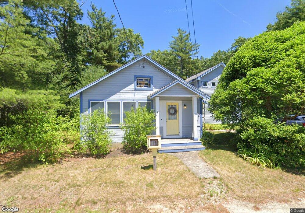
100 Squantum Ave Monponsett, MA 02350
Estimated Value: $456,000 - $576,000
3
Beds
3
Baths
2,124
Sq Ft
$255/Sq Ft
Est. Value
About This Home
This home is located at 100 Squantum Ave, Monponsett, MA 02350 and is currently estimated at $541,760, approximately $255 per square foot. 100 Squantum Ave is a home located in Plymouth County.
Ownership History
Date
Name
Owned For
Owner Type
Purchase Details
Closed on
Feb 28, 2003
Sold by
Deprosse Stevan and Deprosse Patricia M
Bought by
Deprosse Stevan and Deprosse Patricia M
Current Estimated Value
Home Financials for this Owner
Home Financials are based on the most recent Mortgage that was taken out on this home.
Original Mortgage
$260,000
Interest Rate
5.98%
Mortgage Type
Purchase Money Mortgage
Purchase Details
Closed on
Aug 24, 2001
Sold by
Collins Frances J Est
Bought by
Deprosse Stevan
Create a Home Valuation Report for This Property
The Home Valuation Report is an in-depth analysis detailing your home's value as well as a comparison with similar homes in the area
Home Values in the Area
Average Home Value in this Area
Purchase History
| Date | Buyer | Sale Price | Title Company |
|---|---|---|---|
| Deprosse Stevan | -- | -- | |
| Deprosse Stevan | $130,000 | -- |
Source: Public Records
Mortgage History
| Date | Status | Borrower | Loan Amount |
|---|---|---|---|
| Open | Deprosse Stevan | $285,857 | |
| Closed | Deprosse Stevan | $50,000 | |
| Closed | Deprosse Stevan | $260,000 |
Source: Public Records
Tax History Compared to Growth
Tax History
| Year | Tax Paid | Tax Assessment Tax Assessment Total Assessment is a certain percentage of the fair market value that is determined by local assessors to be the total taxable value of land and additions on the property. | Land | Improvement |
|---|---|---|---|---|
| 2025 | $5,644 | $421,800 | $143,500 | $278,300 |
| 2024 | $5,534 | $413,600 | $139,400 | $274,200 |
| 2023 | $5,422 | $382,400 | $139,400 | $243,000 |
| 2022 | $5,251 | $348,000 | $126,700 | $221,300 |
| 2021 | $4,766 | $315,600 | $121,800 | $193,800 |
| 2020 | $4,456 | $291,800 | $117,700 | $174,100 |
| 2019 | $4,148 | $267,100 | $108,200 | $158,900 |
| 2018 | $4,105 | $259,300 | $104,100 | $155,200 |
| 2017 | $3,880 | $242,800 | $92,500 | $150,300 |
| 2016 | $3,874 | $234,100 | $92,500 | $141,600 |
| 2015 | $3,676 | $230,900 | $92,500 | $138,400 |
Source: Public Records
Map
Nearby Homes
- 48 Squantum Ave
- 58 Squantum Ave
- 57 Squantum Ave
- 32 Squantum Ave
- 40 Squantum Ave
- 41 Squantum Ave
- 53 Squantum Ave
- 111 Snow St
- 123 Snow St
- 131 Snow St
- 11 Squantum Ave
- 22 Squantum Ave
- 36 Milford St
- 52 Milford St Unit 1
- 52 Milford St
- 39 Spofford Ave
- 89 Charles St
- 56 Milford St
- 20 Milford St
- 30 Milford St