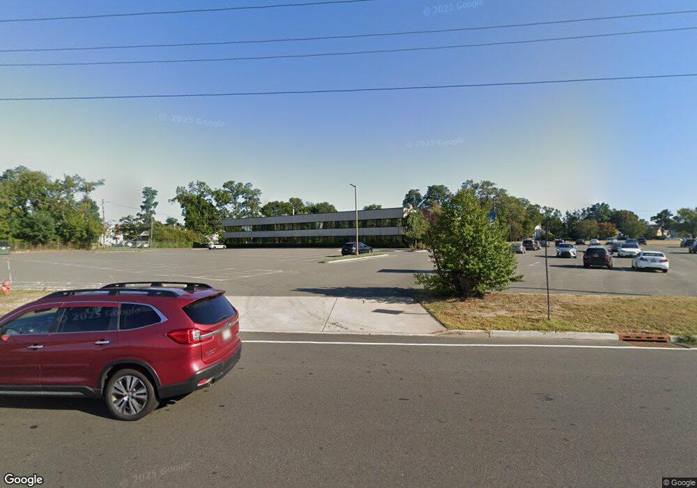
100 State Route 36 Unit 2J West Long Branch, NJ 07764
Estimated Value: $194,082
--
Bed
--
Bath
--
Sq Ft
4.26
Acres
About This Home
This home is located at 100 State Route 36 Unit 2J, West Long Branch, NJ 07764 and is currently estimated at $194,082. 100 State Route 36 Unit 2J is a home located in Monmouth County with nearby schools including Betty McElmon Elementary School, Frank Antonides School, and Shore Regional High School.
Ownership History
Date
Name
Owned For
Owner Type
Purchase Details
Closed on
May 30, 2023
Sold by
Beckerman Daniel and Beckerman Elizabeth Demsky
Bought by
Viko Properties Llc
Current Estimated Value
Home Financials for this Owner
Home Financials are based on the most recent Mortgage that was taken out on this home.
Original Mortgage
$129,000
Interest Rate
6.79%
Mortgage Type
New Conventional
Create a Home Valuation Report for This Property
The Home Valuation Report is an in-depth analysis detailing your home's value as well as a comparison with similar homes in the area
Home Values in the Area
Average Home Value in this Area
Purchase History
Date | Buyer | Sale Price | Title Company |
---|---|---|---|
Viko Properties Llc | $172,000 | Old Republic Title |
Source: Public Records
Mortgage History
Date | Status | Borrower | Loan Amount |
---|---|---|---|
Previous Owner | Viko Properties Llc | $129,000 | |
Previous Owner | Sangavi Limited Liability Company | $331,600 |
Source: Public Records
Tax History Compared to Growth
Tax History
Year | Tax Paid | Tax Assessment Tax Assessment Total Assessment is a certain percentage of the fair market value that is determined by local assessors to be the total taxable value of land and additions on the property. | Land | Improvement |
---|---|---|---|---|
2024 | $2,943 | $225,800 | $145,000 | $80,800 |
2023 | $2,943 | $210,700 | $131,500 | $79,200 |
2022 | $2,793 | $188,100 | $108,900 | $79,200 |
2021 | $3,046 | $144,500 | $63,800 | $80,700 |
2020 | $3,093 | $150,500 | $69,800 | $80,700 |
2019 | $3,046 | $149,000 | $69,800 | $79,200 |
2018 | $2,548 | $120,400 | $41,200 | $79,200 |
2017 | $2,540 | $114,600 | $40,100 | $74,500 |
2016 | $2,452 | $112,900 | $33,700 | $79,200 |
2015 | $2,456 | $112,900 | $33,700 | $79,200 |
2014 | $2,632 | $112,900 | $33,700 | $79,200 |
Source: Public Records
Map
Nearby Homes
- 28 Homestead Ave
- 32 Linden Ave
- 63 Locust Ave
- 31 Sherman Ave
- 6 Eunice Terrace
- 10 Victorian Ct
- 185 Monmouth Rd
- 80 Orchard Rd
- 4 Sherman Ave
- 689 Broadway
- 53 Arlene Dr
- 689 Morford Ave
- 65 Oakwood Ave
- 113 Parker Rd
- 31 Howland Place
- 115 Carriage Ln
- 15 Jackson St
- 628 Irving Place
- 631 Irving Place
- 3 Parker Rd
- 100 State Route 36 Unit 1B
- 100 State Route 36 Unit 2GF
- 100 State Route 36 Unit 1FGH
- 100 State Route 36 Unit K & M
- 100 State Route 36 Unit 1L1K
- 100 State Route 36 Unit 1F
- 100 State Route 36 Unit 2G
- 100 State Route 36 Unit 2f
- 100 State Route 36 Unit 2J
- 100 State Route 36
- 100 Highway 36 Unit 1FGH
- 100 Highway 36 Unit 2GF
- 42 Laurel St
- 38 Laurel St
- 1 Slocum Ct
- 000 State Route 36
- 34 Laurel St
- 37 Laurel St
- 1035 Broadway
- 1031 Broadway