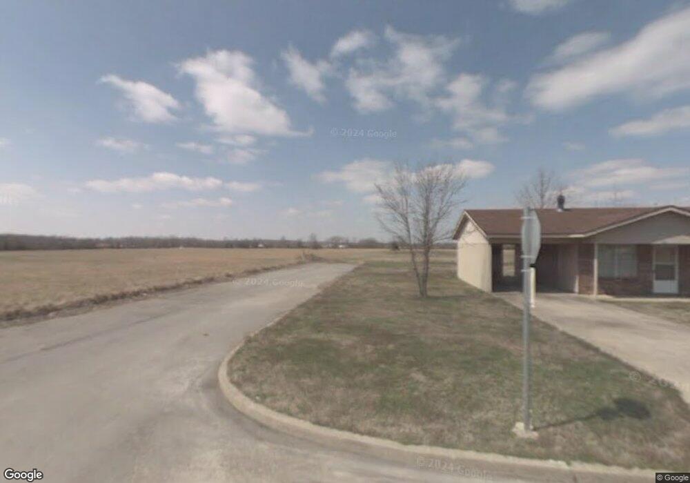
100 W Markham Locust Grove, OK 74352
Estimated Value: $312,000 - $383,000
3
Beds
3
Baths
1,975
Sq Ft
$178/Sq Ft
Est. Value
About This Home
This home is located at 100 W Markham, Locust Grove, OK 74352 and is currently estimated at $352,398, approximately $178 per square foot. 100 W Markham is a home located in Mayes County with nearby schools including Locust Grove Early Lrning Center, Locust Grove Upper Elementary School, and Locust Grove Middle School.
Ownership History
Date
Name
Owned For
Owner Type
Purchase Details
Closed on
Nov 14, 2007
Sold by
Cagle Charles A and Cagle Sandra K
Bought by
Kunkel Eric M and Zhang Yi
Current Estimated Value
Purchase Details
Closed on
Mar 1, 2002
Sold by
Rymel Charles and Rymel Cressie
Bought by
Cagle Charles and Cagle Sandra
Purchase Details
Closed on
Feb 23, 2000
Sold by
Hibbard Thurman Clay
Bought by
Rymel Charle
Create a Home Valuation Report for This Property
The Home Valuation Report is an in-depth analysis detailing your home's value as well as a comparison with similar homes in the area
Home Values in the Area
Average Home Value in this Area
Purchase History
| Date | Buyer | Sale Price | Title Company |
|---|---|---|---|
| Kunkel Eric M | $38,000 | Alba Abstract & Title Co | |
| Cagle Charles | $215,000 | -- | |
| Rymel Charle | $165,000 | -- |
Source: Public Records
Tax History Compared to Growth
Tax History
| Year | Tax Paid | Tax Assessment Tax Assessment Total Assessment is a certain percentage of the fair market value that is determined by local assessors to be the total taxable value of land and additions on the property. | Land | Improvement |
|---|---|---|---|---|
| 2025 | $3,101 | $35,010 | $14,644 | $20,366 |
| 2023 | $3,101 | $31,755 | $13,610 | $18,145 |
| 2022 | $2,729 | $30,243 | $13,003 | $17,240 |
| 2021 | $2,767 | $30,032 | $13,003 | $17,029 |
| 2020 | $2,675 | $28,602 | $13,003 | $15,599 |
| 2019 | $3,166 | $33,825 | $14,950 | $18,875 |
| 2018 | $3,230 | $33,825 | $14,950 | $18,875 |
| 2017 | $3,232 | $33,825 | $14,950 | $18,875 |
| 2016 | $3,156 | $33,825 | $14,950 | $18,875 |
| 2015 | $3,257 | $33,825 | $14,950 | $18,875 |
| 2014 | $3,257 | $33,825 | $14,950 | $18,875 |
Source: Public Records
Map
Nearby Homes
- 282 Dove Rd
- 298 Dove Rd
- 338 Dove Rd
- 301 Dove Rd
- 350 Dove Rd
- 258 Dove Rd
- 355 Dove Rd
- 255 Dove Rd
- 364 Dove Rd
- 225 Dove Rd
- 240 Dove Rd
- 0 Dove Rd Unit 224951
- 0 Dove Rd Unit 710982
- 0 Dove Rd Unit 310759
- 0 Dove Rd Unit 710174
- 0 Dove Rd Unit 904226
- 0 Dove Rd Unit 1303137
- 0 Dove Rd Unit 1942430
- 0 Dove Rd Unit 2023723
- 181 Dove Rd