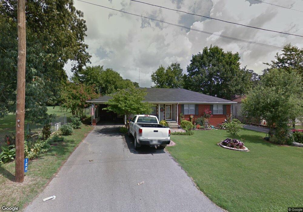
100 W Morrow St Batesville, AR 72501
Estimated Value: $107,000 - $167,000
--
Bed
2
Baths
1,599
Sq Ft
$83/Sq Ft
Est. Value
About This Home
This home is located at 100 W Morrow St, Batesville, AR 72501 and is currently estimated at $132,001, approximately $82 per square foot. 100 W Morrow St is a home located in Independence County with nearby schools including Batesville Junior High School, Batesville High School, and Hope Lutheran School.
Ownership History
Date
Name
Owned For
Owner Type
Purchase Details
Closed on
May 31, 2018
Sold by
Woods James Roberts
Bought by
Pankey Joyce A
Current Estimated Value
Home Financials for this Owner
Home Financials are based on the most recent Mortgage that was taken out on this home.
Original Mortgage
$126,815
Interest Rate
4.4%
Mortgage Type
Future Advance Clause Open End Mortgage
Purchase Details
Closed on
Nov 22, 2005
Sold by
O'Neal Debbie K
Bought by
O'Neal Floyd
Create a Home Valuation Report for This Property
The Home Valuation Report is an in-depth analysis detailing your home's value as well as a comparison with similar homes in the area
Home Values in the Area
Average Home Value in this Area
Purchase History
| Date | Buyer | Sale Price | Title Company |
|---|---|---|---|
| Pankey Joyce A | $123,000 | None Available | |
| O'Neal Floyd | $68,000 | -- | |
| O'Neal Floyd | $68,000 | -- |
Source: Public Records
Mortgage History
| Date | Status | Borrower | Loan Amount |
|---|---|---|---|
| Closed | Pankey Joyce A | $126,815 |
Source: Public Records
Tax History Compared to Growth
Tax History
| Year | Tax Paid | Tax Assessment Tax Assessment Total Assessment is a certain percentage of the fair market value that is determined by local assessors to be the total taxable value of land and additions on the property. | Land | Improvement |
|---|---|---|---|---|
| 2024 | $834 | $15,640 | $1,720 | $13,920 |
| 2023 | $834 | $15,640 | $1,720 | $13,920 |
| 2022 | $834 | $15,640 | $1,720 | $13,920 |
| 2021 | $834 | $15,640 | $1,720 | $13,920 |
| 2020 | $834 | $15,640 | $1,720 | $13,920 |
| 2019 | $791 | $14,820 | $1,490 | $13,330 |
| 2018 | $383 | $14,820 | $1,490 | $13,330 |
| 2017 | $375 | $14,820 | $1,490 | $13,330 |
| 2016 | $375 | $14,820 | $1,490 | $13,330 |
| 2015 | $369 | $14,820 | $1,490 | $13,330 |
| 2014 | $375 | $13,741 | $1,208 | $12,533 |
Source: Public Records
Map
Nearby Homes
- 1819 N State St
- 405 Hawkins St
- 814 Bayou St
- 490 Gregg Dr
- 325 Broadwater Ln
- 480 Hawkins St
- 32 & 33 Joe Baker Rd
- 253 N 8th St
- 181 S Central Ave
- 781 E Main St
- 551 E Boswell St
- 928 E Main St
- 476 E Boswell St
- 411 S Central Ave
- 909 E Boswell St
- 3565 Denny Cir
- 915 Bethesda Rd
- 1423 Bates St
- 40 Sutton Ln
- 120 20th St
- 100 W Morrow St
- 1525 N Central Ave
- 101 W Morrow St
- 1500 N State St
- 1520 N State St
- 1540 N State St
- 1520 N Central Ave
- 1490 N State St
- 1560 N State St
- 1470 N Central Ave
- 1526 N Central Ave
- 120 W Rich St
- 1575 N Central Ave
- 123 Rich Realty
- 123 Rich Realty
- 123 W Rich St
- 123 W Rich St
- 123 W Rich St
- 1580 N State St
- 1466 N State St