100 W Point Rd Rocky Point, NC 28457
Estimated Value: $412,886 - $499,000
3
Beds
2
Baths
2,092
Sq Ft
$219/Sq Ft
Est. Value
About This Home
This home is located at 100 W Point Rd, Rocky Point, NC 28457 and is currently estimated at $457,722, approximately $218 per square foot. 100 W Point Rd is a home located in Pender County with nearby schools including Cape Fear Elementary School, Cape Fear Middle School, and Heide Trask High School.
Ownership History
Date
Name
Owned For
Owner Type
Purchase Details
Closed on
May 20, 2025
Sold by
International Paper Company and Ip Farms Inc
Bought by
Brp Minerals Llc
Current Estimated Value
Purchase Details
Closed on
May 27, 2016
Sold by
Mills Charles Roland and Davies Bonnie Jean
Bought by
Leigh Mark T and Leigh Mary J
Home Financials for this Owner
Home Financials are based on the most recent Mortgage that was taken out on this home.
Original Mortgage
$226,575
Interest Rate
3.58%
Mortgage Type
New Conventional
Purchase Details
Closed on
Feb 23, 2006
Sold by
Mills Charles Roland
Bought by
Mills Charles Roland and Davies Bonnie Jean
Create a Home Valuation Report for This Property
The Home Valuation Report is an in-depth analysis detailing your home's value as well as a comparison with similar homes in the area
Home Values in the Area
Average Home Value in this Area
Purchase History
| Date | Buyer | Sale Price | Title Company |
|---|---|---|---|
| Brp Minerals Llc | -- | None Listed On Document | |
| Brp Minerals Llc | -- | None Listed On Document | |
| Leigh Mark T | $238,500 | None Available | |
| Mills Charles Roland | -- | -- |
Source: Public Records
Mortgage History
| Date | Status | Borrower | Loan Amount |
|---|---|---|---|
| Previous Owner | Leigh Mark T | $226,575 |
Source: Public Records
Tax History Compared to Growth
Tax History
| Year | Tax Paid | Tax Assessment Tax Assessment Total Assessment is a certain percentage of the fair market value that is determined by local assessors to be the total taxable value of land and additions on the property. | Land | Improvement |
|---|---|---|---|---|
| 2024 | $2,503 | $247,625 | $56,395 | $191,230 |
| 2023 | $2,294 | $247,625 | $56,395 | $191,230 |
| 2022 | $2,294 | $247,625 | $56,395 | $191,230 |
| 2021 | $2,294 | $247,625 | $56,395 | $191,230 |
| 2020 | $2,153 | $247,625 | $56,395 | $191,230 |
| 2019 | $2,153 | $247,625 | $56,395 | $191,230 |
| 2018 | $2,209 | $242,604 | $50,000 | $192,604 |
| 2017 | $2,209 | $242,604 | $50,000 | $192,604 |
| 2016 | $2,294 | $242,604 | $50,000 | $192,604 |
| 2015 | $2,259 | $242,604 | $50,000 | $192,604 |
| 2014 | $1,773 | $242,604 | $50,000 | $192,604 |
| 2013 | -- | $242,604 | $50,000 | $192,604 |
| 2012 | -- | $242,604 | $50,000 | $192,604 |
Source: Public Records
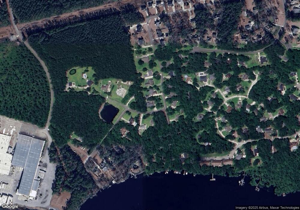
Map
Nearby Homes
- 110 E Pointe Rd
- 44 Merganser Loop
- 101 E Pointe Rd
- 102 Autumn Ct
- 104 Spring Chase Ln
- 106 Summit Ridge Dr
- 0 Carver Dr
- Lot 3 Carver Dr
- Lot 2 Carver Dr
- 232 Hearthside Dr
- 286 Gooseneck Rd E
- 153 Bellhammon Forest Dr
- 710 Ridgecrest Ln
- 190 Bellhammon Forest Dr
- 130 Deepwoods Ridge
- 117 Highway & Oaks Plantation
- 202 Forest Island Point
- 87 Strut Way
- 111 Dreyton Hall Ct
- 360 Bronze Dr
- 100 W Pointe Rd
- 220 East Pointe Rd
- 110 W Point Rd
- 200 East Pointe Rd
- 241 E Pointe Rd
- 105 W Pointe Rd
- 0 E Pointe Rd
- 241 E Point Rd
- 221 E Point Rd
- 201 E Pointe Rd
- 49 W Pointe Rd
- 0 W Pointe Rd
- 1 W Pointe Rd
- 16 W Pointe Rd
- 201 E Point Rd
- 109 W Point Rd
- 101 Southpoint Rd
- 109 W Pointe Rd
- 180 E Point Rd
- 271 E Point Rd