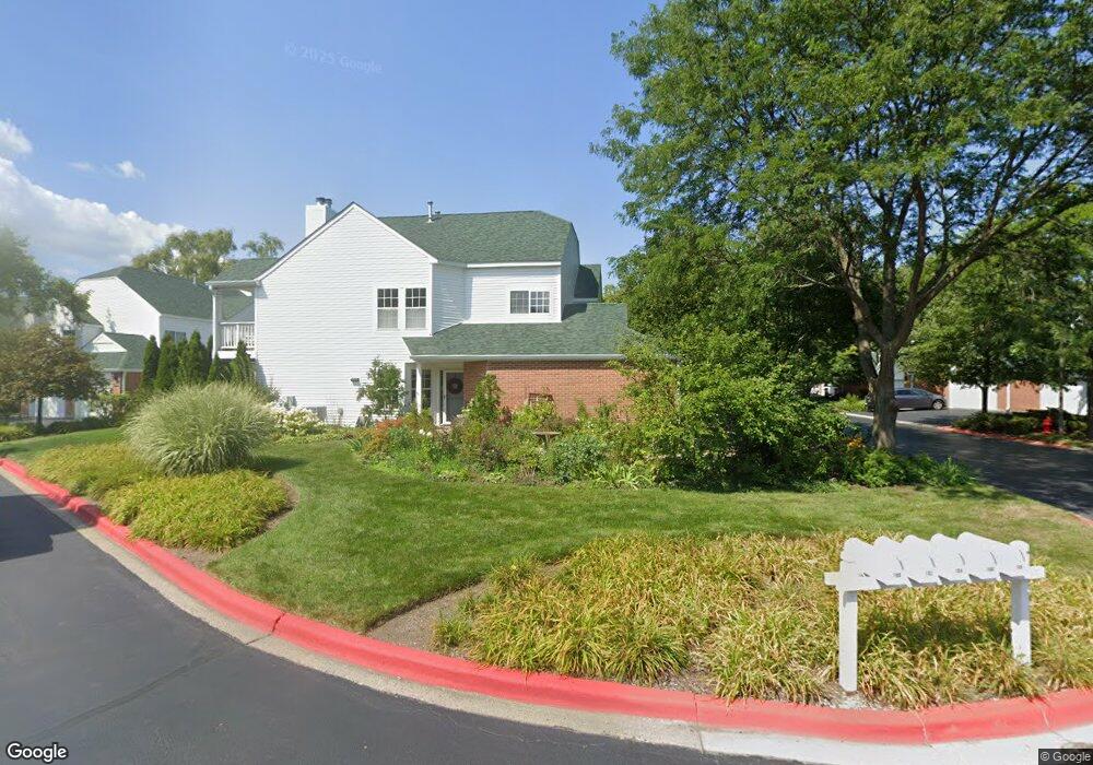
100 Welwyn St Unit 13A Lake Bluff, IL 60044
Southwest Waukegan NeighborhoodEstimated Value: $261,632 - $301,000
2
Beds
2
Baths
1,278
Sq Ft
$222/Sq Ft
Est. Value
About This Home
This home is located at 100 Welwyn St Unit 13A, Lake Bluff, IL 60044 and is currently estimated at $283,658, approximately $221 per square foot. 100 Welwyn St Unit 13A is a home located in Lake County with nearby schools including Oak Grove Elementary School, Libertyville High School, and LEARN 10 Charter School.
Ownership History
Date
Name
Owned For
Owner Type
Purchase Details
Closed on
Oct 2, 2025
Sold by
Land Trust Company and Trust Number 8002367225
Bought by
Nalbant Demet
Current Estimated Value
Purchase Details
Closed on
Feb 26, 2015
Sold by
Bommarito Marco
Bought by
Chicago Title Land Trust Company
Purchase Details
Closed on
Apr 20, 1998
Sold by
Pilz Fredric
Bought by
Marco Home Builders Inc
Create a Home Valuation Report for This Property
The Home Valuation Report is an in-depth analysis detailing your home's value as well as a comparison with similar homes in the area
Home Values in the Area
Average Home Value in this Area
Purchase History
| Date | Buyer | Sale Price | Title Company |
|---|---|---|---|
| Nalbant Demet | $265,000 | Chicago Title | |
| Chicago Title Land Trust Company | -- | None Available | |
| Marco Home Builders Inc | $138,000 | 1St American Title |
Source: Public Records
Tax History Compared to Growth
Tax History
| Year | Tax Paid | Tax Assessment Tax Assessment Total Assessment is a certain percentage of the fair market value that is determined by local assessors to be the total taxable value of land and additions on the property. | Land | Improvement |
|---|---|---|---|---|
| 2024 | $8,125 | $70,029 | $20,031 | $49,998 |
| 2023 | $7,918 | $64,590 | $18,475 | $46,115 |
| 2022 | $7,918 | $62,986 | $17,757 | $45,229 |
| 2021 | $7,657 | $61,630 | $17,375 | $44,255 |
| 2020 | $7,459 | $60,594 | $17,083 | $43,511 |
| 2019 | $7,444 | $60,018 | $16,921 | $43,097 |
| 2018 | $7,105 | $53,769 | $19,880 | $33,889 |
| 2017 | $7,016 | $52,071 | $19,252 | $32,819 |
| 2016 | $6,723 | $49,371 | $18,254 | $31,117 |
| 2015 | $6,538 | $46,145 | $17,061 | $29,084 |
| 2014 | $6,089 | $46,638 | $16,824 | $29,814 |
| 2012 | $6,223 | $47,043 | $16,970 | $30,073 |
Source: Public Records
Map
Nearby Homes
- 106 Woodbury Ln Unit 41A
- 114 Woodbury Ln Unit 42C
- 12900 W Heiden Cir Unit 4310
- 3275 Stratford Ct Unit 1A
- 13000 W Heiden Cir Unit 3105
- 13200 W Heiden Cir Unit 2411
- 717 Burris Ave
- 2910 Frontenac St Unit 107
- 1123 Quassey Ave
- 1208 Quassey Ave
- 1004 Jenkisson Ave
- 555 Basil Rd
- 1019 Rockland Rd
- 2020 Knollwood Rd
- 11 Shagbark Rd
- 511 Rockland Rd
- 1010 Green Bay Rd
- 308 Signe Ct
- 307 Forest View Dr
- 1625 Churchill Ct
- 108 Welwyn St Unit 13E
- 104 Welwyn St Unit 13D
- 106 Welwyn St Unit 13C
- 102 Welwyn St Unit 13B
- 108 Welwyn St Unit 108
- 118 Hampton Blvd Unit 12B
- 116 Hampton Blvd Unit 12A
- 107 Welwyn St Unit 15C
- 109 Welwyn St Unit 15D
- 109 Welwyn St Unit 109
- 133 Hemstead St Unit 38E
- 111 Welwyn St Unit 15E
- 114 Hampton Blvd Unit 12D
- 141 Hemstead St Unit 38A
- 139 Hemstead St Unit 38B
- 137 Hemstead St
- 137 Hemstead St Unit 38D
- 135 Hemstead St Unit 38C
- 112 Hampton Blvd Unit 12C
- 110 Hampton Blvd Unit 12E