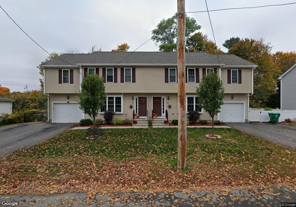
100 West St Unit A Clinton, MA 01510
Estimated Value: $371,000 - $454,000
3
Beds
3
Baths
1,554
Sq Ft
$272/Sq Ft
Est. Value
About This Home
This home is located at 100 West St Unit A, Clinton, MA 01510 and is currently estimated at $423,186, approximately $272 per square foot. 100 West St Unit A is a home located in Worcester County with nearby schools including Clinton Elementary School, Clinton Senior High School, and Clinton Middle School.
Ownership History
Date
Name
Owned For
Owner Type
Purchase Details
Closed on
Mar 25, 2016
Sold by
Mcn Realty Llc
Bought by
Whittaker Wendy
Current Estimated Value
Home Financials for this Owner
Home Financials are based on the most recent Mortgage that was taken out on this home.
Original Mortgage
$237,405
Outstanding Balance
$188,418
Interest Rate
3.65%
Mortgage Type
New Conventional
Estimated Equity
$234,768
Create a Home Valuation Report for This Property
The Home Valuation Report is an in-depth analysis detailing your home's value as well as a comparison with similar homes in the area
Home Values in the Area
Average Home Value in this Area
Purchase History
| Date | Buyer | Sale Price | Title Company |
|---|---|---|---|
| Whittaker Wendy | $249,900 | -- |
Source: Public Records
Mortgage History
| Date | Status | Borrower | Loan Amount |
|---|---|---|---|
| Open | Whittaker Wendy | $237,405 |
Source: Public Records
Tax History
| Year | Tax Paid | Tax Assessment Tax Assessment Total Assessment is a certain percentage of the fair market value that is determined by local assessors to be the total taxable value of land and additions on the property. | Land | Improvement |
|---|---|---|---|---|
| 2025 | $4,289 | $322,500 | $0 | $322,500 |
| 2024 | $4,238 | $322,500 | $0 | $322,500 |
| 2023 | $4,101 | $306,700 | $0 | $306,700 |
| 2022 | $4,269 | $286,300 | $0 | $286,300 |
| 2021 | $4,250 | $266,600 | $0 | $266,600 |
| 2020 | $4,130 | $266,600 | $0 | $266,600 |
| 2019 | $3,927 | $246,500 | $0 | $246,500 |
| 2018 | $4,040 | $237,900 | $0 | $237,900 |
| 2017 | $4,296 | $243,100 | $0 | $243,100 |
Source: Public Records
Map
Nearby Homes
- 57 Clark St
- 719 Main St
- 508 High St
- 25 Pearl St
- 861 Main St
- 201 Stone St Unit 203
- 201-203 Stone St
- 55 Sterling St Unit 306
- 55 Sterling St Unit 312
- 55 Sterling St Unit 314
- 55 Sterling St Unit 212
- 25 Greeley St Unit 2
- 155 Cedar St
- 101 Woodruff Rd
- 115117 Mechanic St Unit 4
- 115117 Mechanic St Unit 3
- 51 Rigby St
- 300 Greeley St
- 355 Main St
- 0 Parker Rd
- 100 West St
- 100 West St Unit B
- 98 West St
- 110 West St Unit A
- 110 West St
- 88 West St Unit 90
- 105 West St
- 99 West St
- 95 West St
- 78 West St Unit 80
- 78-80 West St
- 130 West St Unit 136
- 91 West St
- 444 High St
- 459C Brook St Unit 459C
- 459A Brook St Unit 459A
- 459 Brook St
- 459 Brook St Unit C
- 459 Brook St Unit A
- 459 Brook St Unit B
Your Personal Tour Guide
Ask me questions while you tour the home.