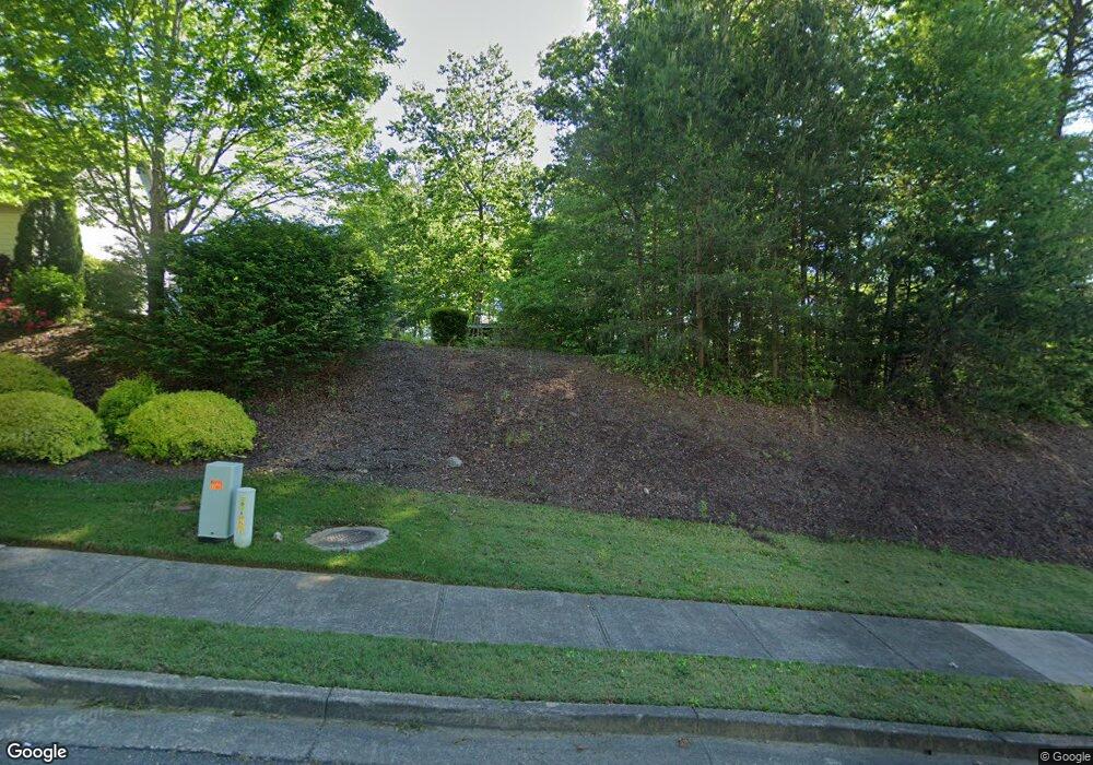
100 William Ct Ball Ground, GA 30107
Estimated Value: $113,124
Studio
--
Bath
--
Sq Ft
20,038
Sq Ft Lot
About This Home
This home is located at 100 William Ct, Ball Ground, GA 30107 and is currently estimated at $113,124. 100 William Ct is a home located in Cherokee County with nearby schools including Ball Ground Elementary School, Creekland Middle School, and Creekview High School.
Ownership History
Date
Name
Owned For
Owner Type
Purchase Details
Closed on
Nov 13, 2007
Sold by
Preston Properties & Const Llc
Bought by
Poole Scott T and Poole Jennifer L
Current Estimated Value
Purchase Details
Closed on
Dec 29, 2004
Sold by
Psp Dev Llc
Bought by
Preston Properties & Const Llc
Home Financials for this Owner
Home Financials are based on the most recent Mortgage that was taken out on this home.
Original Mortgage
$126,000
Interest Rate
5.63%
Create a Home Valuation Report for This Property
The Home Valuation Report is an in-depth analysis detailing your home's value as well as a comparison with similar homes in the area
Home Values in the Area
Average Home Value in this Area
Purchase History
| Date | Buyer | Sale Price | Title Company |
|---|---|---|---|
| Poole Scott T | $50,000 | -- | |
| Preston Properties & Const Llc | $126,000 | -- |
Source: Public Records
Mortgage History
| Date | Status | Borrower | Loan Amount |
|---|---|---|---|
| Previous Owner | Preston Properties & Const Llc | $126,000 |
Source: Public Records
Tax History
| Year | Tax Paid | Tax Assessment Tax Assessment Total Assessment is a certain percentage of the fair market value that is determined by local assessors to be the total taxable value of land and additions on the property. | Land | Improvement |
|---|---|---|---|---|
| 2025 | $1,080 | $36,000 | $36,000 | -- |
| 2024 | $1,077 | $36,000 | $36,000 | $0 |
| 2023 | $1,077 | $36,000 | $36,000 | $0 |
| 2022 | $1,003 | $33,200 | $33,200 | $0 |
| 2021 | $726 | $22,000 | $22,000 | $0 |
| 2020 | $735 | $22,000 | $22,000 | $0 |
| 2019 | $729 | $22,000 | $22,000 | $0 |
| 2018 | $739 | $22,000 | $22,000 | $0 |
| 2017 | $497 | $37,000 | $14,800 | $0 |
| 2016 | $504 | $37,000 | $14,800 | $0 |
| 2015 | $111 | $8,000 | $3,200 | $0 |
| 2014 | $111 | $8,000 | $3,200 | $0 |
Source: Public Records
Map
Nearby Homes
- 326 Reese Way
- 338 Reese Way
- 738 Groover St
- 323 Reese Way
- 553 Groover St
- 533 Groover St
- 569 Groover St
- 565 Groover St
- 285 Reese Way
- 557 Groover St
- 549 Groover St
- 128 Tanya Way
- 318 Cottage Ct
- 236 S Mountain Brooke Way
- 111 Tanya Way
- 107 Tanya Way
- 104 Tanya Way
- 508 Old Canton Rd
- 105 Tanya Way
- 502 Old Canton Rd
- 0 Williams Tract C Ln Unit 10185550
- 0 Williams Tract C Ln Unit 7237323
- 102 William Ct
- 285 Old Dawsonville Rd
- 104 William Ct
- 560 Old Dawsonville Rd
- 584 Elliston Place
- 604 Elliston Place
- 620 Elliston Place
- 616 Elliston Place
- 612 Elliston Place
- 624 Elliston Place
- 619 Old Dawsonville Rd
- 103 William Ct
- 103 William Ct Unit 103
- 101 William Ct
- 103 William Ct
- 106 William Ct
- 608 Elliston Place
- 0 William Ct Unit 3023030
Your Personal Tour Guide
Ask me questions while you tour the home.