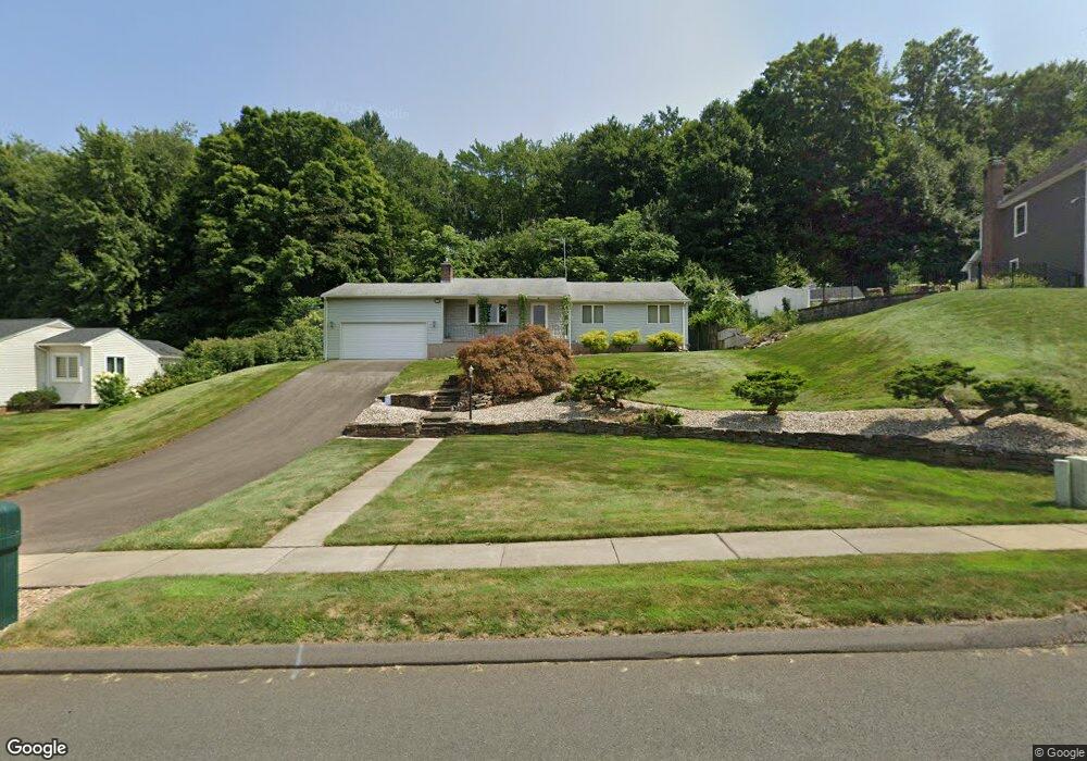
100 Wynding Brook Dr Rocky Hill, CT 06067
Estimated Value: $463,796 - $522,000
3
Beds
3
Baths
1,296
Sq Ft
$375/Sq Ft
Est. Value
About This Home
This home is located at 100 Wynding Brook Dr, Rocky Hill, CT 06067 and is currently estimated at $485,699, approximately $374 per square foot. 100 Wynding Brook Dr is a home located in Hartford County with nearby schools including Albert D. Griswold Middle School and Rocky Hill High School.
Ownership History
Date
Name
Owned For
Owner Type
Purchase Details
Closed on
Sep 4, 1990
Sold by
Forkell Stanley
Bought by
Sullivan Michael
Current Estimated Value
Home Financials for this Owner
Home Financials are based on the most recent Mortgage that was taken out on this home.
Original Mortgage
$92,000
Interest Rate
9.85%
Mortgage Type
Purchase Money Mortgage
Create a Home Valuation Report for This Property
The Home Valuation Report is an in-depth analysis detailing your home's value as well as a comparison with similar homes in the area
Home Values in the Area
Average Home Value in this Area
Purchase History
| Date | Buyer | Sale Price | Title Company |
|---|---|---|---|
| Sullivan Michael | $173,000 | -- |
Source: Public Records
Mortgage History
| Date | Status | Borrower | Loan Amount |
|---|---|---|---|
| Closed | Sullivan Michael | $75,000 | |
| Closed | Sullivan Michael | $110,000 | |
| Closed | Sullivan Michael | $92,000 | |
| Previous Owner | Sullivan Michael | $105,000 |
Source: Public Records
Tax History Compared to Growth
Tax History
| Year | Tax Paid | Tax Assessment Tax Assessment Total Assessment is a certain percentage of the fair market value that is determined by local assessors to be the total taxable value of land and additions on the property. | Land | Improvement |
|---|---|---|---|---|
| 2025 | $7,803 | $258,020 | $96,460 | $161,560 |
| 2024 | $7,526 | $258,020 | $96,460 | $161,560 |
| 2023 | $6,867 | $191,170 | $92,330 | $98,840 |
| 2022 | $6,599 | $191,170 | $92,330 | $98,840 |
| 2021 | $6,519 | $191,170 | $92,330 | $98,840 |
| 2020 | $6,423 | $191,170 | $92,330 | $98,840 |
| 2019 | $6,213 | $191,170 | $92,330 | $98,840 |
| 2018 | $6,006 | $185,360 | $83,020 | $102,340 |
| 2017 | $5,857 | $185,360 | $83,020 | $102,340 |
| 2016 | $5,746 | $185,360 | $83,020 | $102,340 |
| 2015 | $5,505 | $185,360 | $83,020 | $102,340 |
| 2014 | $5,505 | $185,360 | $83,020 | $102,340 |
Source: Public Records
Map
Nearby Homes
- 170 Highland St
- 15 Murphy Dr
- 45 Pequot Dr Unit 45
- 26 Stevens Place Unit 26
- 103 the Arbors
- 404 The Mews Unit 404
- 306 Gray Fox Ln
- 124 Speno Ridge
- 55 Greenview Dr Unit 55
- 370 Hayes Rd
- 221 Westmeadow Rd
- 36 Copper Beech Dr
- 7 Pearl Ln
- 165 Falcon Ridge Rd
- 24 Pine Meadow Rd
- 180 Hayes Rd
- 409 Carlton Ln Unit 409
- 44 Trotter Ln
- 52 Sandy Dr
- 45 Sandy Dr
- 110 Wynding Brook Dr
- 90 Wynding Brook Dr
- 113 Wynding Brook Dr
- 103 Wynding Brook Dr
- 93 Wynding Brook Dr
- 123 Wynding Brook Dr
- 80 Wynding Brook Dr
- 83 Wynding Brook Dr
- 120 Wynding Brook Dr
- 70 Wynding Brook Dr
- 73 Wynding Brook Dr
- 157 Sunset Ridge
- 145 Sunset Ridge
- 169 Sunset Ridge
- 194 Highland St
- 133 Sunset Ridge
- 63 Wynding Brook Dr
- 181 Sunset Ridge
- 60 Wynding Brook Dr
- 130 Wynding Brook Dr