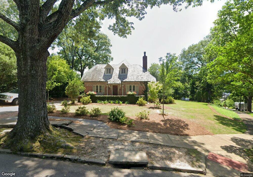
1000 43rd St S Birmingham, AL 35222
Forest Park NeighborhoodEstimated Value: $772,000 - $1,212,459
4
Beds
4
Baths
4,603
Sq Ft
$222/Sq Ft
Est. Value
About This Home
This home is located at 1000 43rd St S, Birmingham, AL 35222 and is currently estimated at $1,020,365, approximately $221 per square foot. 1000 43rd St S is a home located in Jefferson County with nearby schools including Avondale Elementary School, W.E. Putnam Middle School Magnet, and Woodlawn High School-Magnet.
Ownership History
Date
Name
Owned For
Owner Type
Purchase Details
Closed on
Jul 28, 2006
Sold by
Debono Yves and Waldrum Helen
Bought by
Schultz Steven and Kornmeier Patricia K
Current Estimated Value
Purchase Details
Closed on
Oct 25, 2000
Sold by
Parker Michael J
Bought by
Debono Yves and Waldrum Helen
Home Financials for this Owner
Home Financials are based on the most recent Mortgage that was taken out on this home.
Original Mortgage
$232,000
Interest Rate
7.91%
Purchase Details
Closed on
Jan 14, 1998
Sold by
Brasher Clifford H
Bought by
Parker Michael J
Create a Home Valuation Report for This Property
The Home Valuation Report is an in-depth analysis detailing your home's value as well as a comparison with similar homes in the area
Home Values in the Area
Average Home Value in this Area
Purchase History
| Date | Buyer | Sale Price | Title Company |
|---|---|---|---|
| Schultz Steven | $699,900 | None Available | |
| Debono Yves | $425,000 | -- | |
| Parker Michael J | -- | -- |
Source: Public Records
Mortgage History
| Date | Status | Borrower | Loan Amount |
|---|---|---|---|
| Previous Owner | Debono Yves | $232,000 |
Source: Public Records
Tax History Compared to Growth
Tax History
| Year | Tax Paid | Tax Assessment Tax Assessment Total Assessment is a certain percentage of the fair market value that is determined by local assessors to be the total taxable value of land and additions on the property. | Land | Improvement |
|---|---|---|---|---|
| 2024 | $6,231 | $86,940 | -- | -- |
| 2022 | $6,639 | $92,560 | $36,500 | $56,060 |
| 2021 | $5,847 | $81,640 | $36,500 | $45,140 |
| 2020 | $5,689 | $79,460 | $36,500 | $42,960 |
| 2019 | $5,215 | $72,920 | $0 | $0 |
| 2018 | $5,045 | $70,580 | $0 | $0 |
| 2017 | $4,977 | $69,640 | $0 | $0 |
| 2016 | $4,867 | $68,120 | $0 | $0 |
| 2015 | $4,867 | $68,120 | $0 | $0 |
| 2014 | $4,342 | $65,240 | $0 | $0 |
| 2013 | $4,342 | $65,240 | $0 | $0 |
Source: Public Records
Map
Nearby Homes
- 1040 42nd St S Unit B
- 1016 42nd St S Unit A
- 1015 43rd Place S
- 849 42nd St S
- 4155 Cliff Rd S
- 844 42nd St S
- 924 Conroy Rd
- 925 Conroy Rd
- 4350 Cliff Rd S
- 801 Conroy Rd
- 3803 Glenwood Ave
- 917 38th St S
- 745 Linwood Rd
- 3529 Cliff Rd S
- 3809 12th Ct S Unit F3
- 3809 12th Ct S Unit B3
- 4603 Clairmont Ave S
- 4309 Linwood Dr
- 4168 Highlands Cir
- 712 43rd St S
- 1006 43rd St S
- 1010 43rd St S
- 1017 42nd St S
- 1015 42nd St S
- 1019 42nd St S
- 1007 42nd St S
- 1025 42nd St S
- 1014 43rd St S
- 1001 42nd St S
- 4218 10th Ave S
- 4300 10th Ave S
- 1027 42nd St S
- 1020 43rd St S
- 4320 10th Ave S
- 1031 42nd St S
- 4301 10th Ave S
- 1022 43rd St S
- 937 42nd St S
- 4221 Glenwood Ave
- 4217 Glenwood Ave