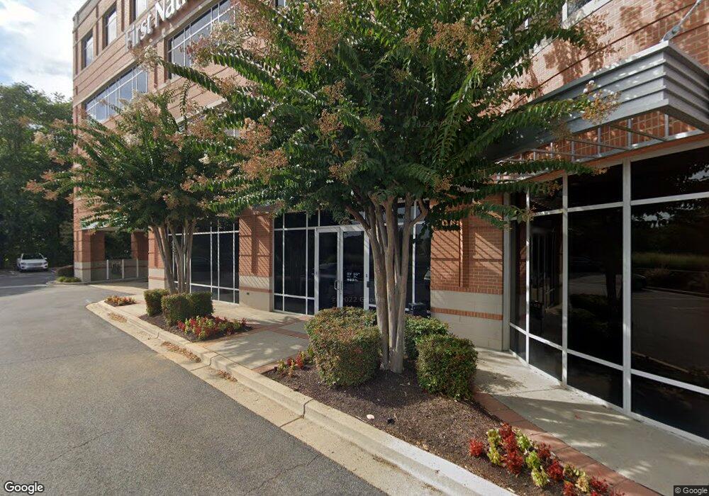
1000 Bestgate Rd Annapolis, MD 21401
Parole Neighborhood
--
Bed
--
Bath
21,457
Sq Ft
2.54
Acres
About This Home
This home is located at 1000 Bestgate Rd, Annapolis, MD 21401. 1000 Bestgate Rd is a home located in Anne Arundel County with nearby schools including Rolling Knolls Elementary School, Wiley H. Bates Middle School, and Annapolis High School.
Ownership History
Date
Name
Owned For
Owner Type
Purchase Details
Closed on
Jul 6, 2015
Sold by
First National Bank Pennsylvania
Bought by
1000 Bestgate Road Llc
Home Financials for this Owner
Home Financials are based on the most recent Mortgage that was taken out on this home.
Original Mortgage
$6,075,000
Outstanding Balance
$4,761,621
Interest Rate
4.01%
Mortgage Type
Purchase Money Mortgage
Purchase Details
Closed on
Aug 13, 1998
Sold by
Sfakiyanudis Dimitri
Bought by
Annapolis National Bank
Purchase Details
Closed on
Jan 18, 1996
Sold by
Places Inc
Bought by
Sfakiyanudis Dimitri
Create a Home Valuation Report for This Property
The Home Valuation Report is an in-depth analysis detailing your home's value as well as a comparison with similar homes in the area
Home Values in the Area
Average Home Value in this Area
Purchase History
| Date | Buyer | Sale Price | Title Company |
|---|---|---|---|
| 1000 Bestgate Road Llc | $6,750,000 | Mid Maryland Title Co Inc | |
| Annapolis National Bank | $1,300,000 | -- | |
| Sfakiyanudis Dimitri | $175,000 | -- |
Source: Public Records
Mortgage History
| Date | Status | Borrower | Loan Amount |
|---|---|---|---|
| Open | 1000 Bestgate Road Llc | $6,075,000 |
Source: Public Records
Tax History Compared to Growth
Tax History
| Year | Tax Paid | Tax Assessment Tax Assessment Total Assessment is a certain percentage of the fair market value that is determined by local assessors to be the total taxable value of land and additions on the property. | Land | Improvement |
|---|---|---|---|---|
| 2025 | $78,755 | $7,070,800 | $2,794,000 | $4,276,800 |
| 2024 | $78,755 | $7,070,800 | $2,794,000 | $4,276,800 |
| 2023 | $78,477 | $7,070,800 | $2,794,000 | $4,276,800 |
| 2022 | $79,187 | $7,462,500 | $2,794,000 | $4,668,500 |
| 2021 | $79,021 | $7,451,033 | $0 | $0 |
| 2020 | $79,021 | $7,439,567 | $0 | $0 |
| 2019 | $78,975 | $7,428,100 | $2,438,400 | $4,989,700 |
| 2018 | $75,321 | $7,428,100 | $2,438,400 | $4,989,700 |
| 2017 | $76,815 | $7,428,100 | $0 | $0 |
| 2016 | $1,558 | $9,104,500 | $0 | $0 |
| 2015 | $1,558 | $7,873,767 | $0 | $0 |
| 2014 | -- | $6,643,033 | $0 | $0 |
Source: Public Records
Map
Nearby Homes
- 2175 Glencrest Cir
- 2175 Glencrest Circle - Taft Model
- 40 Oak Ct
- 2175
- 39 Oak Ct
- 524 Ridge Rd
- 622 Sean Dr
- 1974 Scotts Crossing Way
- 2155 Scotts Crossing Ct Unit 303
- 629 Admiral Dr Unit H8-305
- 1915 Towne Centre Blvd Unit 606
- 1915 Towne Centre Blvd Unit 1001
- 1915 Towne Centre Blvd Unit 502
- 1915 Towne Centre Blvd Unit 301
- 1915 Towne Centre Blvd Unit 807
- 1915 Towne Centre Blvd Unit 405 & 406
- 1915 Towne Centre Blvd Unit 1210
- 1915 Towne Centre Blvd Unit 1004
- 1915 Towne Centre Blvd Unit 707
- 1915 Towne Centre Blvd Unit 402
- 920 Bestgate Rd
- 2061 Generals Hwy
- 2059 Generals Hwy
- 2065 Generals Hwy
- 900 Bestgate Rd
- 2082 Generals Hwy
- 2084 Generals Hwy
- 2078 Generals Hwy
- 2076 Generals Hwy
- 2086 Generals Hwy
- 2543 Housley Rd
- 2032 Industrial Dr
- 2545 Housley Rd
- 2547 Housley Rd
- 2062 Generals Hwy
- 2020 Industrial Dr
- 2553 Housley Rd
- 2549 Housley Rd
- 2005 Trout Rd
- 2027 Industrial Dr