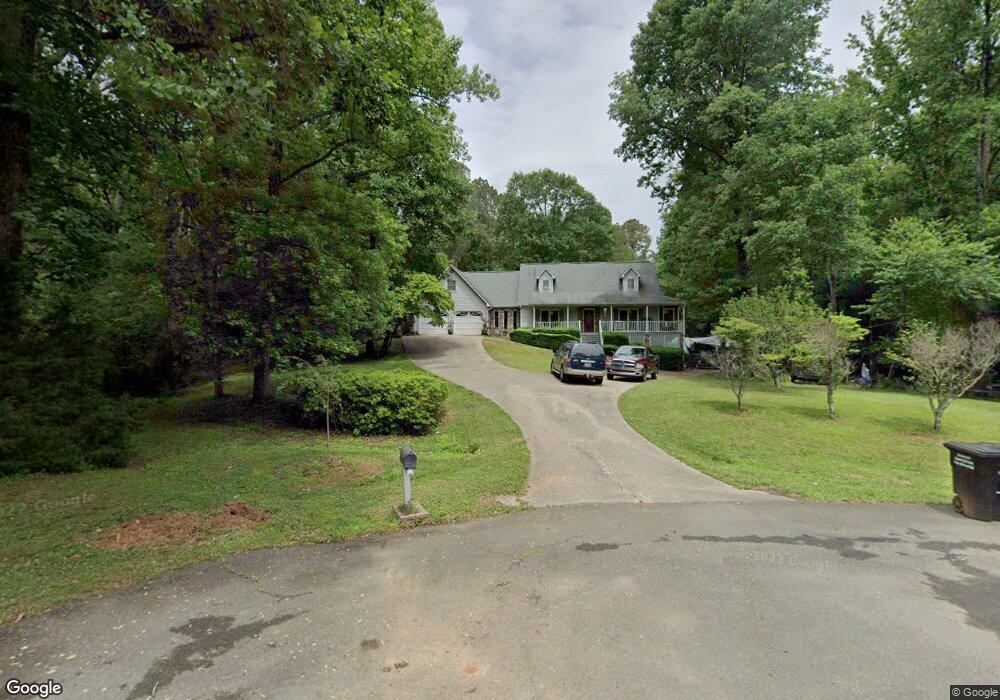
1000 Branch Rd Canton, GA 30115
Union Hill NeighborhoodEstimated Value: $469,000 - $650,000
4
Beds
3
Baths
1,732
Sq Ft
$333/Sq Ft
Est. Value
About This Home
This home is located at 1000 Branch Rd, Canton, GA 30115 and is currently estimated at $576,578, approximately $332 per square foot. 1000 Branch Rd is a home located in Cherokee County with nearby schools including Avery Elementary School, Creekland Middle School, and Creekview High School.
Ownership History
Date
Name
Owned For
Owner Type
Purchase Details
Closed on
Jun 11, 2010
Sold by
Richardson David V
Bought by
Sprouse Erick C and Padgett Sherry
Current Estimated Value
Home Financials for this Owner
Home Financials are based on the most recent Mortgage that was taken out on this home.
Original Mortgage
$225,216
Outstanding Balance
$149,331
Interest Rate
4.91%
Mortgage Type
FHA
Estimated Equity
$427,247
Purchase Details
Closed on
Aug 31, 1995
Sold by
Buckholts Harold Kimmerlee
Bought by
Richardson David and Jefferson Susan
Create a Home Valuation Report for This Property
The Home Valuation Report is an in-depth analysis detailing your home's value as well as a comparison with similar homes in the area
Home Values in the Area
Average Home Value in this Area
Purchase History
| Date | Buyer | Sale Price | Title Company |
|---|---|---|---|
| Sprouse Erick C | $228,300 | -- | |
| Richardson David | $162,000 | -- |
Source: Public Records
Mortgage History
| Date | Status | Borrower | Loan Amount |
|---|---|---|---|
| Open | Sprouse Erick C | $225,216 | |
| Closed | Richardson David | $0 |
Source: Public Records
Tax History Compared to Growth
Tax History
| Year | Tax Paid | Tax Assessment Tax Assessment Total Assessment is a certain percentage of the fair market value that is determined by local assessors to be the total taxable value of land and additions on the property. | Land | Improvement |
|---|---|---|---|---|
| 2025 | $4,368 | $189,588 | $37,240 | $152,348 |
| 2024 | $4,147 | $179,068 | $37,240 | $141,828 |
| 2023 | $3,717 | $179,312 | $37,240 | $142,072 |
| 2022 | $3,807 | $160,800 | $37,240 | $123,560 |
| 2021 | $3,471 | $132,568 | $31,440 | $101,128 |
| 2020 | $3,352 | $127,332 | $31,440 | $95,892 |
| 2019 | $3,134 | $117,920 | $31,440 | $86,480 |
| 2018 | $3,081 | $115,040 | $31,440 | $83,600 |
| 2017 | $2,941 | $270,200 | $31,440 | $76,640 |
| 2016 | $2,729 | $244,800 | $31,440 | $66,480 |
| 2015 | $2,447 | $213,800 | $20,680 | $64,840 |
| 2014 | $2,274 | $198,700 | $20,680 | $58,800 |
Source: Public Records
Map
Nearby Homes
- 5219 Union Hill Rd
- 2111 Jade Dr
- 5211 Union Hill Rd
- 9530 Union Hill Rd
- 352 Woodmont Ct
- 354 Woodmont Ct
- 215 Woodland Brook Dr
- 1005 Haddie Way
- 6000 Union Hill Rd
- 1000 Haddie Way
- 963 Mill Creek Ave
- 122 Long Shadows Dr
- 112 Puckett Ct
- 9160 Union Hill Rd
- 124 Long Shadows Dr
- 954 Mill Creek Ave
- 1724 Arbor Hill Rd
- 422 Juniper Ct
- 520 Gaddis Rd
- 1350 A J Land Rd
- 500 Arbor Hill Rd
- 462 Arbor Hill Rd
- 1010 Branch Rd
- 6350 Arbor Ln
- 1020 Branch Rd
- 6340 Arbor Ln
- 548 Arbor Hill Rd
- 1040 Branch Rd
- 1030 Branch Rd
- 1030 Branch Rd Unit 6
- 6325 Arbor Ln
- 509 Arbor Hill Rd
- 5 Woodmont Ct
- 443 Arbor Hill Rd
- 6345 Arbor Ln
- 535 Arbor Hill Rd
- 4 Woodmont Ct
- 0 Woodmont Ct Unit 5913785
- 0 Woodmont Ct Unit 4 & 5 8265036
- 0 Woodmont Ct Unit 3 7545967
