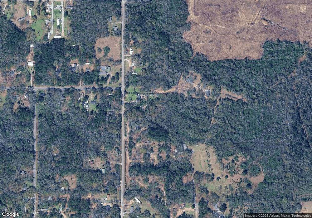
1000 Bryant St Mobile, AL 36608
Glen Acres NeighborhoodEstimated Value: $104,333 - $196,000
2
Beds
2
Baths
1,056
Sq Ft
$139/Sq Ft
Est. Value
About This Home
This home is located at 1000 Bryant St, Mobile, AL 36608 and is currently estimated at $146,583, approximately $138 per square foot. 1000 Bryant St is a home located in Mobile County with nearby schools including Elsie Collier Elementary School, Bernice J Causey Middle School, and Baker High School.
Ownership History
Date
Name
Owned For
Owner Type
Purchase Details
Closed on
Jan 4, 2007
Sold by
The United States Department Of Housing
Bought by
Nelson Geneva E
Current Estimated Value
Purchase Details
Closed on
Jun 6, 2006
Sold by
Regions Bank
Bought by
Hud
Purchase Details
Closed on
Dec 6, 2005
Sold by
Hud
Bought by
Regions Mortgage
Purchase Details
Closed on
Nov 4, 2004
Sold by
Regions Bank
Bought by
Hud
Purchase Details
Closed on
Jan 20, 2004
Sold by
Harvey Woodrow Donald and Harvey Mary Jeannie
Bought by
Regions Bank
Create a Home Valuation Report for This Property
The Home Valuation Report is an in-depth analysis detailing your home's value as well as a comparison with similar homes in the area
Home Values in the Area
Average Home Value in this Area
Purchase History
| Date | Buyer | Sale Price | Title Company |
|---|---|---|---|
| Nelson Geneva E | $24,050 | None Available | |
| Hud | -- | None Available | |
| Regions Mortgage | -- | None Available | |
| Hud | -- | -- | |
| Regions Bank | $47,956 | -- |
Source: Public Records
Tax History Compared to Growth
Tax History
| Year | Tax Paid | Tax Assessment Tax Assessment Total Assessment is a certain percentage of the fair market value that is determined by local assessors to be the total taxable value of land and additions on the property. | Land | Improvement |
|---|---|---|---|---|
| 2024 | $393 | $15,160 | $3,600 | $11,560 |
| 2023 | $338 | $13,880 | $3,000 | $10,880 |
| 2022 | $338 | $13,880 | $3,000 | $10,880 |
| 2021 | $338 | $13,880 | $3,000 | $10,880 |
| 2020 | $332 | $13,640 | $2,760 | $10,880 |
| 2019 | $314 | $12,940 | $2,760 | $10,180 |
| 2018 | $314 | $6,480 | $0 | $0 |
| 2017 | $314 | $6,480 | $0 | $0 |
| 2016 | $371 | $7,640 | $0 | $0 |
| 2013 | $447 | $9,040 | $0 | $0 |
Source: Public Records
Map
Nearby Homes
- 8254 Spruce Pine Dr
- 1167 Torrey Ave
- 8244 Spruce Pine Dr
- 1168 Torrey Ave
- 8228 Spruce Pine Dr
- 8218 Spruce Pine Dr
- 8751 Glen Acres Dr N
- The Freeport Plan at The Pines at Colleton Place
- The Cali Plan at The Pines at Colleton Place
- The Aria Plan at The Pines at Colleton Place
- The Lakeside Plan at The Pines at Colleton Place
- 2613 Windmere Dr E
- 2606 Windmere Dr E
- 2599 Cedarwood St
- 2616 Windmere Dr E
- 108 Keene St
- 1330 Penny Lakes Dr
- 8570 Howells Ferry Rd
- 8650 Howells Ferry Rd
- 0 Howells Ferry Rd Unit 7547177
- 1016 Bryant St
- 974 Bryant St
- 1120 Bryant St
- 878 Bryant St Unit 21
- 956 Bryant St
- 0 Bryant St Unit 7197177
- 0 Bryant St Unit 657878
- 0 Bryant St Unit 540091
- 1032 Bryant St
- 920 Airport St
- 989 Bryant St
- 8578 Crowell St
- 8603 Crowell St
- 1080 Bryant St
- 8619 Crowell St
- 900 Bryant St
- 8588 Crowell St
- 927 Bryant St
- 1103 Bryant St
- 8635 Crowell St
