Estimated Value: $149,117
--
Bed
--
Bath
3,134
Sq Ft
$48/Sq Ft
Est. Value
About This Home
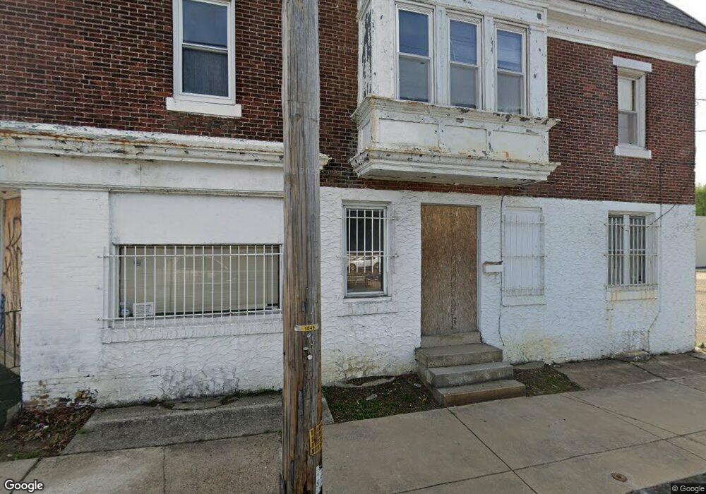
This home is located at 1000 Cedar Ave, Darby, PA 19023 and is currently priced at $149,117, approximately $47 per square foot. 1000 Cedar Ave is a home located in Delaware County with nearby schools including Park Lane Elementary School, Penn Wood Middle School, and Penn Wood High School - Cypress Street Campus.
Ownership History
Date
Name
Owned For
Owner Type
Purchase Details
Closed on
Sep 17, 2021
Sold by
Gjs Bros I Inc
Bought by
Jslee Group Inc
Current Estimated Value
Purchase Details
Closed on
Dec 28, 2001
Sold by
Alessi Memorials Inc
Bought by
Gjs Bros I Inc
Home Financials for this Owner
Home Financials are based on the most recent Mortgage that was taken out on this home.
Original Mortgage
$100,000
Interest Rate
6.72%
Mortgage Type
Credit Line Revolving
Purchase Details
Closed on
May 24, 2000
Sold by
Alessi Anne and Estate Of Anna Barbara Alessi
Bought by
Alessi Memorials Inc
Home Financials for this Owner
Home Financials are based on the most recent Mortgage that was taken out on this home.
Original Mortgage
$130,000
Interest Rate
8.12%
Mortgage Type
Purchase Money Mortgage
Create a Home Valuation Report for This Property
The Home Valuation Report is an in-depth analysis detailing your home's value as well as a comparison with similar homes in the area
Home Values in the Area
Average Home Value in this Area
Purchase History
| Date | Buyer | Sale Price | Title Company |
|---|---|---|---|
| Jslee Group Inc | $110,000 | H&H Settlement Services | |
| Gjs Bros I Inc | $97,762 | -- | |
| Alessi Memorials Inc | $80,000 | -- |
Source: Public Records
Mortgage History
| Date | Status | Borrower | Loan Amount |
|---|---|---|---|
| Previous Owner | Gjs Bros I Inc | $100,000 | |
| Previous Owner | Alessi Memorials Inc | $130,000 |
Source: Public Records
Tax History Compared to Growth
Tax History
| Year | Tax Paid | Tax Assessment Tax Assessment Total Assessment is a certain percentage of the fair market value that is determined by local assessors to be the total taxable value of land and additions on the property. | Land | Improvement |
|---|---|---|---|---|
| 2025 | $6,793 | $137,170 | $43,070 | $94,100 |
| 2024 | $6,793 | $137,170 | $43,070 | $94,100 |
| 2023 | $6,391 | $137,170 | $43,070 | $94,100 |
| 2022 | $6,216 | $137,170 | $43,070 | $94,100 |
| 2021 | $8,674 | $137,170 | $43,070 | $94,100 |
| 2020 | $4,458 | $61,020 | $44,880 | $16,140 |
| 2019 | $4,269 | $61,020 | $44,880 | $16,140 |
| 2018 | $4,217 | $61,020 | $0 | $0 |
| 2017 | $4,139 | $61,020 | $0 | $0 |
| 2016 | $342 | $61,020 | $0 | $0 |
| 2015 | $342 | $61,020 | $0 | $0 |
| 2014 | $342 | $106,200 | $0 | $0 |
Source: Public Records
Map
Nearby Homes
- 908 Cedar Ave
- 252 N 9th St
- 1203 Edgehill Rd
- 909 Maple Terrace
- 902 Maple Terrace
- 221 N 9th St
- 1237 Edgehill Rd
- 1246 Wycombe Ave
- 1232 Edgehill Rd
- 225 Wright Ave
- 209 Weymouth Rd
- 214 N 6th St
- 200 N 6th St
- 210 Londonderry Ln
- 112 Ridge Ave
- 1210 Berkley Rd
- 14 N Macdade Blvd
- 306 Golf Rd
- 704 Main St
- 1125 Main St
- 1005 Mulberry St
- 1003 Mulberry St
- 1001 Mulberry St
- 1007 Mulberry St
- 1009 Mulberry St
- 1013 Mulberry St
- 1011 Mulberry St
- 348 N 10th St
- 339 N 10th St
- 346 N 10th St
- 344 N 10th St
- 337 N 10th St
- 342 N 10th St
- 336 Mulberry St
- 335 N 10th St
- 340 N 10th St
- 334 Mulberry St
- 338 N 10th St
- 333 N 10th St
- 332 Mulberry St