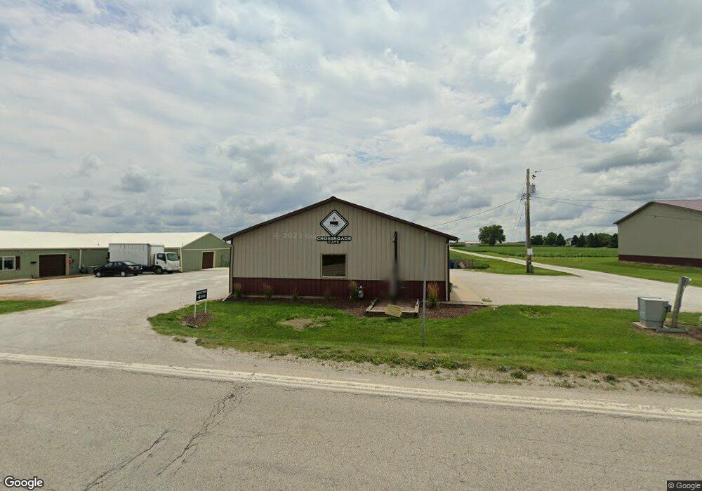
1000 E Cemetery Ave Chenoa, IL 61726
Estimated Value: $113,787
Studio
--
Bath
--
Sq Ft
7,754
Sq Ft Lot
About This Home
This home is located at 1000 E Cemetery Ave, Chenoa, IL 61726 and is currently estimated at $113,787. 1000 E Cemetery Ave is a home located in McLean County with nearby schools including Prairie Central High School.
Ownership History
Date
Name
Owned For
Owner Type
Purchase Details
Closed on
Jul 22, 2024
Sold by
Kodavatikanti Nimrod and Kodavatikanti Laura
Bought by
Twenty Four West First Street Llc
Current Estimated Value
Purchase Details
Closed on
Sep 15, 2020
Sold by
Bell Jay and Bell Doug E
Bought by
Kodavatikanti Nimrod and Kodavatikanti Laura
Home Financials for this Owner
Home Financials are based on the most recent Mortgage that was taken out on this home.
Original Mortgage
$56,000
Interest Rate
2.9%
Mortgage Type
Future Advance Clause Open End Mortgage
Purchase Details
Closed on
Jan 15, 2007
Sold by
Bell Marcia K
Bought by
Bell Shirley
Create a Home Valuation Report for This Property
The Home Valuation Report is an in-depth analysis detailing your home's value as well as a comparison with similar homes in the area
Purchase History
| Date | Buyer | Sale Price | Title Company |
|---|---|---|---|
| Twenty Four West First Street Llc | $110,000 | None Listed On Document | |
| Kodavatikanti Nimrod | $75,000 | None Available | |
| Bell Shirley | $27,500 | None Available |
Source: Public Records
Mortgage History
| Date | Status | Borrower | Loan Amount |
|---|---|---|---|
| Previous Owner | Kodavatikanti Nimrod | $56,000 |
Source: Public Records
Tax History
| Year | Tax Paid | Tax Assessment Tax Assessment Total Assessment is a certain percentage of the fair market value that is determined by local assessors to be the total taxable value of land and additions on the property. | Land | Improvement |
|---|---|---|---|---|
| 2025 | $2,724 | $32,038 | $3,746 | $28,292 |
| 2024 | $2,397 | $28,894 | $3,378 | $25,516 |
| 2022 | $2,397 | $24,859 | $2,906 | $21,953 |
| 2021 | $2,306 | $24,291 | $2,840 | $21,451 |
| 2020 | $1,212 | $12,397 | $2,641 | $9,756 |
| 2019 | $1,245 | $12,397 | $2,641 | $9,756 |
| 2018 | $1,322 | $12,275 | $2,615 | $9,660 |
| 2017 | $970 | $10,066 | $2,615 | $7,451 |
| 2016 | $919 | $10,066 | $2,615 | $7,451 |
| 2015 | $901 | $10,328 | $2,683 | $7,645 |
| 2014 | $896 | $10,328 | $2,683 | $7,645 |
| 2013 | -- | $10,440 | $2,712 | $7,728 |
Source: Public Records
Map
Nearby Homes
- 605 Morningside Dr
- 507 E Cemetery Ave
- 202 N 2nd Ave
- 301 N 2nd Ave
- 602 N 4th Ave
- 214 W Owsley St
- Lot 7 Block 11 S Morehead St
- 106 Champion Dr
- 10147 N 1000 East Rd
- 10788 N 1000 East Rd
- 9898 E 1200 North Rd
- 33574 Oak St
- 109 S Elm St
- 112 Peine Dr
- 107 E Gridley Rd
- 108 E Gridley Rd
- 10735 E 1700 Rd N
- 1702 S Plum St
- 1507 S Oak St
- 25179 N 2175 East Rd
Your Personal Tour Guide
Ask me questions while you tour the home.