1000 Fred Cook Rd Prosperity, SC 29127
Estimated Value: $539,461 - $825,000
--
Bed
--
Bath
3,290
Sq Ft
$201/Sq Ft
Est. Value
About This Home
This home is located at 1000 Fred Cook Rd, Prosperity, SC 29127 and is currently estimated at $661,615, approximately $201 per square foot. 1000 Fred Cook Rd is a home with nearby schools including Prosperity-Rikard Elementary School, Mid-Carolina Middle School, and Mid-Carolina High School.
Ownership History
Date
Name
Owned For
Owner Type
Purchase Details
Closed on
Dec 16, 2013
Sold by
Hunter Michael S
Bought by
Hunter Michael S and Hunter Allison
Current Estimated Value
Home Financials for this Owner
Home Financials are based on the most recent Mortgage that was taken out on this home.
Original Mortgage
$296,290
Outstanding Balance
$226,821
Interest Rate
4.38%
Mortgage Type
Purchase Money Mortgage
Estimated Equity
$434,794
Purchase Details
Closed on
Dec 28, 2010
Sold by
Day Pam Hunter and West Pam Hunter
Bought by
Hunter Michael S
Create a Home Valuation Report for This Property
The Home Valuation Report is an in-depth analysis detailing your home's value as well as a comparison with similar homes in the area
Home Values in the Area
Average Home Value in this Area
Purchase History
| Date | Buyer | Sale Price | Title Company |
|---|---|---|---|
| Hunter Michael S | -- | -- | |
| Hunter Michael S | $19,294 | -- |
Source: Public Records
Mortgage History
| Date | Status | Borrower | Loan Amount |
|---|---|---|---|
| Open | Hunter Michael S | $296,290 |
Source: Public Records
Tax History Compared to Growth
Tax History
| Year | Tax Paid | Tax Assessment Tax Assessment Total Assessment is a certain percentage of the fair market value that is determined by local assessors to be the total taxable value of land and additions on the property. | Land | Improvement |
|---|---|---|---|---|
| 2024 | $2,312 | $12,128 | $456 | $11,672 |
| 2023 | $2,288 | $12,128 | $456 | $11,672 |
| 2022 | $2,263 | $12,127 | $455 | $11,672 |
| 2021 | $2,276 | $12,128 | $456 | $11,672 |
| 2020 | $2,276 | $12,127 | $455 | $11,672 |
| 2019 | $2,300 | $12,127 | $455 | $11,672 |
| 2018 | $2,178 | $11,111 | $435 | $10,676 |
| 2017 | $2,778 | $11,111 | $435 | $10,676 |
| 2016 | $2,167 | $11,111 | $435 | $10,676 |
| 2015 | -- | $0 | $0 | $0 |
| 2014 | -- | $42 | $0 | $0 |
| 2013 | -- | $42 | $0 | $0 |
| 2012 | -- | $43 | $0 | $0 |
Source: Public Records
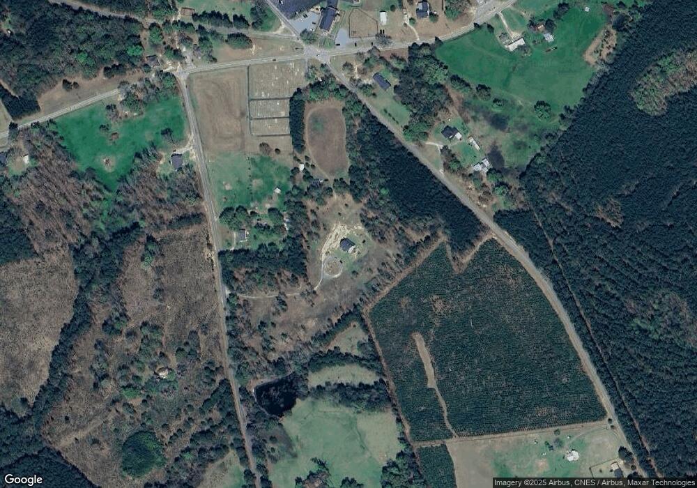
Map
Nearby Homes
- 0 Morris Rd Unit 609592
- 1479 Fire Tower Rd
- 0 Hugh Fellers Rd Unit 587126
- 349 Federal Ln
- 119 Colony Dr
- 0 Lookout Point
- 973 Twin Ponds Rd
- 111 Brookside Rd
- 0 Brown St
- 114 Williams Wood Dr
- 150 Stewart Landing Dr
- 148 Williams Wood Dr
- 0 Break Water Dr Unit 604827
- 0 Ferry Phil Ct Unit 604767
- 0 Ferry Phil Ct Unit 604765
- 0 Ferry Phil Ct Unit 604763
- 0 Ferry Phil Ct Unit 604762
- 0 Break Water Dr Unit 604760
- 0 Ferry Phil Ct Unit 604403
- 0 Ferry Phil Ct Unit 604398
- 1012 Fred Cook Rd
- 3920 Saint Lukes Church Rd
- 2675 Stoney Hill Rd
- 740 Fred Kunkle Rd
- 740 Fred Cook Rd
- 2475 Stoney Hill Rd
- 2715 Stoney Hill Rd
- 2410 Stoney Hill Rd
- 2410 Stoney Hill Rd
- 3611 Saint Lukes Church Rd
- Hwy 391 Stoney Hill Rd
- 4201 Saint Lukes Church Rd
- 3585 Saint Lukes Church Rd
- 2866 Stoney Hill Rd
- 651 Fred Cook Rd
- 2867 Stoney Hill Rd
- 1927 Silverstreet Rd
- 2952 Stoney Hill Rd
- 2277 Stoney Hill Rd
- 2937 Stoney Hill Rd