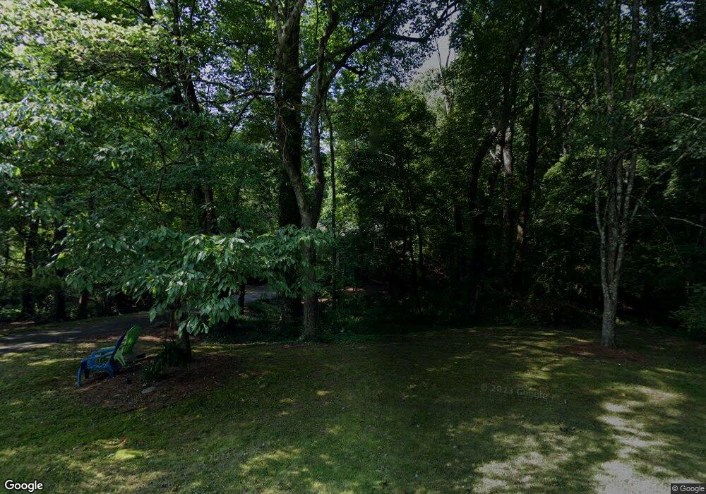
1000 Hamilton Ridge Ln Rural Hall, NC 27045
Estimated Value: $246,000 - $275,000
2
Beds
2
Baths
1,404
Sq Ft
$187/Sq Ft
Est. Value
About This Home
This home is located at 1000 Hamilton Ridge Ln, Rural Hall, NC 27045 and is currently estimated at $262,006, approximately $186 per square foot. 1000 Hamilton Ridge Ln is a home located in Forsyth County with nearby schools including Rural Hall Elementary School, Northwest Middle, and North Forsyth High.
Ownership History
Date
Name
Owned For
Owner Type
Purchase Details
Closed on
Mar 28, 2003
Sold by
Roberts J Preston and Roberts Lynn M
Bought by
Hill Kathleen J
Current Estimated Value
Home Financials for this Owner
Home Financials are based on the most recent Mortgage that was taken out on this home.
Original Mortgage
$114,460
Outstanding Balance
$48,991
Interest Rate
5.82%
Estimated Equity
$213,015
Create a Home Valuation Report for This Property
The Home Valuation Report is an in-depth analysis detailing your home's value as well as a comparison with similar homes in the area
Home Values in the Area
Average Home Value in this Area
Purchase History
| Date | Buyer | Sale Price | Title Company |
|---|---|---|---|
| Hill Kathleen J | $118,000 | -- |
Source: Public Records
Mortgage History
| Date | Status | Borrower | Loan Amount |
|---|---|---|---|
| Open | Hill Kathleen J | $114,460 |
Source: Public Records
Tax History Compared to Growth
Tax History
| Year | Tax Paid | Tax Assessment Tax Assessment Total Assessment is a certain percentage of the fair market value that is determined by local assessors to be the total taxable value of land and additions on the property. | Land | Improvement |
|---|---|---|---|---|
| 2025 | $1,572 | $256,900 | $44,600 | $212,300 |
| 2024 | $1,572 | $137,000 | $27,700 | $109,300 |
| 2023 | $1,572 | $137,000 | $27,700 | $109,300 |
| 2022 | $1,572 | $137,000 | $27,700 | $109,300 |
| 2021 | $1,572 | $0 | $0 | $0 |
| 2020 | $1,374 | $117,900 | $22,800 | $95,100 |
| 2019 | $1,386 | $117,900 | $22,800 | $95,100 |
| 2018 | $1,351 | $117,900 | $22,800 | $95,100 |
| 2016 | $1,310 | $113,601 | $22,770 | $90,831 |
| 2015 | $1,300 | $113,601 | $22,770 | $90,831 |
| 2014 | $1,294 | $113,601 | $22,770 | $90,831 |
Source: Public Records
Map
Nearby Homes
- 875 Adams Way Ct
- 9481 Helsabeck Rd
- 9483 Helsabeck Rd
- 00 Tuttle Rd
- 9009 Stamford Club Ct
- 2040 Jefferson Oaks Dr
- 2145 Jefferson Oaks Dr
- 119 Jasper Ct
- 301 Grand Worth Way
- 325 Grand Worth Way
- 122 Jasper Ct
- 101 Jasper Ct
- 308 Grand Worth Way
- 213 Grand Worth Way
- Roller Mill Plan at Gentry Farm
- Oak Crest Plan at Gentry Farm
- Heritage Bridge Plan at Gentry Farm
- Birch Haven Courtyard Plan at Gentry Farm
- Brookdale Plan at Gentry Farm
- Ayden Plan at Gentry Farm
- 990 Hamilton Ridge Ln
- 980 Hamilton Ridge Ln
- 9532 Jefferson Valley Dr
- 970 Hamilton Ridge Ln
- 9529 Jefferson Valley Dr
- 9528 Jefferson Valley Dr
- 960 Hamilton Ridge Ln
- 9525 Jefferson Valley Dr
- 950 Hamilton Ridge Ln
- 9524 Jefferson Valley Dr
- 985 Hamilton Ridge Ln
- 986 Madison View Ct
- 9521 Jefferson Valley Dr
- 9520 Jefferson Valley Dr
- 976 Madison View Ct
- 9568 Oakbrook Ridge
- 9560 Oakbrook Ridge
- 9552 Oakbrook Ridge
- 985 Madison View Ct
- 9517 Jefferson Valley Dr
