Estimated Value: $105,000 - $1,409,147
2
Beds
2
Baths
1,662
Sq Ft
$456/Sq Ft
Est. Value
About This Home
This home is located at 1000 Heathrow Way, Byron, GA 31008 and is currently estimated at $757,074, approximately $455 per square foot. 1000 Heathrow Way is a home with nearby schools including Byron Elementary School, Byron Middle School, and Peach County High School.
Ownership History
Date
Name
Owned For
Owner Type
Purchase Details
Closed on
Jan 25, 2005
Sold by
Collins William B
Bought by
Heathrow Senior Village Lp
Current Estimated Value
Purchase Details
Closed on
Jan 18, 2005
Sold by
Collins William B
Bought by
Heathrow Senior Village Lp
Purchase Details
Closed on
May 4, 2004
Sold by
Collins William B
Bought by
Collins William B
Purchase Details
Closed on
Aug 2, 1994
Bought by
Collins William B
Purchase Details
Closed on
Mar 17, 1989
Bought by
King Carl H
Purchase Details
Closed on
Aug 25, 1982
Bought by
Trust Co Bank Of Middle Ga As Trustee
Create a Home Valuation Report for This Property
The Home Valuation Report is an in-depth analysis detailing your home's value as well as a comparison with similar homes in the area
Home Values in the Area
Average Home Value in this Area
Purchase History
| Date | Buyer | Sale Price | Title Company |
|---|---|---|---|
| Heathrow Senior Village Lp | $40,000 | -- | |
| Heathrow Senior Village Lp | $40,000 | -- | |
| Collins William B | -- | -- | |
| Collins William B | -- | -- | |
| King Carl H | -- | -- | |
| Cranford Julian Edward | -- | -- | |
| Trust Co Bank Of Middle Ga As Trustee | -- | -- |
Source: Public Records
Tax History Compared to Growth
Tax History
| Year | Tax Paid | Tax Assessment Tax Assessment Total Assessment is a certain percentage of the fair market value that is determined by local assessors to be the total taxable value of land and additions on the property. | Land | Improvement |
|---|---|---|---|---|
| 2024 | $27,194 | $762,040 | $36,800 | $725,240 |
| 2023 | $27,312 | $760,360 | $29,440 | $730,920 |
| 2022 | $18,279 | $679,000 | $29,440 | $649,560 |
| 2021 | $17,501 | $560,520 | $29,440 | $531,080 |
| 2020 | $17,610 | $564,040 | $29,440 | $534,600 |
| 2019 | $17,224 | $548,960 | $29,440 | $519,520 |
| 2018 | $14,128 | $448,000 | $23,464 | $424,536 |
| 2017 | $14,197 | $448,000 | $23,464 | $424,536 |
| 2016 | $18,612 | $693,920 | $29,440 | $664,480 |
| 2015 | $21,931 | $693,920 | $29,440 | $664,480 |
| 2014 | $21,966 | $693,920 | $29,440 | $664,480 |
| 2013 | -- | $693,920 | $29,440 | $664,480 |
Source: Public Records
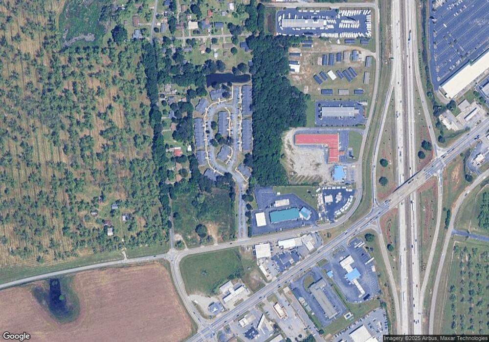
Map
Nearby Homes
- 104 Robinson St
- 105 2nd St
- 203 Colonial Dr
- 108 Timber Ridge Cir
- 104 Williamsburg Trail
- 101 Williamsburg Trail
- 0 W White Rd Unit 329733
- 293 Osage Cir
- 102 Silver Maple Ct
- 506 Howard St
- 109 Silver Maple Ct
- 107 Silver Maple Ct
- 00 Dunbar Rd
- 00 Georgia 49
- 467 Kirkland Dr
- 119 Buckskin Trail
- 252 Shantz Way
- 252 Shantz Way Unit (LOT A43)
- 113 Early Dr
- 106 Early Dr
- 114 Woodland Dr
- 118 Woodland Dr
- 112 Woodland Dr
- 120 Woodland Dr
- 110 Woodland Dr
- 122 Woodland Dr
- 124 Woodland Dr
- 112 East St
- 108 East St
- 126 Woodland Dr
- 106 East St
- 104 East St
- 0 East St Unit 7277104
- 0 East St Unit 7599152
- 0 East St Unit 7227357
- 0 East St Unit 7063926
- 102 East St
- 0 Woodland Dr Unit 141268
- 0 Woodland Dr Unit 8085822
- 0 Woodland Dr Unit 8415778