1000 High Darnell Rd Rabun Gap, GA 30568
Estimated Value: $359,274 - $694,000
3
Beds
2
Baths
2,080
Sq Ft
$231/Sq Ft
Est. Value
About This Home
This home is located at 1000 High Darnell Rd, Rabun Gap, GA 30568 and is currently estimated at $479,569, approximately $230 per square foot. 1000 High Darnell Rd is a home located in Rabun County with nearby schools including Rabun County Primary School, Rabun County High School, and Rabun Gap Nacoochee School.
Ownership History
Date
Name
Owned For
Owner Type
Purchase Details
Closed on
Nov 1, 2006
Sold by
Not Provided
Bought by
Justus Hilton and Justus Diane
Current Estimated Value
Purchase Details
Closed on
Jun 1, 2004
Purchase Details
Closed on
Jan 1, 1997
Purchase Details
Closed on
Oct 1, 1992
Create a Home Valuation Report for This Property
The Home Valuation Report is an in-depth analysis detailing your home's value as well as a comparison with similar homes in the area
Home Values in the Area
Average Home Value in this Area
Purchase History
| Date | Buyer | Sale Price | Title Company |
|---|---|---|---|
| Justus Hilton | -- | -- | |
| Justus Hilton | -- | -- | |
| -- | -- | -- | |
| -- | -- | -- | |
| -- | -- | -- | |
| -- | -- | -- | |
| -- | -- | -- | |
| -- | -- | -- |
Source: Public Records
Tax History Compared to Growth
Tax History
| Year | Tax Paid | Tax Assessment Tax Assessment Total Assessment is a certain percentage of the fair market value that is determined by local assessors to be the total taxable value of land and additions on the property. | Land | Improvement |
|---|---|---|---|---|
| 2025 | -- | $82,024 | $11,016 | $71,008 |
| 2024 | -- | $77,434 | $11,016 | $66,418 |
| 2023 | $0 | $72,194 | $10,368 | $61,826 |
| 2022 | $1,020 | $69,251 | $9,720 | $59,531 |
| 2021 | $896 | $61,140 | $9,072 | $52,068 |
| 2020 | $802 | $54,692 | $9,072 | $45,620 |
| 2019 | $807 | $54,692 | $9,072 | $45,620 |
| 2018 | $810 | $54,692 | $9,072 | $45,620 |
| 2017 | $781 | $54,692 | $9,072 | $45,620 |
| 2016 | $783 | $54,692 | $9,072 | $45,620 |
| 2015 | $843 | $57,034 | $9,072 | $47,962 |
| 2014 | $845 | $57,034 | $9,072 | $47,962 |
Source: Public Records
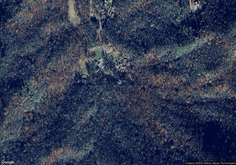
Map
Nearby Homes
- 0 Ov Justus Rd
- 108 Olds Mountain Peak Rd
- 786 Hope Haven Ln
- 0 Allen Cove Rd Unit 10586573
- 243 Degroff Ln
- 5192 Wolffork Rd
- 5019 Wolffork Rd
- 73 Redbird Ln
- 784 Wolffork Church Rd
- LOT SM4 Raven Fork Trail
- 137 Olds Mountain Peak Rd
- 230 Majors Ln
- 0 Smokey Hollow Dr Unit LOT 27 10561110
- 1422 Wolffork Rd
- LOT 18 Wynngate Dr
- 571 Ledford Rd
- 0 Wolffork Rd Unit 10624471
- 0 John Beck Dockins Rd Unit 10606531
- 0 N U S 441 NW Unit 10489249
- 153 Coleman Heights Ln
- 909 High Darnell Rd
- 928 High Darnell Rd
- 907 High Darnell Rd
- 962 High Darnell Rd
- 793 High Darnell Rd
- 758 High Darnell Rd
- 614 High Darnell Rd
- 669 High Darnell Rd
- 104 Almond Ln
- 0 High Darnell Rd Unit 7024241
- 0 High Darnell Rd Unit 7024221
- 0 High Darnell Rd Unit 7446682
- 0 High Darnell Rd Unit 7549575
- 0 High Darnell Rd Unit 7631485
- 0 High Darnell Rd Unit 8192074
- 4 Outback Ln
- 547 Outback Ln
- 129 Outback Ln
- 129 Outback Ln Unit 2
- 584 Outback Ln