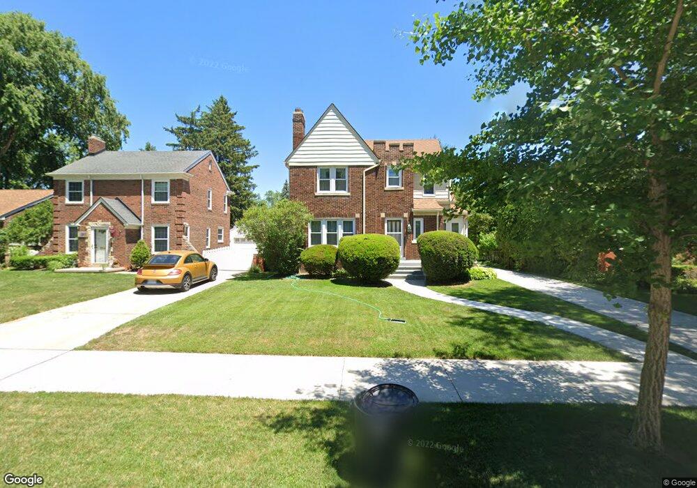
1000 Lincoln Rd Grosse Pointe, MI 48230
Estimated Value: $431,214 - $578,000
Studio
1
Bath
2,021
Sq Ft
$249/Sq Ft
Est. Value
About This Home
This home is located at 1000 Lincoln Rd, Grosse Pointe, MI 48230 and is currently estimated at $503,304, approximately $249 per square foot. 1000 Lincoln Rd is a home located in Wayne County with nearby schools including Richard Elementary School, Brownell Middle School, and Grosse Pointe South High School.
Ownership History
Date
Name
Owned For
Owner Type
Purchase Details
Closed on
Aug 6, 2014
Sold by
Coombe Joyce E and Bradford Philip M
Bought by
Bradford Philip M
Current Estimated Value
Home Financials for this Owner
Home Financials are based on the most recent Mortgage that was taken out on this home.
Original Mortgage
$80,000
Interest Rate
4.1%
Mortgage Type
Credit Line Revolving
Purchase Details
Closed on
Oct 26, 1993
Sold by
Bradford Helen V
Bought by
Bradford Helen
Create a Home Valuation Report for This Property
The Home Valuation Report is an in-depth analysis detailing your home's value as well as a comparison with similar homes in the area
Home Values in the Area
Average Home Value in this Area
Purchase History
| Date | Buyer | Sale Price | Title Company |
|---|---|---|---|
| Bradford Philip M | -- | None Available | |
| Bradford Helen | -- | Lawyers Title Ins |
Source: Public Records
Mortgage History
| Date | Status | Borrower | Loan Amount |
|---|---|---|---|
| Closed | Bradford Philip M | $80,000 |
Source: Public Records
Tax History
| Year | Tax Paid | Tax Assessment Tax Assessment Total Assessment is a certain percentage of the fair market value that is determined by local assessors to be the total taxable value of land and additions on the property. | Land | Improvement |
|---|---|---|---|---|
| 2025 | $4,539 | $232,000 | $0 | $0 |
| 2024 | $4,387 | $214,800 | $0 | $0 |
| 2023 | $4,183 | $196,900 | $0 | $0 |
| 2022 | $6,055 | $183,100 | $0 | $0 |
| 2021 | $5,741 | $178,200 | $0 | $0 |
| 2019 | $5,963 | $140,500 | $0 | $0 |
| 2018 | $3,631 | $126,400 | $0 | $0 |
| 2017 | $3,833 | $124,900 | $0 | $0 |
| 2016 | $5,464 | $120,300 | $0 | $0 |
| 2015 | $10,362 | $113,400 | $0 | $0 |
| 2013 | $9,871 | $103,800 | $0 | $0 |
| 2012 | -- | $96,400 | $0 | $0 |
Source: Public Records
Map
Nearby Homes
- 4496 Radnor St
- 464 Mckinley Ave
- 4528 Farmbrook St
- 407 Moran Rd
- 4607 Radnor St
- 4082 Hereford St
- 343 Mount Vernon Ave
- 346 Mckinley Ave
- 4861 Farmbrook St
- 4522 Hereford St
- 412 Manor St
- 341 Mcmillan Rd
- 4880 Lodewyck St
- 4865 Marseilles St
- 314 Mount Vernon Ave
- 4845 University Place
- 17590 Mack Ave Unit 8
- 4383 Neff Ave
- 302 Mount Vernon Ave
- 17540 Mack Ave Unit 10
Your Personal Tour Guide
Ask me questions while you tour the home.