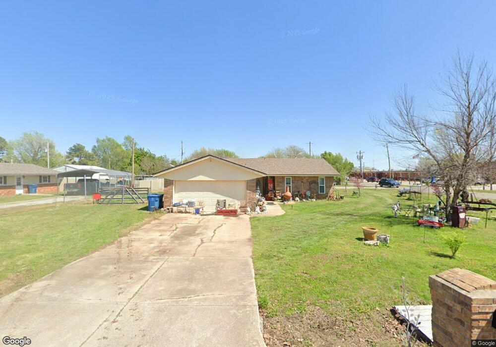
1000 N Melinda Ave Newcastle, OK 73065
Estimated Value: $200,000 - $226,231
3
Beds
2
Baths
1,704
Sq Ft
$126/Sq Ft
Est. Value
About This Home
This home is located at 1000 N Melinda Ave, Newcastle, OK 73065 and is currently estimated at $214,308, approximately $125 per square foot. 1000 N Melinda Ave is a home located in McClain County with nearby schools including Newcastle Elementary School, Newcastle Middle School, and Newcastle High School.
Ownership History
Date
Name
Owned For
Owner Type
Purchase Details
Closed on
Aug 2, 2018
Sold by
Miller Ladeana Raye and Howe Roni Michelle
Bought by
Howe Richard E and Howe Roni M
Current Estimated Value
Home Financials for this Owner
Home Financials are based on the most recent Mortgage that was taken out on this home.
Original Mortgage
$45,000
Outstanding Balance
$38,325
Interest Rate
3.75%
Mortgage Type
FHA
Estimated Equity
$175,983
Purchase Details
Closed on
Feb 16, 2016
Sold by
Lambert Ronald Dean
Bought by
Lambert Ronald Dean and The J Henry Revocable Living T
Create a Home Valuation Report for This Property
The Home Valuation Report is an in-depth analysis detailing your home's value as well as a comparison with similar homes in the area
Home Values in the Area
Average Home Value in this Area
Purchase History
| Date | Buyer | Sale Price | Title Company |
|---|---|---|---|
| Howe Richard E | $62,500 | American Eagle Title Group | |
| Lambert Ronald Dean | -- | None Available |
Source: Public Records
Mortgage History
| Date | Status | Borrower | Loan Amount |
|---|---|---|---|
| Open | Howe Richard E | $45,000 |
Source: Public Records
Tax History Compared to Growth
Tax History
| Year | Tax Paid | Tax Assessment Tax Assessment Total Assessment is a certain percentage of the fair market value that is determined by local assessors to be the total taxable value of land and additions on the property. | Land | Improvement |
|---|---|---|---|---|
| 2025 | $1,006 | $9,213 | $2,911 | $6,302 |
| 2024 | $1,006 | $8,774 | $2,772 | $6,002 |
| 2023 | $1,006 | $8,356 | $2,750 | $5,606 |
| 2022 | $919 | $7,959 | $2,750 | $5,209 |
| 2021 | $918 | $7,580 | $2,750 | $4,830 |
| 2020 | $878 | $7,219 | $2,750 | $4,469 |
| 2019 | $849 | $6,875 | $2,750 | $4,125 |
| 2018 | $645 | $6,307 | $1,431 | $4,876 |
| 2017 | $622 | $6,123 | $1,657 | $4,466 |
| 2016 | $602 | $5,944 | $1,105 | $4,839 |
| 2015 | $582 | $5,772 | $1,114 | $4,658 |
| 2014 | $554 | $5,604 | $1,063 | $4,541 |
Source: Public Records
Map
Nearby Homes
- 1109 N Doris Ave
- 1100 N Doris Ave
- 1013 N Carr Dr
- 375 NE 9th Place
- 303 Naomi Ln
- 908 NW 6th St
- 820 NW 5th St
- 808 Saint James Place
- 1009 NW 5th St
- 1012 NW 5th St
- 501 Saint James Place
- 1116 Vermont Ave
- 2 S Main St
- 3 S Main St
- 1 S Main St
- 4 S Main St
- 5 S Main St
- 6 S Main St
- Springfield Plan at Wyndemere
- Zion Plan at Wyndemere
- 1004 N Melinda Ave
- 1017 N Doris Ave
- 1008 N Melinda Ave
- 1005 N Doris Ave
- 1001 N Melinda Ave
- 1009 N Doris Ave
- 1012 N Melinda Ave
- 1009 N Melinda Ave
- 1013 N Doris Ave
- 1013 N Melinda Ave
- 1000 N Doris Ave
- 1020 N Melinda Ave
- 1004 N Doris Ave
- 1004 N Eunice Ave
- 1008 N Doris Ave Unit NCA
- 1000 N Eunice Ave
- 1021 N Melinda Ave
- 1012 N Eunice Ave
- 1132 N Doris Ave
- 1012 N Doris Ave