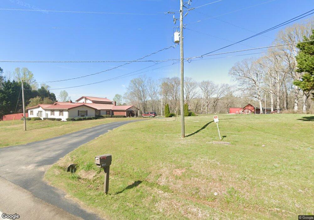
1000 Old West Point Rd Lagrange, GA 30240
Estimated Value: $343,000 - $778,302
4
Beds
4
Baths
3,744
Sq Ft
$142/Sq Ft
Est. Value
About This Home
This home is located at 1000 Old West Point Rd, Lagrange, GA 30240 and is currently estimated at $532,434, approximately $142 per square foot. 1000 Old West Point Rd is a home located in Troup County with nearby schools including Berta Weathersbee Elementary School, Long Cane Elementary School, and Whitesville Road Elementary School.
Ownership History
Date
Name
Owned For
Owner Type
Purchase Details
Closed on
Jul 25, 2019
Sold by
Baker Terry Eugene
Bought by
Baker Joshua E
Current Estimated Value
Purchase Details
Closed on
Jul 19, 1990
Bought by
Baker Terry E
Purchase Details
Closed on
Jan 1, 1974
Purchase Details
Closed on
Jan 1, 1966
Create a Home Valuation Report for This Property
The Home Valuation Report is an in-depth analysis detailing your home's value as well as a comparison with similar homes in the area
Home Values in the Area
Average Home Value in this Area
Purchase History
| Date | Buyer | Sale Price | Title Company |
|---|---|---|---|
| Baker Joshua E | $171,876 | -- | |
| Baker Terry E | -- | -- | |
| -- | -- | -- | |
| -- | -- | -- |
Source: Public Records
Tax History Compared to Growth
Tax History
| Year | Tax Paid | Tax Assessment Tax Assessment Total Assessment is a certain percentage of the fair market value that is determined by local assessors to be the total taxable value of land and additions on the property. | Land | Improvement |
|---|---|---|---|---|
| 2025 | $4,288 | $229,836 | $78,280 | $151,556 |
| 2024 | $4,288 | $222,096 | $78,280 | $143,816 |
| 2023 | $4,325 | $223,744 | $78,280 | $145,464 |
| 2022 | $4,160 | $214,504 | $78,280 | $136,224 |
| 2021 | $4,095 | $212,928 | $88,720 | $124,208 |
| 2020 | $4,087 | $212,928 | $88,720 | $124,208 |
| 2019 | $4,865 | $254,020 | $116,160 | $137,860 |
| 2018 | $4,466 | $241,448 | $116,160 | $125,288 |
| 2017 | $4,328 | $232,188 | $107,160 | $125,028 |
| 2016 | $4,233 | $229,632 | $107,172 | $122,460 |
| 2015 | -- | $229,632 | $107,172 | $122,460 |
| 2014 | -- | $209,762 | $107,172 | $102,590 |
| 2013 | -- | $211,598 | $107,172 | $104,426 |
Source: Public Records
Map
Nearby Homes
- 22 Freeman Rd
- 288 Bradfield Dr
- 275 Hanson Dr
- 0 Hanson Dr Unit 10641272
- 808 S Fling Rd
- 0 Bradfield Dr Unit 10568803
- 114 Westgate Dr
- 610 Ginger Cir
- 509 Connie Dr
- 103 Hawthorne Cir
- 110 Hawthorne Cir
- 266 Glass Bridge Rd
- 640 Hudson Rd
- 3835 W Point Rd
- 190 Hill Rd
- 243 Oak Dr
- 167 S Kight Dr
- 102 Foxdale Dr
- 3 Reed Dr
- 124 Foxdale Dr
- 1013 Old West Point Rd
- 1001 Old West Point Rd
- 987 Old West Point Rd
- 975 Old West Point Rd
- 993 Old West Point Rd
- 963 Old West Point Rd
- 2940 Old West Point Rd
- 73 Freeman Rd
- 935 Old West Point Rd
- 87 Freeman Rd
- 949 Old West Point Rd
- 99 Freeman Rd
- 78 Freeman Rd
- 111 Freeman Rd
- 123 Freeman Rd
- 135 Freeman Rd
- 2960 Old West Point Rd
- 903 Old West Point Rd
- 2990 Old West Point Rd
- 3000 Old West Point Rd