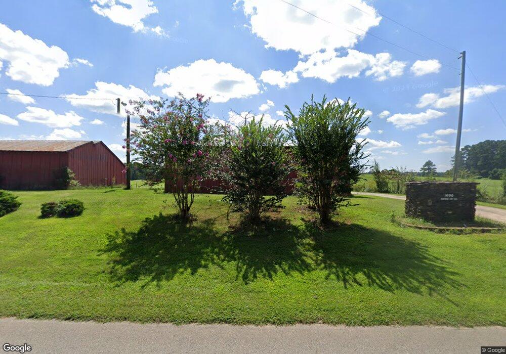
1000 Ransom Free Rd Dahlonega, GA 30533
Estimated Value: $924,000 - $1,273,000
--
Bed
--
Bath
4,917
Sq Ft
$229/Sq Ft
Est. Value
About This Home
This home is located at 1000 Ransom Free Rd, Dahlonega, GA 30533 and is currently estimated at $1,128,000, approximately $229 per square foot. 1000 Ransom Free Rd is a home with nearby schools including Wauka Mountain Elementary School, North Hall Middle School, and North Hall High School.
Ownership History
Date
Name
Owned For
Owner Type
Purchase Details
Closed on
Jun 23, 2017
Sold by
Barnes Dale
Bought by
Dews Patricia Ann and Kea Andrea Lynne
Current Estimated Value
Home Financials for this Owner
Home Financials are based on the most recent Mortgage that was taken out on this home.
Original Mortgage
$424,100
Outstanding Balance
$352,084
Interest Rate
3.95%
Mortgage Type
New Conventional
Estimated Equity
$775,916
Purchase Details
Closed on
Jul 15, 1999
Sold by
Barnes James M and Barnes Imo
Bought by
Barnes Dale
Create a Home Valuation Report for This Property
The Home Valuation Report is an in-depth analysis detailing your home's value as well as a comparison with similar homes in the area
Home Values in the Area
Average Home Value in this Area
Purchase History
| Date | Buyer | Sale Price | Title Company |
|---|---|---|---|
| Dews Patricia Ann | $539,500 | -- | |
| Barnes Dale | -- | -- |
Source: Public Records
Mortgage History
| Date | Status | Borrower | Loan Amount |
|---|---|---|---|
| Open | Dews Patricia Ann | $424,100 |
Source: Public Records
Tax History Compared to Growth
Tax History
| Year | Tax Paid | Tax Assessment Tax Assessment Total Assessment is a certain percentage of the fair market value that is determined by local assessors to be the total taxable value of land and additions on the property. | Land | Improvement |
|---|---|---|---|---|
| 2024 | $6,097 | $335,409 | $81,444 | $253,965 |
| 2023 | $5,404 | $308,568 | $69,946 | $238,622 |
| 2022 | $5,650 | $278,760 | $58,290 | $220,470 |
| 2021 | $5,005 | $246,253 | $58,290 | $187,963 |
| 2020 | $5,029 | $239,253 | $55,856 | $183,397 |
| 2019 | $4,980 | $239,253 | $55,856 | $183,397 |
| 2018 | $4,665 | $216,798 | $55,856 | $160,942 |
| 2017 | $1,677 | $211,368 | $55,856 | $155,512 |
| 2016 | $1,207 | $192,780 | $55,856 | $136,924 |
| 2015 | $3,771 | $192,780 | $55,856 | $136,924 |
| 2014 | $3,771 | $196,013 | $55,856 | $140,157 |
| 2013 | -- | $197,682 | $55,855 | $141,826 |
Source: Public Records
Map
Nearby Homes
- 132 Wauka Mountain Rd
- 0 Wauka Ridge Rd
- LOT 34 Wauka Ridge Rd
- 675 Wauka Ridge Rd
- 6564 Sunset Dr
- 00 Deer Run Trail
- 966 Wahoo Creek Rd
- 6147 Dahlonega Hwy
- 6.2 Mincey Acres Dr
- 6618 Kenimer Rd
- 3.65 Ac Emory Stephens Rd
- 3.65AC Emory Stephens Rd
- 0 Roseberry Ln
- 23.86 Acres Mincie Mountain
- 20.65 Acres Mincie Mountain
- 42.65 Acres Mincie Mountain
- 12 Katydid Ln
- 0 Wauka Mountain Terrace Unit 10601154
- LOT 24 Luther Palmer Rd
- 6632 Mountain Meadow Dr
- 1000 Ransom Free Rd
- 1134 Ransom Free Rd
- 7056 Perry Parks Rd
- 1033 Ransom Free Rd
- 7083 Perry Parks Rd
- 7049 Homer White Rd Unit 1212
- 7049 H White Rd
- 6987 Homer White Rd
- 10 Wauka Mountain Rd
- 322 Wauka Mountain Rd
- 288 Wauka Mountain Rd Unit Lot 1
- 7061 Homer White Rd
- LOT 10 Wauka Mountain Terrace
- LOT 10 Wauka Mountain Terrace Unit SEC B
- 10 Wauka Mountain Rd
- 1377 Ransom Free Rd
- 807 Ransom Free Rd
- LOT 30 TRACT B Wauka Ridge Rd
- LOT 30 TRACT B Wauka Ridge Rd Unit LOT 30 TRACT B
- 7097 Perry Parks Rd