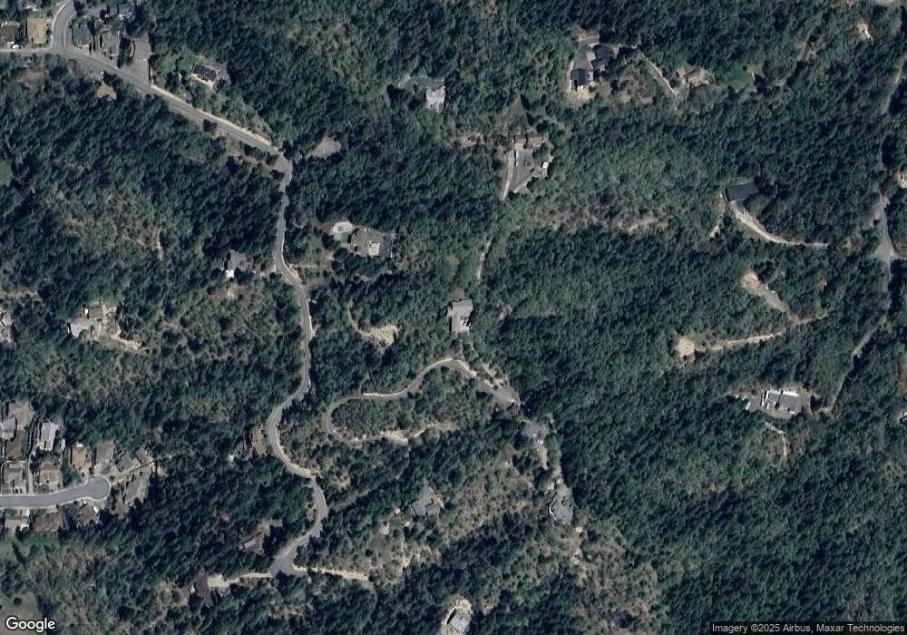
1000 Sharon Dr Grants Pass, OR 97527
Estimated Value: $743,275 - $920,000
3
Beds
3
Baths
2,780
Sq Ft
$299/Sq Ft
Est. Value
About This Home
This home is located at 1000 Sharon Dr, Grants Pass, OR 97527 and is currently estimated at $831,638, approximately $299 per square foot. 1000 Sharon Dr is a home located in Josephine County with nearby schools including Allen Dale Elementary School, South Middle School, and Grants Pass High School.
Ownership History
Date
Name
Owned For
Owner Type
Purchase Details
Closed on
Apr 30, 2024
Sold by
Hamilton Garvin J
Bought by
Hamilton Garvin J and Carpenter Elizabeth
Current Estimated Value
Purchase Details
Closed on
Apr 5, 2018
Sold by
Hamilton Cheri A
Bought by
Hamilton Garvin J
Home Financials for this Owner
Home Financials are based on the most recent Mortgage that was taken out on this home.
Original Mortgage
$452,100
Interest Rate
4.4%
Mortgage Type
New Conventional
Create a Home Valuation Report for This Property
The Home Valuation Report is an in-depth analysis detailing your home's value as well as a comparison with similar homes in the area
Home Values in the Area
Average Home Value in this Area
Purchase History
| Date | Buyer | Sale Price | Title Company |
|---|---|---|---|
| Hamilton Garvin J | -- | None Listed On Document | |
| Hamilton Garvin J | -- | Ticor Title Co Of Oregon |
Source: Public Records
Mortgage History
| Date | Status | Borrower | Loan Amount |
|---|---|---|---|
| Previous Owner | Hamilton Garvin J | $452,100 |
Source: Public Records
Tax History Compared to Growth
Tax History
| Year | Tax Paid | Tax Assessment Tax Assessment Total Assessment is a certain percentage of the fair market value that is determined by local assessors to be the total taxable value of land and additions on the property. | Land | Improvement |
|---|---|---|---|---|
| 2025 | $4,534 | $571,130 | -- | -- |
| 2024 | $4,534 | $554,500 | -- | -- |
| 2023 | $3,873 | $538,350 | $0 | $0 |
| 2022 | $3,785 | $522,670 | -- | -- |
| 2021 | $3,549 | $507,450 | $0 | $0 |
| 2020 | $3,449 | $492,670 | $0 | $0 |
| 2019 | $3,352 | $478,330 | $0 | $0 |
| 2018 | $3,354 | $464,400 | $0 | $0 |
| 2017 | $3,325 | $450,880 | $0 | $0 |
| 2016 | $2,823 | $437,750 | $0 | $0 |
| 2015 | $2,722 | $425,000 | $0 | $0 |
| 2014 | $2,650 | $412,630 | $0 | $0 |
Source: Public Records
Map
Nearby Homes
- 2538 Thomas Terrace
- 2931 Harbeck Rd
- 201 SE Sand Canyon Ln
- 214 SE Sapphire Ct
- 231 SE Sand Canyon Ln
- 15577 Oregon 238
- 213 Kroner Dr
- 2455 Harbeck Rd
- 2850 Williams Hwy
- 681 W Harbeck Rd
- 2704 Denton Trail
- 2708 Denton Trail
- 2700 Denton Trail
- 112 Arroyo Dr
- 2732 Denton Trail
- 3351 SW Bennett Ln
- 175 Morris Ln
- 126 SW Whispering Dr
- 101 SE Liberty Dr
- 426 SE Cadet Ct
- 465 Curtis Dr
- 999 Sharon Dr
- 1002 Sharon Dr
- 761 Sharon Dr
- 714 Colleen Ct
- 1005 Sharon Dr
- 440 Curtis Dr
- 538 Curtis Dr
- 2579 Harbeck Rd
- 2520 Thomas Terrace
- 0 Murphy Creek Tl206 Rd Unit 103003007
- 2575 Harbeck Rd
- 2542 Thomas Terrace
- 801 Rhonda Dr
- 712 Colleen Ct
- 2659 Williams Hwy
- 284 Landau Ln
- 285 Landau Ln
- 766 Rhonda Dr
- 646 Curtis Dr
