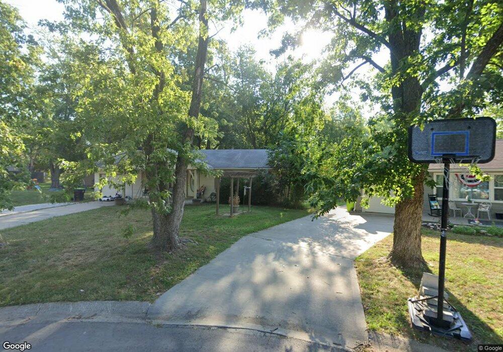
1000 Smith Cir Harrisonville, MO 64701
Estimated Value: $152,000 - $215,000
3
Beds
1
Bath
936
Sq Ft
$204/Sq Ft
Est. Value
About This Home
This home is located at 1000 Smith Cir, Harrisonville, MO 64701 and is currently estimated at $190,510, approximately $203 per square foot. 1000 Smith Cir is a home located in Cass County with nearby schools including McEowen Elementary School, Harrisonville Elementary School, and Harrisonville Middle School.
Ownership History
Date
Name
Owned For
Owner Type
Purchase Details
Closed on
Aug 15, 2006
Sold by
Friedrich Stephen and Friedrich Danielle
Bought by
Friedrich Scott
Current Estimated Value
Purchase Details
Closed on
Aug 22, 2005
Sold by
Johnson Scott E and Johnson Lori
Bought by
Friedrich Stephen and Friedrich Danielle
Home Financials for this Owner
Home Financials are based on the most recent Mortgage that was taken out on this home.
Original Mortgage
$99,250
Outstanding Balance
$62,682
Interest Rate
9.1%
Mortgage Type
Adjustable Rate Mortgage/ARM
Estimated Equity
$127,828
Create a Home Valuation Report for This Property
The Home Valuation Report is an in-depth analysis detailing your home's value as well as a comparison with similar homes in the area
Home Values in the Area
Average Home Value in this Area
Purchase History
| Date | Buyer | Sale Price | Title Company |
|---|---|---|---|
| Friedrich Scott | -- | -- | |
| Friedrich Stephen | -- | -- |
Source: Public Records
Mortgage History
| Date | Status | Borrower | Loan Amount |
|---|---|---|---|
| Open | Friedrich Stephen | $99,250 |
Source: Public Records
Tax History
| Year | Tax Paid | Tax Assessment Tax Assessment Total Assessment is a certain percentage of the fair market value that is determined by local assessors to be the total taxable value of land and additions on the property. | Land | Improvement |
|---|---|---|---|---|
| 2025 | $1,200 | $20,350 | $2,330 | $18,020 |
| 2024 | $1,200 | $17,780 | $2,120 | $15,660 |
| 2023 | $1,193 | $17,780 | $2,120 | $15,660 |
| 2022 | $1,052 | $15,500 | $2,120 | $13,380 |
| 2021 | $1,052 | $15,500 | $2,120 | $13,380 |
| 2020 | $1,018 | $15,030 | $2,120 | $12,910 |
| 2019 | $942 | $15,030 | $2,120 | $12,910 |
| 2018 | $842 | $13,320 | $1,820 | $11,500 |
| 2017 | $809 | $13,320 | $1,820 | $11,500 |
| 2016 | $809 | $12,710 | $1,820 | $10,890 |
| 2015 | $809 | $12,710 | $1,820 | $10,890 |
| 2014 | $785 | $12,330 | $1,820 | $10,510 |
| 2013 | -- | $12,330 | $1,820 | $10,510 |
Source: Public Records
Map
Nearby Homes
- 709 West St
- 604 Harvey N A
- 706 S Butler Dr
- 704 Logan St
- 1105 Green St
- 701 West St
- 1007 S Main St
- 1404 S Butler Dr
- 304 W South St
- 0 S State Route 7 Hwy Unit HMS2599281
- 17999 Missouri 2
- 18200 Missouri 2
- 1601 S Independence St
- 617 Oakwood St
- 804 E South St
- 503 Eastwood Rd
- 503 N Lexington St
- 704 Oakwood St
- 301 N Lake Ave
- 604 N Independence St
Your Personal Tour Guide
Ask me questions while you tour the home.