10000 1st Ave Brooklyn, MI 49230
Estimated Value: $210,000 - $305,000
2
Beds
1
Bath
840
Sq Ft
$307/Sq Ft
Est. Value
About This Home
This home is located at 10000 1st Ave, Brooklyn, MI 49230 and is currently estimated at $257,589, approximately $306 per square foot. 10000 1st Ave is a home located in Lenawee County with nearby schools including Onsted Elementary School, Onsted Middle School, and Onsted Community High School.
Ownership History
Date
Name
Owned For
Owner Type
Purchase Details
Closed on
Oct 6, 2016
Sold by
Sievert Gary W and Hw Paula Jsiever
Bought by
Sievert Gary W and Sievert Paula J
Current Estimated Value
Purchase Details
Closed on
Jul 25, 2007
Sold by
Sillanpaa Carl W
Bought by
Sievert Gary W and Sievert Paula J
Home Financials for this Owner
Home Financials are based on the most recent Mortgage that was taken out on this home.
Original Mortgage
$113,720
Outstanding Balance
$71,855
Interest Rate
6.71%
Mortgage Type
New Conventional
Estimated Equity
$185,734
Create a Home Valuation Report for This Property
The Home Valuation Report is an in-depth analysis detailing your home's value as well as a comparison with similar homes in the area
Home Values in the Area
Average Home Value in this Area
Purchase History
| Date | Buyer | Sale Price | Title Company |
|---|---|---|---|
| Sievert Gary W | -- | None Available | |
| Sievert Gary W | $142,150 | None Available |
Source: Public Records
Mortgage History
| Date | Status | Borrower | Loan Amount |
|---|---|---|---|
| Open | Sievert Gary W | $113,720 |
Source: Public Records
Tax History Compared to Growth
Tax History
| Year | Tax Paid | Tax Assessment Tax Assessment Total Assessment is a certain percentage of the fair market value that is determined by local assessors to be the total taxable value of land and additions on the property. | Land | Improvement |
|---|---|---|---|---|
| 2025 | $3,360 | $110,500 | $0 | $0 |
| 2024 | $854 | $114,500 | $0 | $0 |
| 2023 | -- | $105,500 | $0 | $0 |
| 2022 | $3,038 | $96,600 | $0 | $0 |
| 2021 | $2,995 | $94,400 | $0 | $0 |
| 2020 | $2,888 | $85,900 | $0 | $0 |
| 2019 | $181,319 | $85,900 | $0 | $0 |
| 2018 | $2,772 | $30,997 | $0 | $0 |
| 2017 | $2,669 | $31,230 | $0 | $0 |
| 2016 | $2,649 | $30,731 | $0 | $0 |
| 2014 | -- | $28,992 | $0 | $0 |
Source: Public Records
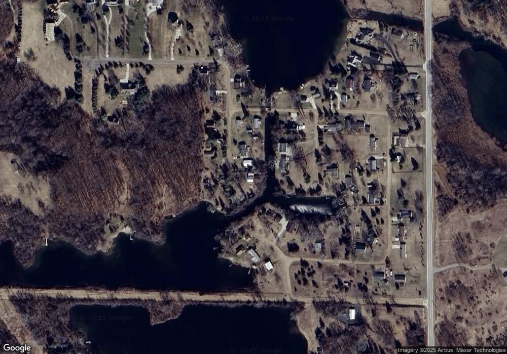
Map
Nearby Homes
- 900 Pamawa Dr
- 14800 Canary Ct
- Lot 62 Pamawa Dr
- 61 Pamawa Dr
- 15281 U S 12
- 8000 Parkhurst Hwy Unit Carroll Dr ((1175)
- 10911 Devils Lake Hwy
- 6360 Winter Rd
- 8788 Parker Hwy
- 6103 Highland Ave
- 9111 Marr Hwy
- 5935 Tower Dr
- 753 Vaniman Island Dr
- 6820 Devils Lake Hwy
- 8484 N Rollin Hwy
- 15858 Lelah Ln
- 6000 Devils Lake Hwy
- 11999 Laird Rd
- 7841 Devils Lake Hwy
- Unit 3 Hollyhock Dr
- 10000 1st Ave Unit BLK
- 10000 1st Ave Unit BLK
- 10000 1st Ave Unit BLK
- 10000 1st Ave Unit BLK
- 10473 1st Ave
- 10446 1st Ave
- 14011 1st Ave
- 900 Pamawa Dr Unit BLK
- 900 Pamawa Dr Unit BLK
- 900 Pamawa Dr Unit BLK
- 900 Pamawa Dr Unit BLK
- 900 Pamawa Dr Unit BLK
- 900 Pamawa Dr Unit BLK
- 900 Pamawa Dr Unit BLK
- 900 Pamawa Dr Unit BLK
- 900 Pamawa Dr Unit BLK
- 900 Pamawa Dr Unit BLK
- 900 Pamawa Dr Unit BLK
- 900 Pamawa Dr Unit Lot 57
- 900 Pamawa Dr Unit LOT 53