10000 Middlerock Rd Anchorage, AK 99507
Basher NeighborhoodEstimated Value: $635,000 - $1,172,892
3
Beds
3
Baths
3,014
Sq Ft
$300/Sq Ft
Est. Value
About This Home
This home is located at 10000 Middlerock Rd, Anchorage, AK 99507 and is currently estimated at $903,946, approximately $299 per square foot. 10000 Middlerock Rd is a home located in Anchorage Municipality with nearby schools including Baxter Elementary School, Wendler Middle School, and Bettye Davis East Anchorage High School.
Ownership History
Date
Name
Owned For
Owner Type
Purchase Details
Closed on
Dec 18, 2018
Sold by
Paris Daniel N and Paris Patti A
Bought by
Paris Daniel N and Paris Patti A
Current Estimated Value
Purchase Details
Closed on
Jun 29, 2005
Sold by
Mckean John S and Julien Katie C
Bought by
Paris Daniel N and Paris Patti A
Create a Home Valuation Report for This Property
The Home Valuation Report is an in-depth analysis detailing your home's value as well as a comparison with similar homes in the area
Home Values in the Area
Average Home Value in this Area
Purchase History
| Date | Buyer | Sale Price | Title Company |
|---|---|---|---|
| Paris Daniel N | -- | None Available | |
| Paris Daniel N | -- | Stewart |
Source: Public Records
Tax History
| Year | Tax Paid | Tax Assessment Tax Assessment Total Assessment is a certain percentage of the fair market value that is determined by local assessors to be the total taxable value of land and additions on the property. | Land | Improvement |
|---|---|---|---|---|
| 2025 | $14,602 | $1,195,800 | $366,000 | $829,800 |
| 2024 | $14,602 | $1,059,300 | $366,000 | $693,300 |
| 2023 | $14,926 | $969,200 | $347,600 | $621,600 |
| 2022 | $14,640 | $941,500 | $347,700 | $593,800 |
| 2021 | $14,643 | $875,800 | $347,700 | $528,100 |
| 2020 | $12,609 | $840,600 | $347,700 | $492,900 |
| 2019 | $12,644 | $842,900 | $347,700 | $495,200 |
| 2018 | $11,535 | $819,500 | $347,700 | $471,800 |
| 2017 | $11,880 | $828,700 | $333,900 | $494,800 |
| 2016 | $11,066 | $899,400 | $343,400 | $556,000 |
| 2015 | $11,066 | $902,200 | $370,600 | $531,600 |
| 2014 | $11,066 | $863,100 | $370,600 | $492,500 |
Source: Public Records
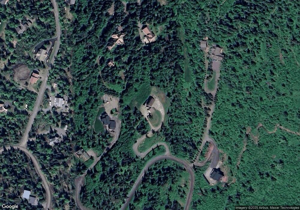
Map
Nearby Homes
- 9921 Nearpoint Dr
- L1 Montagne Cir
- 9900 Hillhaven Cir
- 8810 Pioneer Dr
- 8050 Pioneer Dr Unit 303
- L5 Panorama Dr
- L7 Panorama Dr
- L13 Panorama Dr
- L3 Panorama Dr
- L1 Panorama Dr
- L9 Panorama Dr
- L6 Panorama Dr
- L2 Panorama Dr
- 7714 Hennings Way
- 3420 Meadowbrook Cir
- 7509 Beacon Hill Dr
- 8500 Ridgeway Ave
- 6918 Gemini Dr Unit B2
- 10640 Stroganof Dr
- 6245 E Tudor Rd Unit 16
- 9927 Nearpoint Dr
- 6910 Catine Cir
- 9611 Burning Bush Dr
- 9990 Middlerock Rd
- 9921 Nearpoint Dr Unit 1
- 9921 Nearpoint Dr Unit 3
- 9921 Nearpoint Dr Unit 2
- 6911 Catine Cir
- 9551 Burning Bush Dr
- 9970 Middlerock Rd
- L1 B1 Burning Bush Dr
- 9620 Burning Bush Dr
- L5 B2 Catine Cir
- 000 Catine Cir
- 9630 Burning Bush Dr
- 9875 Nearpoint Dr
- 9939 Middlerock Rd
- L5 B1 Nearpoint Dr
- L1B-1 Nearpoint Dr
- 9930 Nearpoint Dr
Your Personal Tour Guide
Ask me questions while you tour the home.