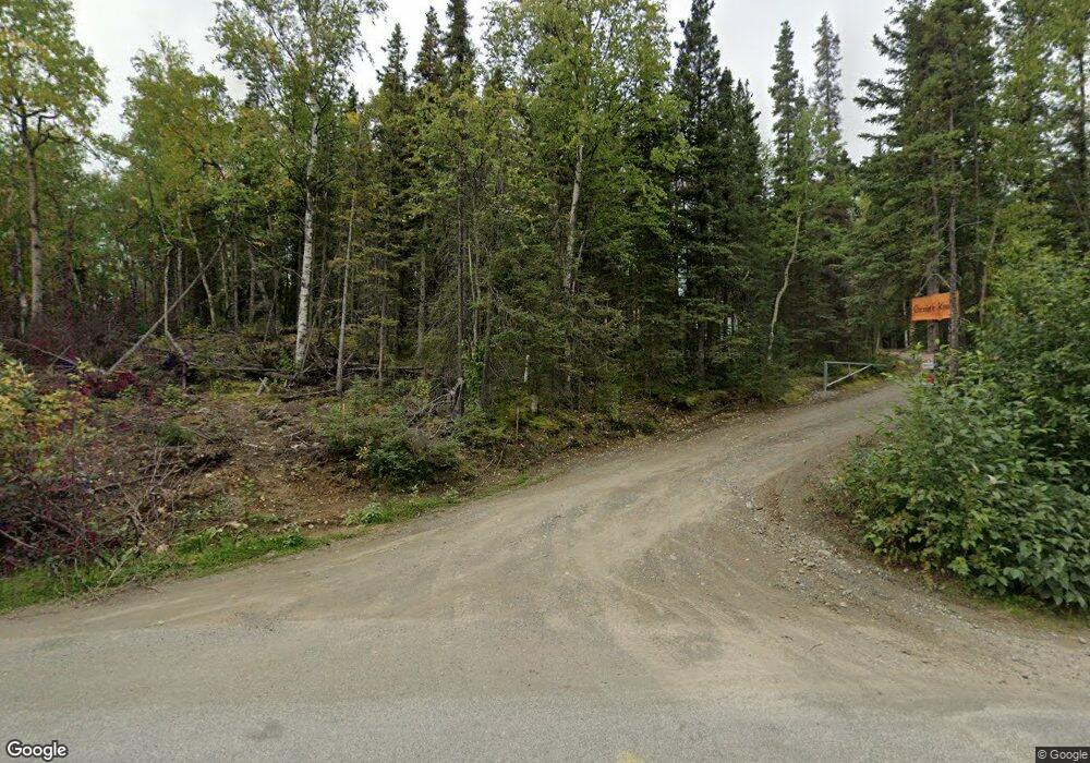
10000 Our Rd Anchorage, AK 99507
Mid-Hillside NeighborhoodEstimated Value: $467,000
2
Beds
2
Baths
1,344
Sq Ft
$347/Sq Ft
Est. Value
About This Home
This home is located at 10000 Our Rd, Anchorage, AK 99507 and is currently priced at $467,000, approximately $347 per square foot. 10000 Our Rd is a home located in Anchorage Municipality with nearby schools including O'Malley Elementary School, Hanshew Middle School, and Service High School.
Ownership History
Date
Name
Owned For
Owner Type
Purchase Details
Closed on
May 3, 2022
Sold by
Denise K Deal Living Trust
Bought by
Deal Timothy Edward and Deal Denise K
Current Estimated Value
Home Financials for this Owner
Home Financials are based on the most recent Mortgage that was taken out on this home.
Original Mortgage
$528,000
Outstanding Balance
$506,451
Interest Rate
4.42%
Mortgage Type
New Conventional
Purchase Details
Closed on
Feb 29, 2012
Sold by
Osgood Gordon N and Deal Denisek
Bought by
Osgood Gordon N and Deal Denise K
Create a Home Valuation Report for This Property
The Home Valuation Report is an in-depth analysis detailing your home's value as well as a comparison with similar homes in the area
Home Values in the Area
Average Home Value in this Area
Purchase History
| Date | Buyer | Sale Price | Title Company |
|---|---|---|---|
| Deal Timothy Edward | -- | -- | |
| Osgood Gordon N | -- | None Available |
Source: Public Records
Mortgage History
| Date | Status | Borrower | Loan Amount |
|---|---|---|---|
| Open | Deal Timothy Edward | $528,000 |
Source: Public Records
Tax History Compared to Growth
Tax History
| Year | Tax Paid | Tax Assessment Tax Assessment Total Assessment is a certain percentage of the fair market value that is determined by local assessors to be the total taxable value of land and additions on the property. | Land | Improvement |
|---|---|---|---|---|
| 2021 | $7,513 | $416,900 | $214,200 | $202,700 |
| 2020 | $6,994 | $411,400 | $214,200 | $197,200 |
| 2019 | $6,680 | $408,300 | $214,200 | $194,100 |
| 2018 | $6,489 | $395,700 | $218,800 | $176,900 |
| 2017 | -- | $398,900 | $209,100 | $189,800 |
| 2016 | $5,889 | $413,300 | $209,100 | $204,200 |
| 2015 | $5,889 | $406,300 | $205,100 | $201,200 |
| 2014 | $5,889 | $392,900 | $205,100 | $187,800 |
Source: Public Records
Map
Nearby Homes
- 4601 E 104th Ave
- 000 Valley View Dr
- 5641 E 99th Ave
- 10706 Whimbrel Dr
- 4410 O'Malley Rd
- 5900 Orth Cir
- 4400 O'Malley Rd
- 0 Rd
- L3 Totem Rd
- 11135 Our Rd
- 4715 E 112th Ave
- 0000 E 113th Ave
- 3890 Janet Lee Cir
- 9170 Chipwood Cir
- 3930 Eric Cir
- 6324 Red Tree Cir
- 3831 Winchester Loop
- 9191 Chapelle Cir
- 6411 Ridge Tree Cir
- 9089 Nuthatch Place Unit 2K
- 10041 Hanley Cir
- 9940 Spring Hill Dr
- 9900 Spring Hill Dr
- 9920 Spring Hill Dr
- 10001 Hanley Cir
- 10160 Our Rd
- 10100 Our Rd
- 4821 E 102nd Ave
- 10075 Our Rd
- 5000 E 98th Ave
- 10111 Hanley Cir
- 10103 Our Rd
- 4720 Silver Spring Cir
- 4740 Silver Spring Cir
- 9821 Spring Hill Dr
- 9801 Spring Hill Dr
- 4700 Silver Spring Cir
- 5001 E 98th Ave
- 10100 Hanley Cir
- 5005 E 98th Ave
