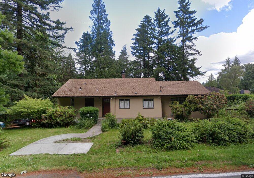
10000 SW Lancaster Rd Portland, OR 97219
Marshall Park NeighborhoodEstimated Value: $593,000 - $790,000
2
Beds
2
Baths
1,291
Sq Ft
$514/Sq Ft
Est. Value
About This Home
This home is located at 10000 SW Lancaster Rd, Portland, OR 97219 and is currently estimated at $664,104, approximately $514 per square foot. 10000 SW Lancaster Rd is a home located in Multnomah County with nearby schools including Stephenson Elementary School, Jackson Middle School, and Ida B. Wells-Barnett High School.
Ownership History
Date
Name
Owned For
Owner Type
Purchase Details
Closed on
Oct 23, 1997
Sold by
Mcquiston Jacqueline
Bought by
Melikian Monuck C
Current Estimated Value
Home Financials for this Owner
Home Financials are based on the most recent Mortgage that was taken out on this home.
Original Mortgage
$100,000
Outstanding Balance
$15,525
Interest Rate
7.49%
Mortgage Type
Purchase Money Mortgage
Estimated Equity
$648,579
Create a Home Valuation Report for This Property
The Home Valuation Report is an in-depth analysis detailing your home's value as well as a comparison with similar homes in the area
Home Values in the Area
Average Home Value in this Area
Purchase History
| Date | Buyer | Sale Price | Title Company |
|---|---|---|---|
| Melikian Monuck C | $185,000 | Chicago Title |
Source: Public Records
Mortgage History
| Date | Status | Borrower | Loan Amount |
|---|---|---|---|
| Open | Melikian Monuck C | $100,000 |
Source: Public Records
Tax History Compared to Growth
Tax History
| Year | Tax Paid | Tax Assessment Tax Assessment Total Assessment is a certain percentage of the fair market value that is determined by local assessors to be the total taxable value of land and additions on the property. | Land | Improvement |
|---|---|---|---|---|
| 2025 | $7,598 | $282,250 | -- | -- |
| 2024 | $7,325 | $274,030 | -- | -- |
| 2023 | $7,043 | $266,050 | $0 | $0 |
| 2022 | $6,891 | $258,310 | $0 | $0 |
| 2021 | $6,774 | $250,790 | $0 | $0 |
| 2020 | $6,214 | $243,490 | $0 | $0 |
| 2019 | $5,986 | $236,400 | $0 | $0 |
| 2018 | $5,810 | $229,520 | $0 | $0 |
| 2017 | $5,568 | $222,840 | $0 | $0 |
| 2016 | $5,096 | $216,350 | $0 | $0 |
| 2015 | $4,962 | $210,050 | $0 | $0 |
| 2014 | $4,887 | $203,940 | $0 | $0 |
Source: Public Records
Map
Nearby Homes
- 9855 SW 25th Ave
- 0 SW Lancaster Rd Unit 722439051
- 0 SW Lancaster Rd Unit 540028719
- 2249 SW Taylors Ferry Rd
- 9224 SW 26th Ave
- 1845 SW Taylors Ferry Rd
- 2731 SW 28th Dr
- 10850 SW Creightonwood Place
- 9818 SW 34th Place
- 9822 SW 34th Place
- 9824 SW 34th Place
- 0 SW Taylors Ferry Ct Unit 171663449
- 1345 SW Taylors Ferry Ct
- 9375 SW 8th Ave
- 9341 SW 8th Ave
- 3615 SW Huber St
- 2531 SW Spring Garden St
- 1035 SW Palatine St
- 2644 SW Hume Ct
- 2616 SW Hume Ct Unit 28
- 2025 SW Broadleaf Dr
- 9971 SW Lancaster Rd
- 10005 SW Lancaster Rd
- 9900 SW Lancaster Rd
- 2030 SW Broadleaf Dr
- 2001 SW Broadleaf Dr
- 10101 SW Lancaster Rd
- 9812 SW Lancaster Rd
- 9951 SW Lancaster Rd
- 10002 SW Balmer Cir
- 10030 SW Lancaster Rd
- 9933 SW Lancaster Rd
- 10127 SW Lancaster Rd
- 1943 SW Broadleaf Dr
- 10115 SW Lancaster Rd
- 9921 SW Lancaster Rd
- 9855 SW Lancaster Rd
- 10006 SW Balmer Cir
- 10129 SW Lancaster Rd