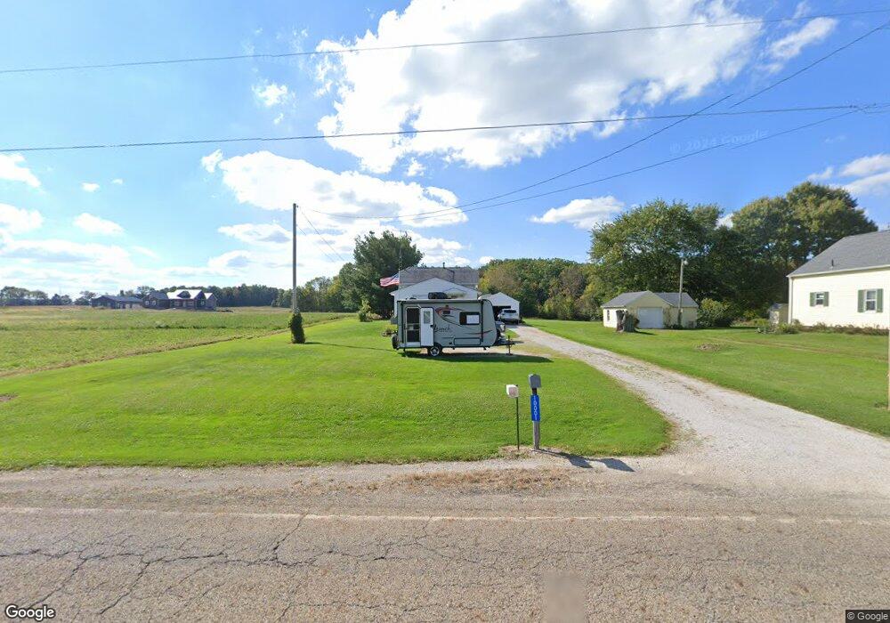
10001 Moulin Ave NE Alliance, OH 44601
Estimated Value: $178,000 - $223,000
3
Beds
1
Bath
1,068
Sq Ft
$186/Sq Ft
Est. Value
About This Home
This home is located at 10001 Moulin Ave NE, Alliance, OH 44601 and is currently estimated at $198,969, approximately $186 per square foot. 10001 Moulin Ave NE is a home located in Stark County with nearby schools including Marlington High School and Regina Coeli/St Joseph School.
Ownership History
Date
Name
Owned For
Owner Type
Purchase Details
Closed on
Aug 7, 2019
Sold by
Frank John E and Frank Nancy L
Bought by
Frank John E and Frank Nancy L
Current Estimated Value
Create a Home Valuation Report for This Property
The Home Valuation Report is an in-depth analysis detailing your home's value as well as a comparison with similar homes in the area
Home Values in the Area
Average Home Value in this Area
Purchase History
| Date | Buyer | Sale Price | Title Company |
|---|---|---|---|
| Frank John E | -- | None Available |
Source: Public Records
Tax History Compared to Growth
Tax History
| Year | Tax Paid | Tax Assessment Tax Assessment Total Assessment is a certain percentage of the fair market value that is determined by local assessors to be the total taxable value of land and additions on the property. | Land | Improvement |
|---|---|---|---|---|
| 2025 | -- | $49,390 | $10,820 | $38,570 |
| 2024 | -- | $49,390 | $10,820 | $38,570 |
| 2023 | $946 | $35,990 | $10,050 | $25,940 |
| 2022 | $964 | $35,990 | $10,050 | $25,940 |
| 2021 | $967 | $35,990 | $10,050 | $25,940 |
| 2020 | $847 | $30,000 | $8,650 | $21,350 |
| 2019 | $841 | $30,010 | $8,650 | $21,360 |
| 2018 | $843 | $30,010 | $8,650 | $21,360 |
| 2017 | $755 | $26,580 | $6,440 | $20,140 |
| 2016 | $677 | $24,750 | $6,440 | $18,310 |
| 2015 | $644 | $24,750 | $6,440 | $18,310 |
| 2014 | $628 | $23,000 | $5,990 | $17,010 |
| 2013 | $312 | $23,000 | $5,990 | $17,010 |
Source: Public Records
Map
Nearby Homes
- 0 Reeder Ave NE
- 10666 Wilma Ave NE
- 2377 Ansley St Unit 2377
- 1430 Westwood Ave
- 0 Meadow St NE
- 2851 Patriots Path Unit 3D
- 12355 Edison St NE
- 2081 Marwood Cir
- 2435 Queensbury Rd
- 11960 Freshley Ave NE
- 0 Valewood Cir Unit 5006281
- 0 W Main St Unit 5090123
- 11480 Aebi Ave NE
- 0 Easton St NE
- 13109 Edison St NE
- 12415 Snode St NE
- 1201 Overlook Dr
- 2220 Western Ave
- 000 Klinger Ave
- 0 Winchester St
- 10021 Moulin Ave NE
- 9880 Moulin Ave NE
- 10200 Moulin Ave NE
- V/L Moulin Ave
- 9493 Moulin Ave NE
- 9551 Moulin Ave NE
- 9542 Moulin Ave NE
- 9515 Moulin Ave NE
- 10009 Mccallum Ave NE
- 10029 Mccallum Ave NE
- 10049 Mccallum Ave NE
- 9951 Mccallum Ave NE
- 10069 Mccallum Ave NE
- 9931 Mccallum Ave NE
- 10087 Mccallum Ave NE
- 10135 Mccallum Ave NE
- 9859 Mccallum Ave NE
- 9859 Mccallum Ave NE
- 9849 Mccallum Ave NE
- 10161 Mccallum Ave NE