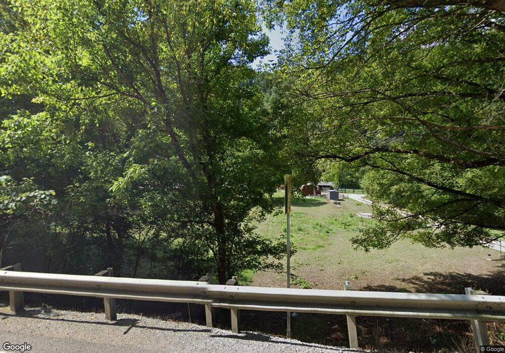
10001 State Highway 194 E Kimper, KY 41539
Estimated Value: $72,000 - $213,000
2
Beds
1
Bath
744
Sq Ft
$165/Sq Ft
Est. Value
About This Home
This home is located at 10001 State Highway 194 E, Kimper, KY 41539 and is currently estimated at $122,810, approximately $165 per square foot. 10001 State Highway 194 E is a home.
Ownership History
Date
Name
Owned For
Owner Type
Purchase Details
Closed on
Aug 29, 2011
Sold by
Estate Of David Anthony Lee Slone and Davis John
Bought by
Collins Christopher R
Current Estimated Value
Home Financials for this Owner
Home Financials are based on the most recent Mortgage that was taken out on this home.
Original Mortgage
$58,479
Outstanding Balance
$40,596
Interest Rate
4.55%
Mortgage Type
FHA
Estimated Equity
$82,214
Purchase Details
Closed on
Apr 27, 2007
Sold by
Estep Dorlis
Bought by
Anthony Lee Slone David
Create a Home Valuation Report for This Property
The Home Valuation Report is an in-depth analysis detailing your home's value as well as a comparison with similar homes in the area
Home Values in the Area
Average Home Value in this Area
Purchase History
| Date | Buyer | Sale Price | Title Company |
|---|---|---|---|
| Collins Christopher R | $60,000 | None Available | |
| Anthony Lee Slone David | $75,000 | None Available |
Source: Public Records
Mortgage History
| Date | Status | Borrower | Loan Amount |
|---|---|---|---|
| Open | Collins Christopher R | $58,479 |
Source: Public Records
Tax History Compared to Growth
Tax History
| Year | Tax Paid | Tax Assessment Tax Assessment Total Assessment is a certain percentage of the fair market value that is determined by local assessors to be the total taxable value of land and additions on the property. | Land | Improvement |
|---|---|---|---|---|
| 2024 | $845 | $60,000 | $0 | $0 |
| 2023 | $1,558 | $60,000 | $0 | $0 |
| 2022 | $854 | $60,000 | $0 | $0 |
| 2021 | $1,538 | $60,000 | $0 | $0 |
| 2020 | $858 | $60,000 | $0 | $0 |
| 2019 | $1,404 | $60,000 | $0 | $0 |
| 2018 | $861 | $60,000 | $0 | $0 |
| 2017 | $855 | $60,000 | $0 | $0 |
| 2016 | $691 | $60,000 | $0 | $0 |
| 2015 | $632 | $60,000 | $0 | $0 |
| 2014 | $595 | $60,000 | $0 | $0 |
| 2012 | $697 | $60,000 | $15,000 | $45,000 |
Source: Public Records
Map
Nearby Homes
- 15694 Kentucky 194
- 15100 Kentucky 194
- 523 Hurricane Creek
- 2446 Grassy Branch
- 2377 Hurricane Creek
- 321 Gabriel Fork
- 523 Rigth Fork of Grassy Branch
- 214 Crigger Hollow
- 2506 Dix Fork
- 486 Grassy Branch
- 200 Stanley Ln
- 2588 Meathouse Fork
- 0000 Raccoon Rd
- 247 Netley Branch
- 1115 Stratton Fork
- 8812 Meta Hwy
- 87 Winns 2nd St
- 492 Upper Camp Branch
- 68 Rounder Rd
- 6057 Zebulon Hwy
- 10091 State Highway 194 E
- 10083 State Highway 194 E
- 10065 State Highway 194 E
- 10039 State Highway 194 E
- 7800 State Highway 194 E
- 10109 State Highway 194 E
- 8779 Hwy 194e
- 9981 State Highway 194 E
- 9955 State Highway 194 E
- 7837 State Highway 194 E
- 8754 State Highway 194 E
- 7845 State Highway 194 E
- 7917 Kentucky 194
- 10262 State Highway 194 E
- 7845 Kentucky 194
- 8049 State Highway 194 E
- 8055 State Highway 194 E
- 8031 State Highway 194 E
- 10361 State Highway 194 E
- 10457 State Highway 194 E
