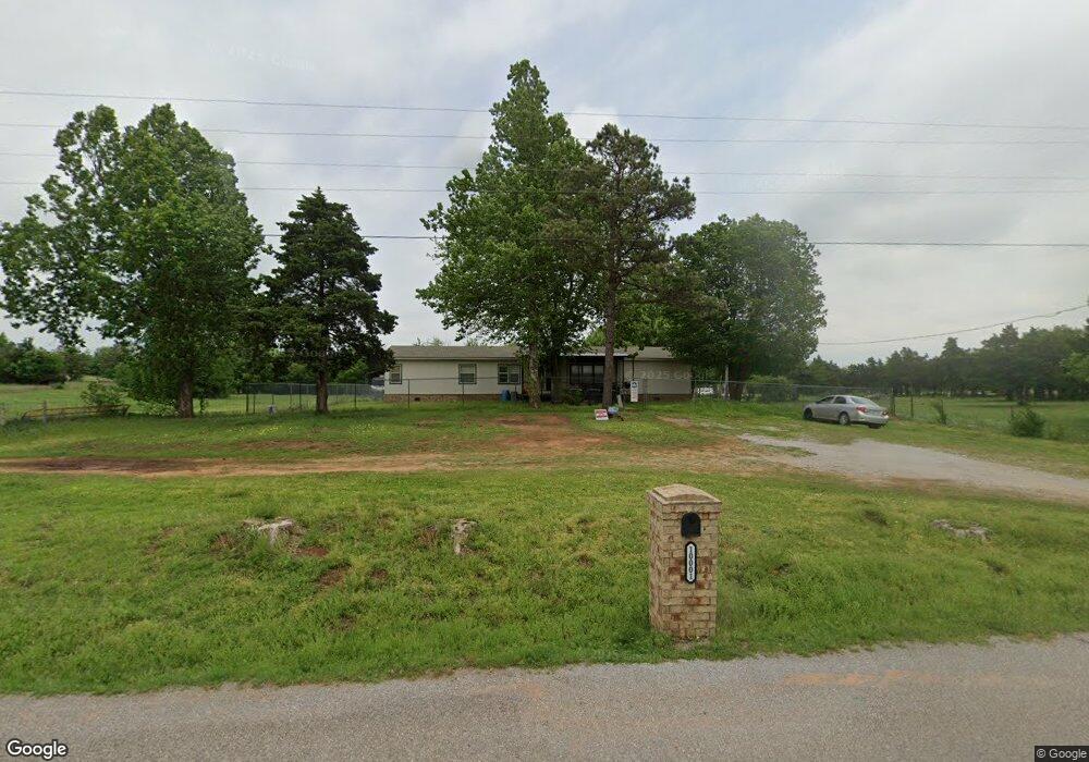
10001 SW 104th St Mustang, OK 73064
South Mustang NeighborhoodEstimated Value: $366,812 - $480,000
--
Bed
--
Bath
2,174
Sq Ft
$196/Sq Ft
Est. Value
About This Home
This home is located at 10001 SW 104th St, Mustang, OK 73064 and is currently estimated at $425,271, approximately $195 per square foot. 10001 SW 104th St is a home with nearby schools including Mustang Elementary School, Mustang Horizon Intermediate School, and Mustang Middle School.
Ownership History
Date
Name
Owned For
Owner Type
Purchase Details
Closed on
May 26, 2006
Sold by
Stonebraker Robert Steven and Stonebraker Janeen
Bought by
Bradshaw Jason Perry and Bradshaw Becky Renee
Current Estimated Value
Home Financials for this Owner
Home Financials are based on the most recent Mortgage that was taken out on this home.
Original Mortgage
$51,750
Interest Rate
6.56%
Mortgage Type
New Conventional
Purchase Details
Closed on
Feb 17, 1988
Create a Home Valuation Report for This Property
The Home Valuation Report is an in-depth analysis detailing your home's value as well as a comparison with similar homes in the area
Home Values in the Area
Average Home Value in this Area
Purchase History
| Date | Buyer | Sale Price | Title Company |
|---|---|---|---|
| Bradshaw Jason Perry | $517,500 | Stewart Abstract & Title Of | |
| -- | $47,500 | -- |
Source: Public Records
Mortgage History
| Date | Status | Borrower | Loan Amount |
|---|---|---|---|
| Closed | Bradshaw Jason Perry | $51,750 |
Source: Public Records
Tax History Compared to Growth
Tax History
| Year | Tax Paid | Tax Assessment Tax Assessment Total Assessment is a certain percentage of the fair market value that is determined by local assessors to be the total taxable value of land and additions on the property. | Land | Improvement |
|---|---|---|---|---|
| 2024 | $1,610 | $15,676 | $9,322 | $6,354 |
| 2023 | $1,610 | $15,219 | $7,214 | $8,005 |
| 2022 | $1,583 | $14,776 | $7,214 | $7,562 |
| 2021 | $1,605 | $15,018 | $7,214 | $7,804 |
| 2020 | $1,622 | $15,018 | $7,214 | $7,804 |
| 2019 | $1,648 | $15,260 | $7,214 | $8,046 |
| 2018 | $1,774 | $16,070 | $4,460 | $11,610 |
| 2017 | $1,697 | $15,603 | $3,819 | $11,784 |
| 2016 | $1,639 | $15,602 | $3,656 | $11,946 |
| 2015 | -- | $14,706 | $3,151 | $11,555 |
| 2014 | -- | $14,162 | $2,702 | $11,460 |
Source: Public Records
Map
Nearby Homes
- 1301 S Morgan Rd
- 9109 Prairie Farms Dr
- 1232 E Stallion Ln
- 1237 E Stallion Ln
- 1233 E Stallion Ln
- 932 S Bear Ln
- 1220 E Ruger Ln
- 1216 E Ruger Ln
- 1208 E Ruger Ln
- 1212 E Ruger Ln
- 928 S Bear Ln
- 1205 E Ruger Ln
- 1029 S Appaloosa Ln
- 1237 E Ruger Ln
- 1232 E Ruger Ln
- 929 S Buffalo Ln
- 1017 S Appaloosa Ln
- 933 S Buffalo Ln
- 1224 E Ruger Ln
- 1005 S Colt Ln
- 9909 SW 104th St
- 10031 SW 104th St
- 10234 Willis Dr
- 9901 SW 104th St
- 9813 SW 104th St
- 10313 S Morgan Rd
- 10137 SW 104th St
- 9801 SW 104th St
- 10004 Quail Run Rd
- 10100 Quail Run Rd
- 10100 Quail Run Rd
- 10117 S Morgan Rd
- 10105 S Morgan Rd
- 10401 S Arapaho Ln
- 10005 S Morgan Rd
- 10000 Quail Run Rd
- 10221 S Arapaho Ln
- 9905 S Morgan Rd
- 10008 S Morgan Rd
- 10400 S Arapaho Ln