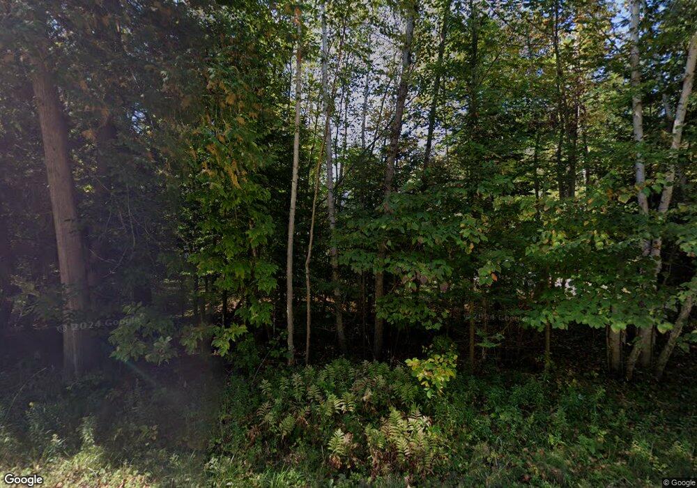
10002 Mccarthy Rd Alanson, MI 49706
Estimated Value: $1,080,668 - $1,537,000
--
Bed
--
Bath
--
Sq Ft
1.71
Acres
About This Home
This home is located at 10002 Mccarthy Rd, Alanson, MI 49706 and is currently estimated at $1,257,889. 10002 Mccarthy Rd is a home located in Emmet County with nearby schools including Alanson Public School.
Ownership History
Date
Name
Owned For
Owner Type
Purchase Details
Closed on
Jun 26, 2012
Sold by
Fowler John and Fowler Diane S
Bought by
Fowler John M and Fowler Diane S
Current Estimated Value
Purchase Details
Closed on
Jun 20, 2012
Sold by
Fowler John M and Fowler Diane S
Bought by
Fowler John and Fowler Diane S
Purchase Details
Closed on
Jul 13, 2009
Sold by
Fowler John M and Fowler Diane S
Bought by
Fowler John M and Fowler Diane S
Home Financials for this Owner
Home Financials are based on the most recent Mortgage that was taken out on this home.
Original Mortgage
$344,000
Interest Rate
4.92%
Purchase Details
Closed on
Jun 12, 2009
Sold by
Fowler John M and Fowler Diane S
Bought by
Fowler John M and Fowler Diane S
Home Financials for this Owner
Home Financials are based on the most recent Mortgage that was taken out on this home.
Original Mortgage
$344,000
Interest Rate
4.92%
Purchase Details
Closed on
Nov 18, 2005
Bought by
Fowler John & Diane Trust
Create a Home Valuation Report for This Property
The Home Valuation Report is an in-depth analysis detailing your home's value as well as a comparison with similar homes in the area
Home Values in the Area
Average Home Value in this Area
Purchase History
| Date | Buyer | Sale Price | Title Company |
|---|---|---|---|
| Fowler John M | $29,500 | -- | |
| Fowler John | -- | -- | |
| Fowler John M | -- | -- | |
| Fowler John M | -- | -- | |
| Fowler John & Diane Trust | $300,000 | -- |
Source: Public Records
Mortgage History
| Date | Status | Borrower | Loan Amount |
|---|---|---|---|
| Previous Owner | Fowler John M | $344,000 |
Source: Public Records
Tax History Compared to Growth
Tax History
| Year | Tax Paid | Tax Assessment Tax Assessment Total Assessment is a certain percentage of the fair market value that is determined by local assessors to be the total taxable value of land and additions on the property. | Land | Improvement |
|---|---|---|---|---|
| 2025 | $6,952 | $508,300 | $508,300 | $0 |
| 2024 | $6,952 | $464,200 | $464,200 | $0 |
| 2023 | $6,247 | $408,500 | $408,500 | $0 |
| 2022 | $6,247 | $354,700 | $354,700 | $0 |
| 2021 | $5,984 | $340,800 | $340,800 | $0 |
| 2020 | $5,851 | $340,800 | $340,800 | $0 |
| 2019 | -- | $313,900 | $313,900 | $0 |
| 2018 | -- | $265,400 | $265,400 | $0 |
| 2017 | -- | $266,200 | $266,200 | $0 |
| 2016 | -- | $268,800 | $268,800 | $0 |
| 2015 | -- | $264,300 | $0 | $0 |
| 2014 | -- | $237,600 | $0 | $0 |
Source: Public Records
Map
Nearby Homes
- 9537 Lakeview Rd
- 9669 Trails End Rd
- 9555 Trails End Rd
- TBD Maple Isle Ct Unit 34
- TBD Maple Isle Ct Unit 33
- TBD Maple Isle Ct Unit 32
- TBD Maple Isle Ct Unit 32, 33 & 34
- Unit 51 Sunset Blvd
- 6332 Summerside Dr Unit 14
- 6188 Summerside Dr
- 8445 Haines Rd
- 8597 Pickerel Lake Rd
- 520 Franklin Estates
- 9009 Miller Rd
- 8425 S Us 31 Hwy Unit Parcel A
- 8425 S Us 31 Hwy Unit Parcel B
- 8503 S Us 31 Hwy
- 6911 Armock Rd
- 547 Franklin Estates
- 8805&8823 Cedar Creek Dr
- 10048 Mccarthy Rd
- 10092 Mccarthy Rd
- 10010 Lakeview Rd
- 10136 Mccarthy Rd
- 10182 Mccarthy Rd
- 10111 Lakeview Rd
- 10272 Mccarthy Dr Unit 1.10 acres
- 10272 Mccarthy Dr
- 10121 Lakeview Rd
- 10226 Mccarthy Dr
- 10226 Mccarthy Rd
- 10131 Lakeview Rd
- 10272 Mccarthy Rd
- 7028 Coors Rd
- 10161 Lakeview Rd
- 10181 Lakeview Rd
- 10360 Mccarthy Rd
- 10195 Lakeview Rd
- 9911 Lakeview Rd
- 7075 Coors Rd
