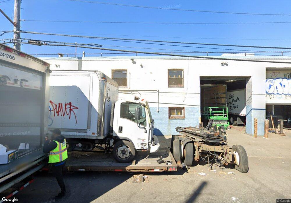
1001-1011 Stanley Ave Brooklyn, NY 11208
East New York NeighborhoodEstimated Value: $3,133,780
--
Bed
--
Bath
35,845
Sq Ft
$87/Sq Ft
Est. Value
About This Home
This home is located at 1001-1011 Stanley Ave, Brooklyn, NY 11208 and is currently estimated at $3,133,780, approximately $87 per square foot. 1001-1011 Stanley Ave is a home located in Kings County with nearby schools including P.S. 224 Hale A Woodruff, Van Siclen Community Middle School, and Achievement First Aspire Charter.
Ownership History
Date
Name
Owned For
Owner Type
Purchase Details
Closed on
Jan 22, 1998
Sold by
Cen Llc
Bought by
Kkm Realty Llc
Current Estimated Value
Purchase Details
Closed on
Nov 22, 1994
Sold by
Hoffman Bros
Bought by
Cen Llc
Home Financials for this Owner
Home Financials are based on the most recent Mortgage that was taken out on this home.
Original Mortgage
$290,000
Interest Rate
9%
Mortgage Type
Commercial
Create a Home Valuation Report for This Property
The Home Valuation Report is an in-depth analysis detailing your home's value as well as a comparison with similar homes in the area
Home Values in the Area
Average Home Value in this Area
Purchase History
| Date | Buyer | Sale Price | Title Company |
|---|---|---|---|
| Kkm Realty Llc | $680,000 | Commonwealth Land Title Ins | |
| Cen Llc | -- | -- |
Source: Public Records
Mortgage History
| Date | Status | Borrower | Loan Amount |
|---|---|---|---|
| Previous Owner | Cen Llc | $290,000 |
Source: Public Records
Tax History Compared to Growth
Tax History
| Year | Tax Paid | Tax Assessment Tax Assessment Total Assessment is a certain percentage of the fair market value that is determined by local assessors to be the total taxable value of land and additions on the property. | Land | Improvement |
|---|---|---|---|---|
| 2025 | $175,915 | $1,606,050 | $405,000 | $1,201,050 |
| 2024 | $175,915 | $2,578,050 | $405,000 | $2,173,050 |
| 2023 | $160,583 | $2,196,900 | $405,000 | $1,791,900 |
| 2022 | $145,940 | $1,887,300 | $405,000 | $1,482,300 |
| 2021 | $115,808 | $1,482,750 | $405,000 | $1,077,750 |
| 2020 | $57,904 | $1,317,600 | $405,000 | $912,600 |
| 2019 | $113,313 | $1,271,700 | $405,000 | $866,700 |
| 2018 | $88,589 | $1,204,650 | $405,000 | $799,650 |
| 2017 | $78,606 | $1,179,900 | $405,000 | $774,900 |
| 2016 | $68,696 | $1,177,650 | $405,000 | $772,650 |
| 2015 | $22,020 | $1,176,300 | $405,000 | $771,300 |
| 2014 | $22,020 | $1,012,050 | $405,000 | $607,050 |
Source: Public Records
Map
Nearby Homes
- 586 Milford St
- 589 Milford St
- 2476 Linden Blvd
- 2461 Linden Blvd
- 801 Logan St
- 517 Milford St
- 864 Euclid Ave
- 878 Euclid Ave
- 777 Logan St
- 495 Milford St
- 913 Euclid Ave
- 701 Fountain Ave
- 461 Milford St
- 956 Hegeman Ave
- 829 Pine St
- 477 Berriman St
- 434 Milford St
- 459 Berriman St
- 941 Crescent St
- 738 Shepherd Ave
- 594 Milford St
- 561 Montauk Ave
- 590 Milford St
- 559 Montauk Ave
- 557 Montauk Ave
- 557 Montauk Ave Unit Building
- 582 Milford St
- 555 Montauk Ave
- 580 Milford St
- 553 Montauk Ave
- 580 Montauk Ave
- 578 Montauk Ave
- 1010 Stanley Ave
- 560 Montauk Ave
- 578 Milford St
- 551 Montauk Ave
- 593 Milford St
- 591 Milford St
- 971-987 Stanley Ave
- 576 Milford St