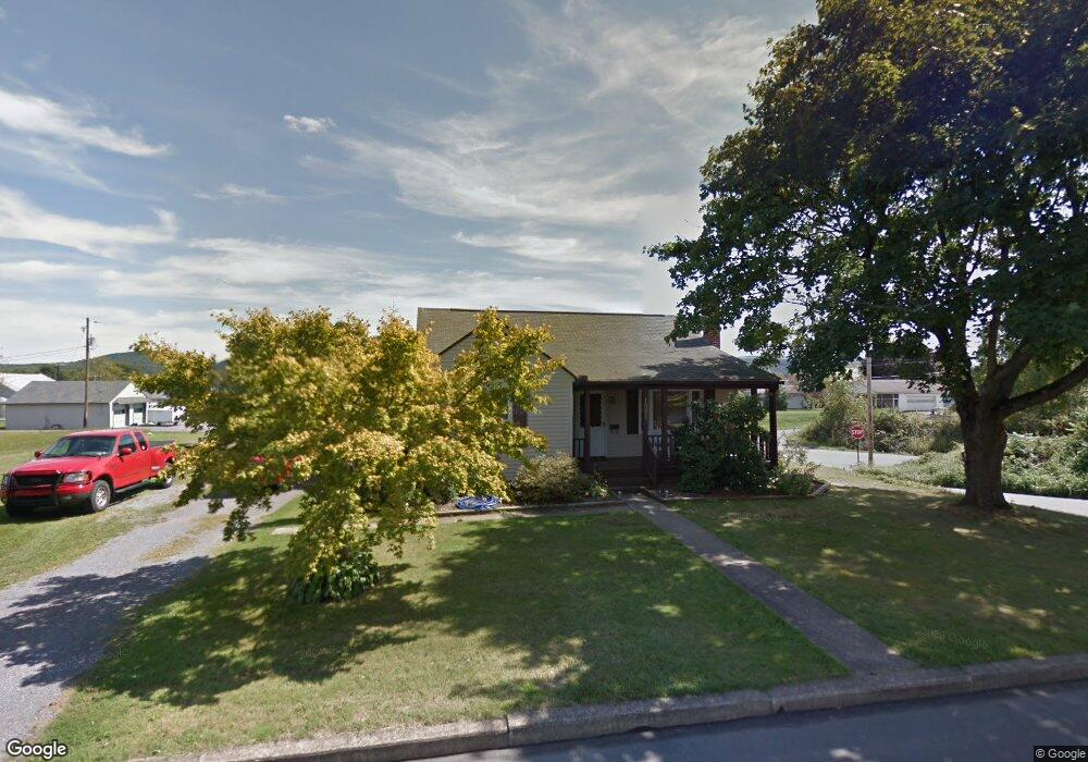
1001 9th St Selinsgrove, PA 17870
Estimated Value: $148,998 - $214,000
--
Bed
--
Bath
--
Sq Ft
0.44
Acres
About This Home
This home is located at 1001 9th St, Selinsgrove, PA 17870 and is currently estimated at $187,750. 1001 9th St is a home located in Snyder County with nearby schools including Selinsgrove Area Elementary School, Selinsgrove Intermediate School, and Selinsgrove Area Middle School.
Ownership History
Date
Name
Owned For
Owner Type
Purchase Details
Closed on
Nov 16, 2017
Sold by
Koch Jacob A and Koch Stacy B
Bought by
Koch Jacob A and Koch Stacy B
Current Estimated Value
Purchase Details
Closed on
Jun 25, 2014
Sold by
Michael D Michael D
Bought by
Koch Jacob A
Home Financials for this Owner
Home Financials are based on the most recent Mortgage that was taken out on this home.
Original Mortgage
$140,251
Outstanding Balance
$106,669
Interest Rate
4.12%
Mortgage Type
VA
Estimated Equity
$81,081
Purchase Details
Closed on
Oct 19, 2009
Sold by
Brouse Debra F and Stroup Donalee
Bought by
Fisher Michael D
Home Financials for this Owner
Home Financials are based on the most recent Mortgage that was taken out on this home.
Original Mortgage
$86,827
Interest Rate
4.98%
Mortgage Type
VA
Create a Home Valuation Report for This Property
The Home Valuation Report is an in-depth analysis detailing your home's value as well as a comparison with similar homes in the area
Home Values in the Area
Average Home Value in this Area
Purchase History
| Date | Buyer | Sale Price | Title Company |
|---|---|---|---|
| Koch Jacob A | -- | None Available | |
| Koch Jacob A | $137,300 | -- | |
| Fisher Michael D | $85,000 | -- |
Source: Public Records
Mortgage History
| Date | Status | Borrower | Loan Amount |
|---|---|---|---|
| Open | Koch Jacob A | $140,251 | |
| Previous Owner | Fisher Michael D | $86,827 |
Source: Public Records
Tax History Compared to Growth
Tax History
| Year | Tax Paid | Tax Assessment Tax Assessment Total Assessment is a certain percentage of the fair market value that is determined by local assessors to be the total taxable value of land and additions on the property. | Land | Improvement |
|---|---|---|---|---|
| 2025 | $1,726 | $14,430 | $3,600 | $10,830 |
| 2024 | $1,621 | $14,430 | $3,600 | $10,830 |
| 2023 | $647 | $14,430 | $3,600 | $10,830 |
| 2022 | $1,556 | $14,430 | $3,600 | $10,830 |
| 2021 | $1,541 | $14,430 | $3,600 | $10,830 |
| 2020 | $1,534 | $14,430 | $3,600 | $10,830 |
| 2019 | $1,527 | $14,430 | $3,600 | $10,830 |
| 2018 | $1,512 | $14,430 | $3,600 | $10,830 |
| 2017 | $1,498 | $14,430 | $3,600 | $10,830 |
| 2016 | $805 | $14,430 | $3,600 | $10,830 |
| 2015 | $53,120 | $14,430 | $3,600 | $10,830 |
| 2014 | $53,120 | $14,430 | $3,600 | $10,830 |
Source: Public Records
Map
Nearby Homes
- 722 N 8th St
- 500 N Orange St
- 501 N 9th St
- 207 Orange St Unit 209
- 21 Calvett Place
- 223 E Pine St
- 301 E Pine St
- 301 E Walnut St
- Lot 1 522 Route S
- 20 Quarry Rd
- 104 18th St
- 321 Pleasant Dr
- 1262 N Old Trail
- 0 Mill Rd
- 34 Oakmont Ct
- 594 Augusta Dr
- 0 Roosevelt Ave
- 107 Saint Andrews Way
- 81 Saint Andrews Way
- 79 Saint Andrews Way